
THE STORY OF CANADA THE COUNTRY BEGINS IN PRINCE EDWARD ISLAND, which is a good reason to visit the country’s smallest but most densely populated province. It’s also a lovely and remarkably varied place, despite being only six kilometers wide at its thinnest point. My week there only gave me a glimpse of the eastern edge of the island, so what you see here is only a fraction of what PEI has to offer.
Tourism, along with farming and fishing, is one of the province’s trio of major industries, so you can be certain that they’re ready for visitors nearly anywhere you want to go. The really great thing about PEI, though, is that the gulf between islanders and visitors isn’t nearly as wide as it could be, even elsewhere in maritime Canada, so the “real PEI” is close to the surface if you’re interested in looking.

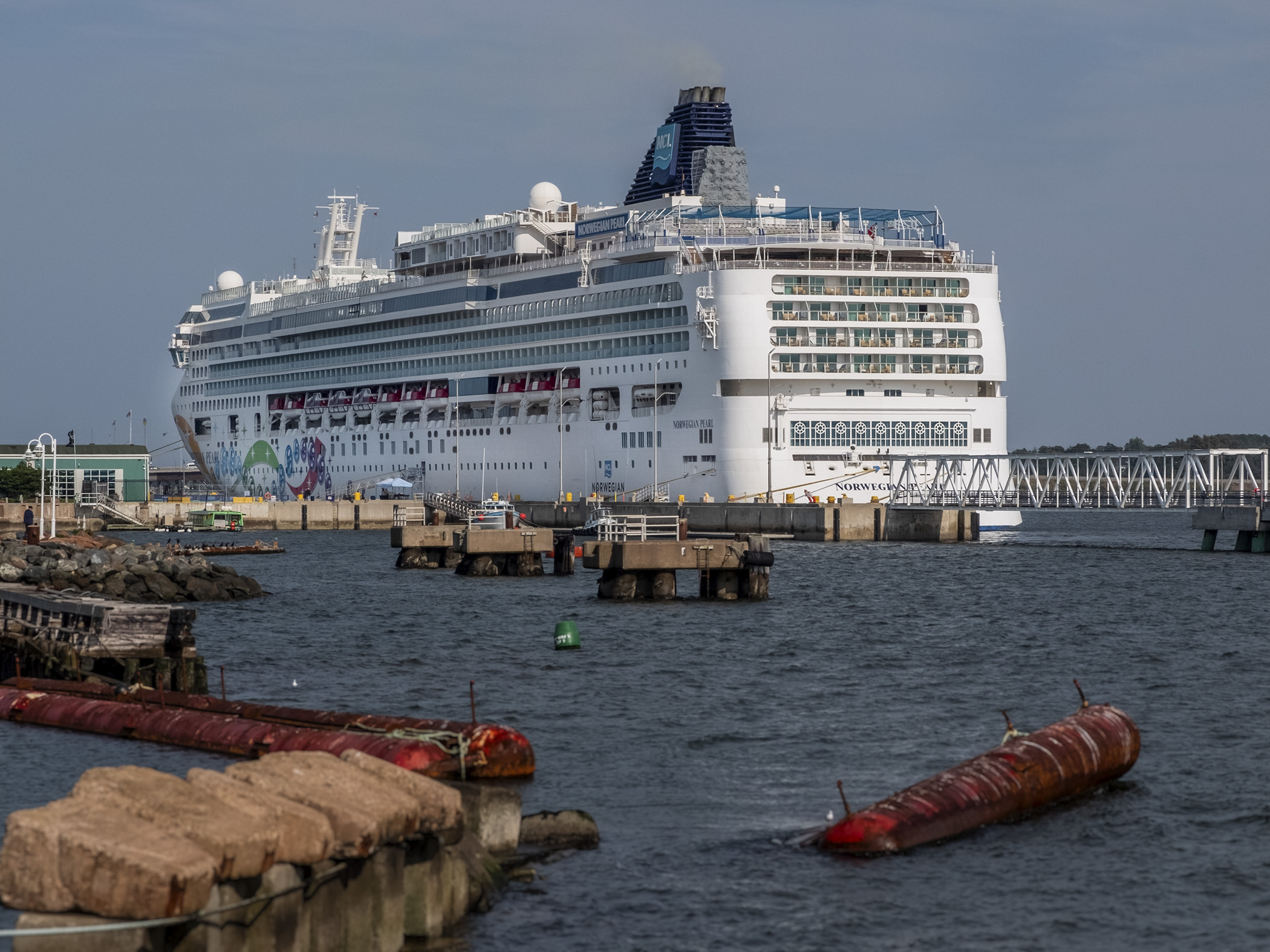
Unless you arrive by ferry or over the bridge, your visit to PEI is likely to begin in Charlottetown, the capital. Founded as a settlement by the French, it has been the capital of the province since the late 18th century, when the island was still a British colony known as St. John’s Island. The most iconic view of the skyline is seen from the pier where cruise ships dock; it was locked on the afternoon I visited the marina so I shot it from the entrance to the pier. If you arrive on a ship, make sure you take advantage of your access and get a shot of the city from the boat.

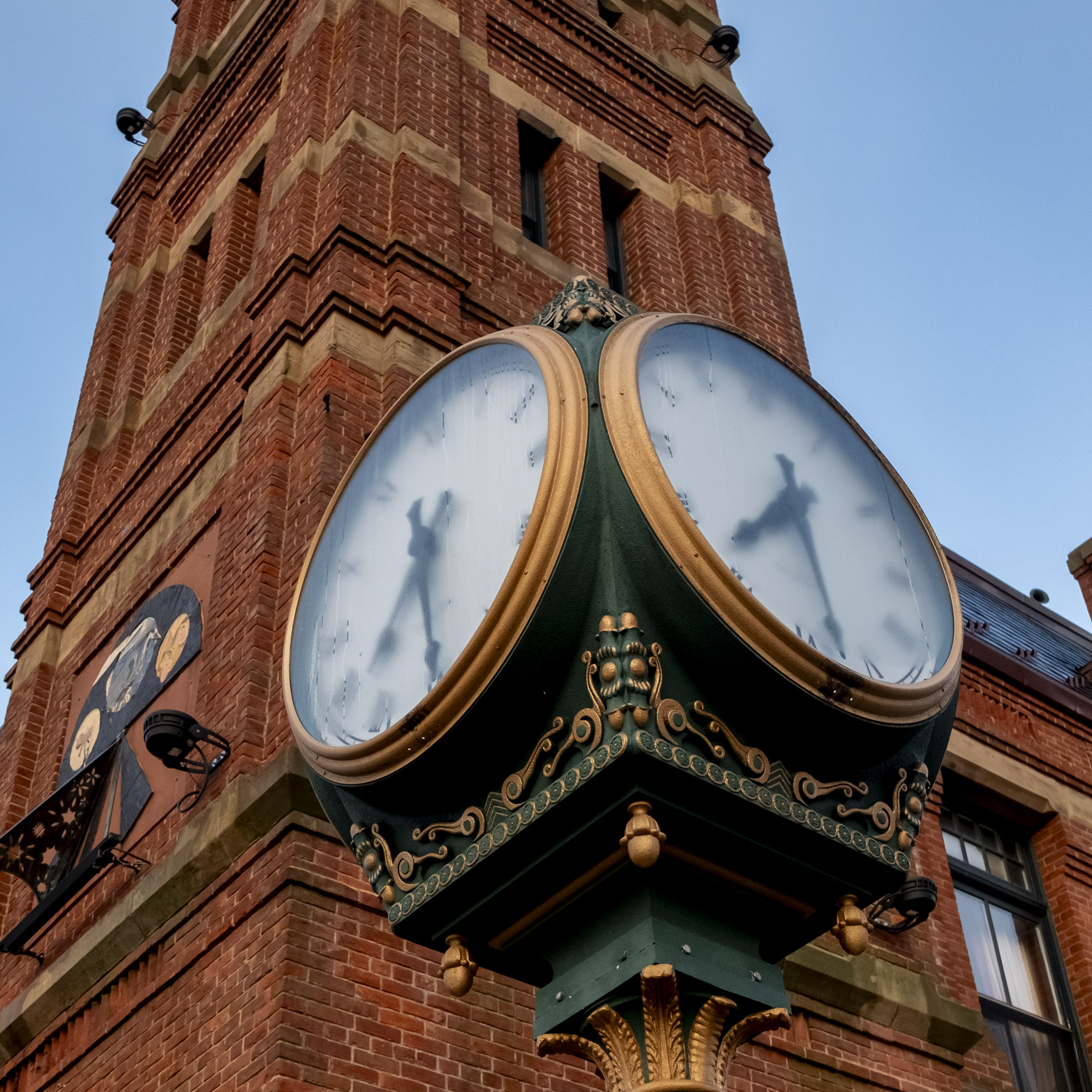

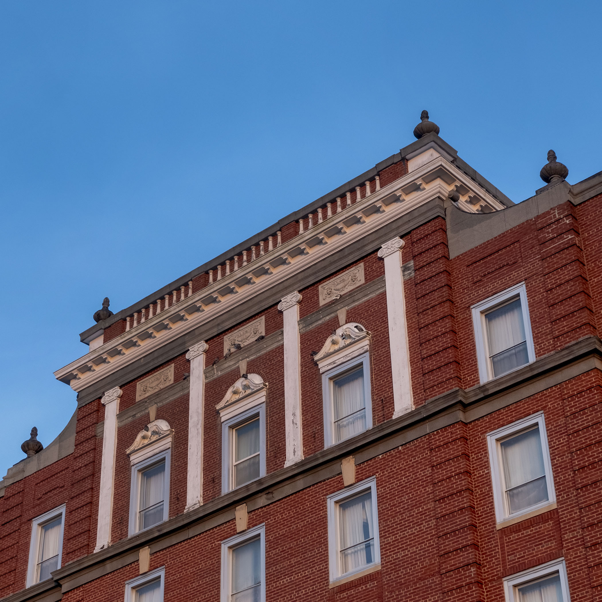


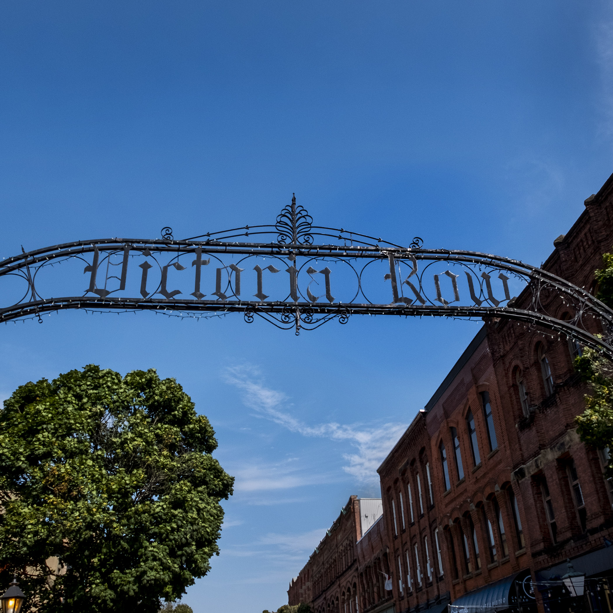
The greatest asset of Charlottetown is its walkability; I stayed at a B&B near Government House, the Lt. Governor’s residence, in the neighbourhood by Fanning Bank, in an old Queen Anne Revival mansion built in 1897. I was never more than a few minutes’ walk from Queen Street and Victoria Row, Charlottetown’s main drag. It was also convenient to getting up to capture the sunrise from the boardwalk by Government House, looking across the harbour.

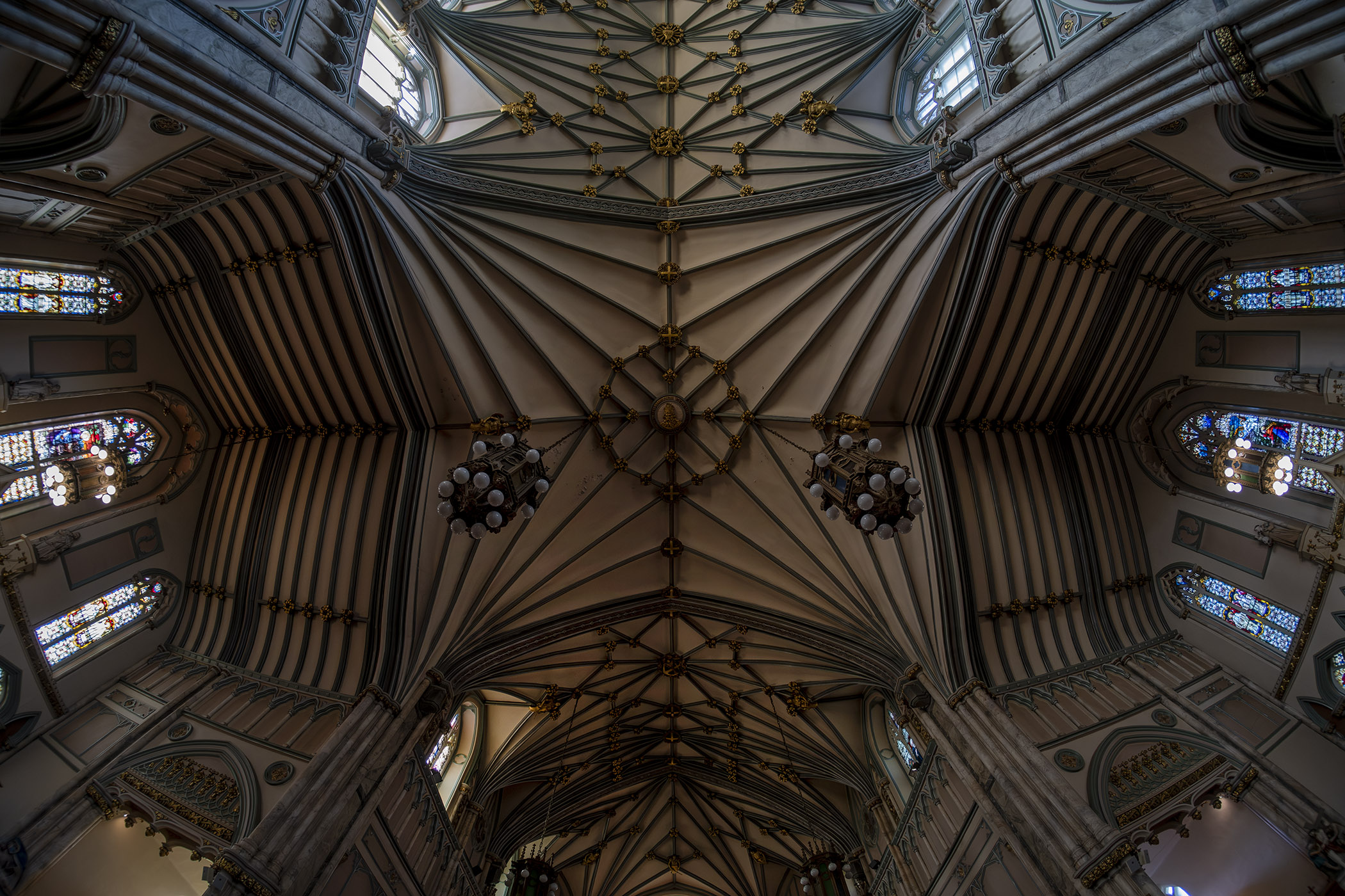
The three spires of St. Dunstan’s Basilica, the Roman Catholic Cathedral, are the landmark that anchor the skyline and mark Charlottetown’s city centre. Originally built in 1897 and destroyed by a fire in 1913, it was rebuilt in the Gothic Revival style. The interior, with its vaulting, is breathtaking, but make sure you get a look at the stone sculptures of the four evangelists by the front doors.


St. Dunstan’s is only a couple of short blocks from Province House, the historic seat of government in the province, and host to the 1864 Charlottetown Conference, where the act of confederation that would create Canada as a distinct dominion instead of a collection of colonies was discussed. A simple but elegant Greek Revival building opened in 1847, it has unfortunately been closed for renovations since 2013, when renovation on a balcony revealed far more serious structural issues throughout the whole building.
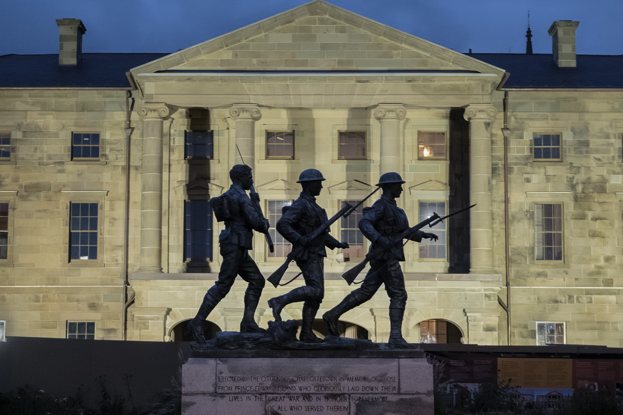


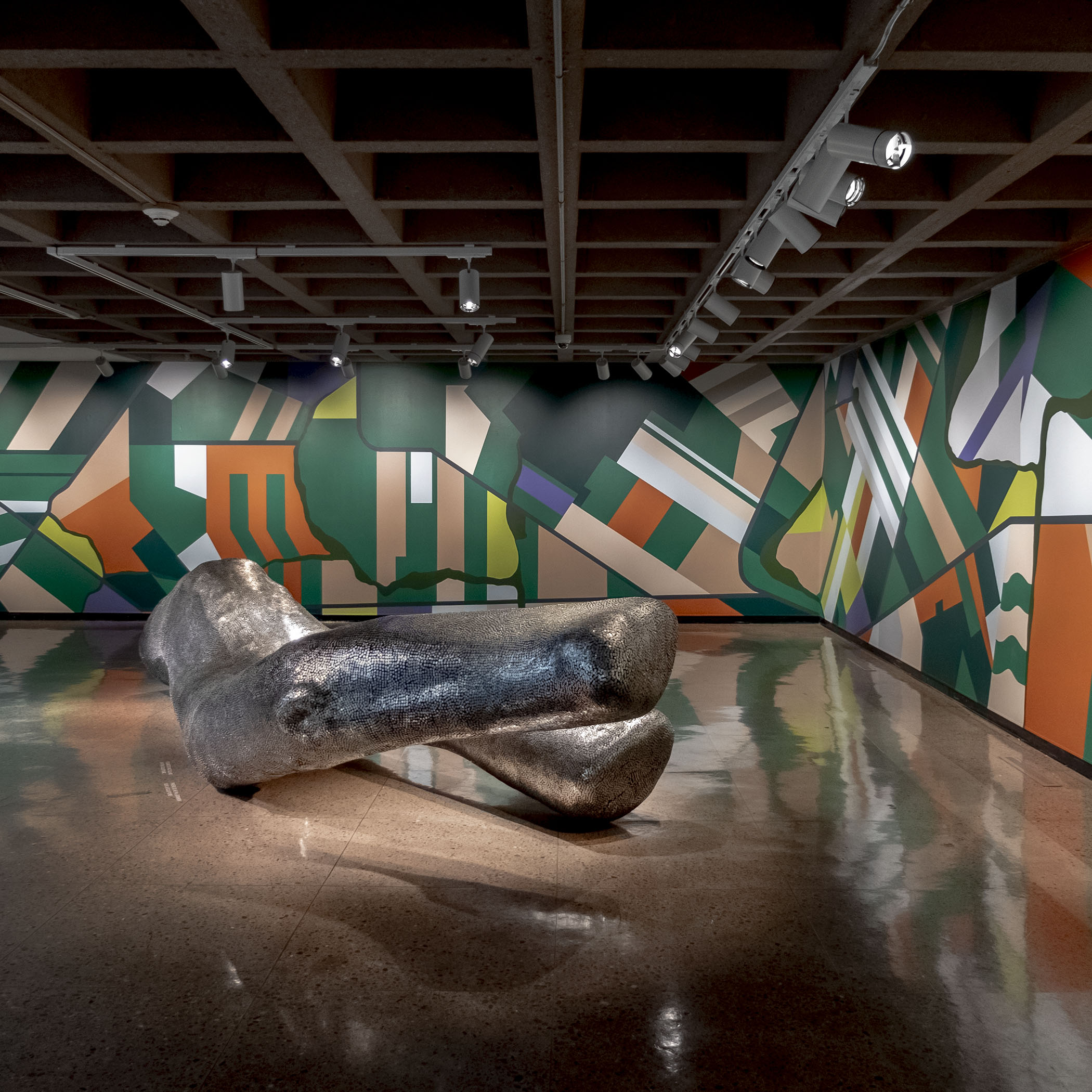


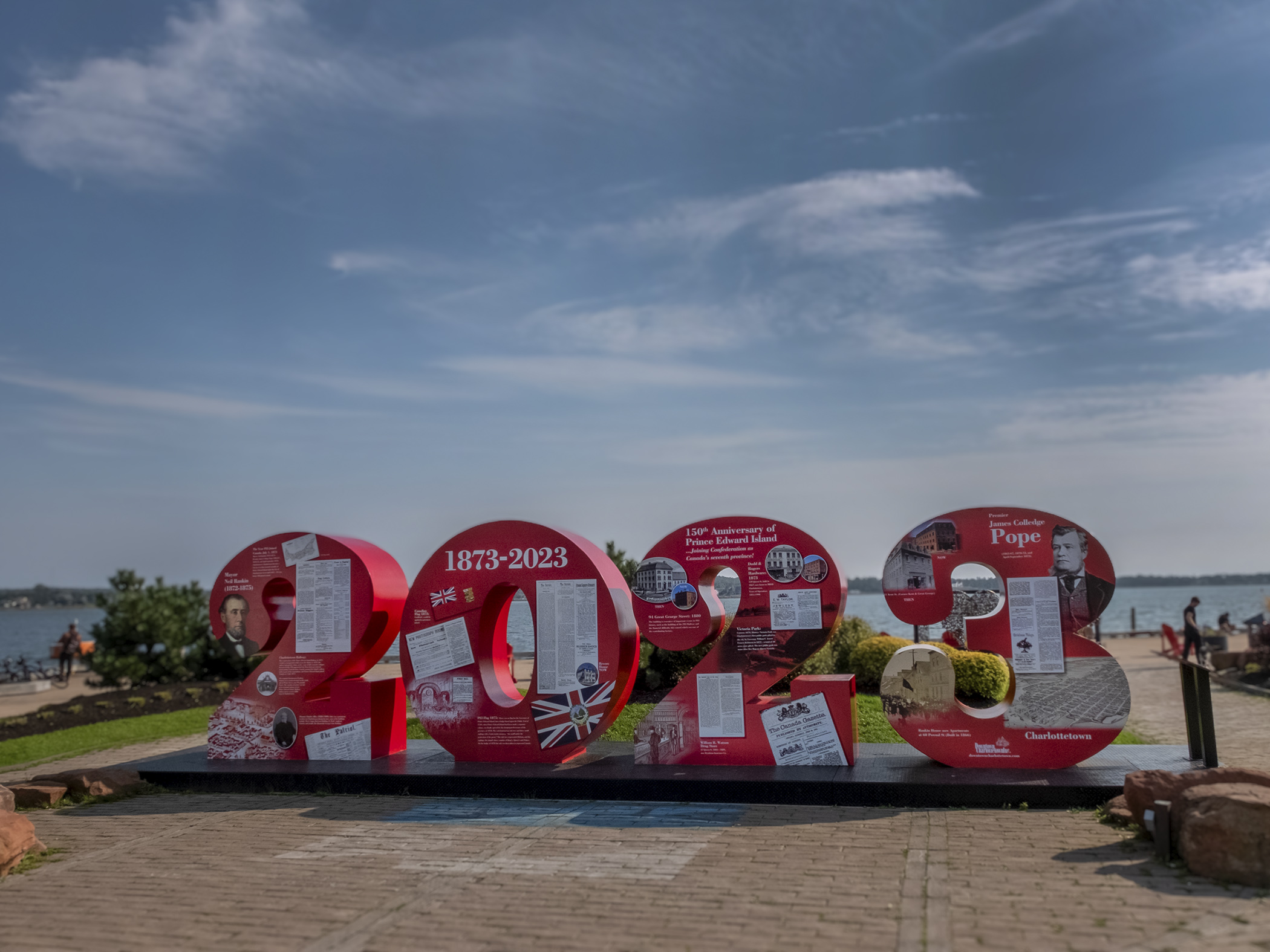
Thankfully the historic chamber where the conference was held has been recreated in a room at the adjacent Confederation Centre of the Arts, which also houses the provincial art gallery. The irony of the Charlottetown Conference was that the province decided not to join in Confederation when it was signed three years later, and PEI wouldn’t become part of Canada until 1873. All of this history, and vivid descriptions of the men who attended the conference, was explained to me by helpful guides like Elijah Wilcott, whose passion for the era and its political intrigues was palpable and impressive.

Victoria Row, a stretch of shops and restaurants on Richmond Street between Queen and Great George, is the centre of city nightlife for both locals and tourists – host to events like the street festival I caught one weekend night just as tourist season was ending. Bracketed on one end by St. Dunstan’s and Province House, it’s a helpful landmark and meeting place for visitors, with most of Charlottetown’s eateries and hot spots located on streets just a short walk away, or by the marina at Peake’s Wharf.

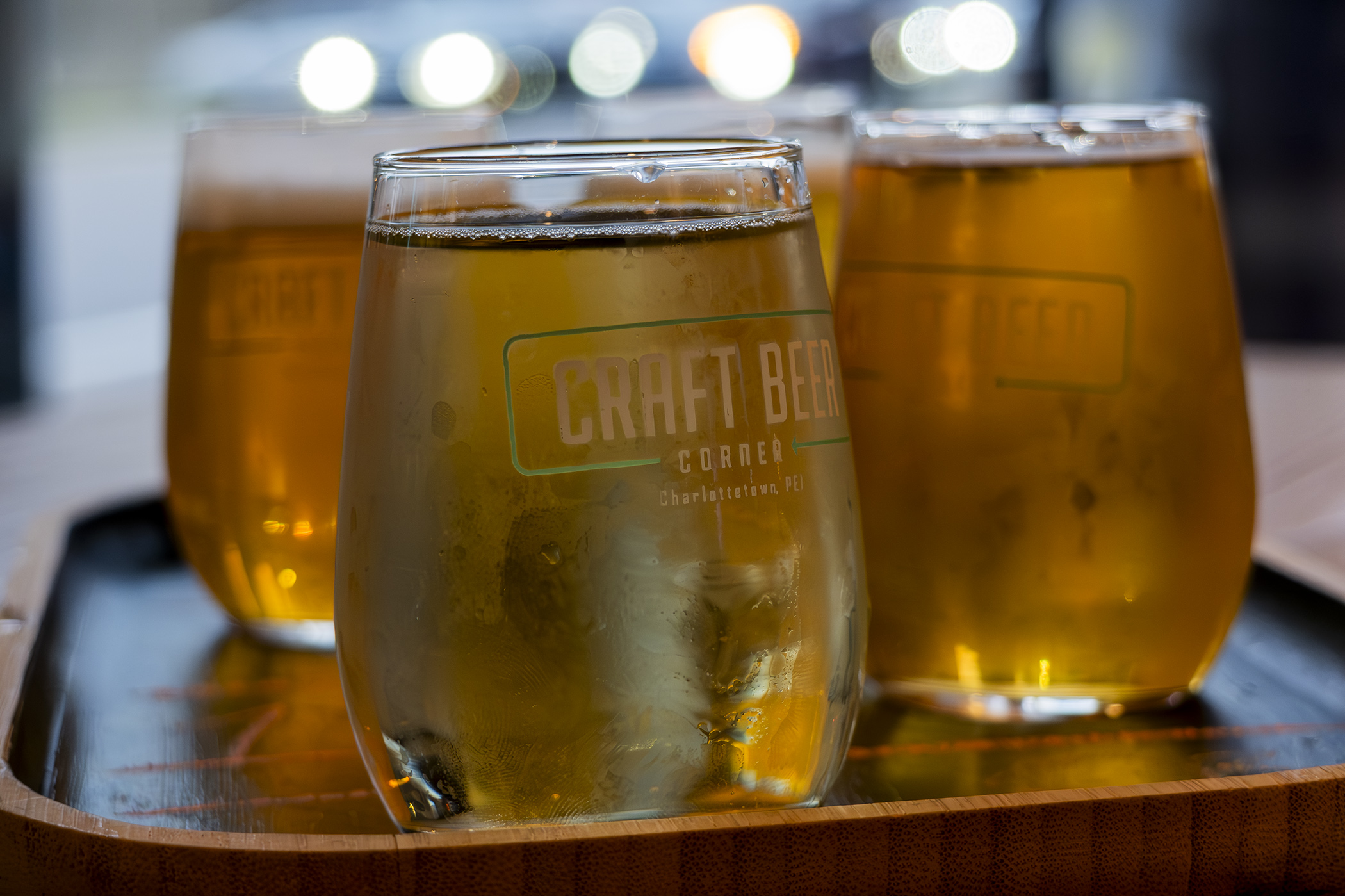
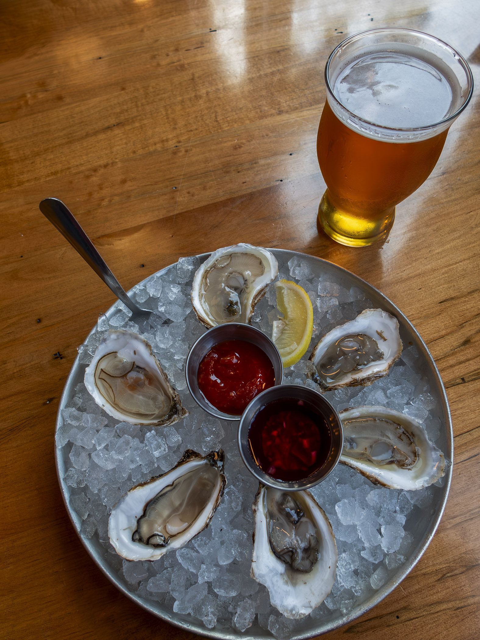


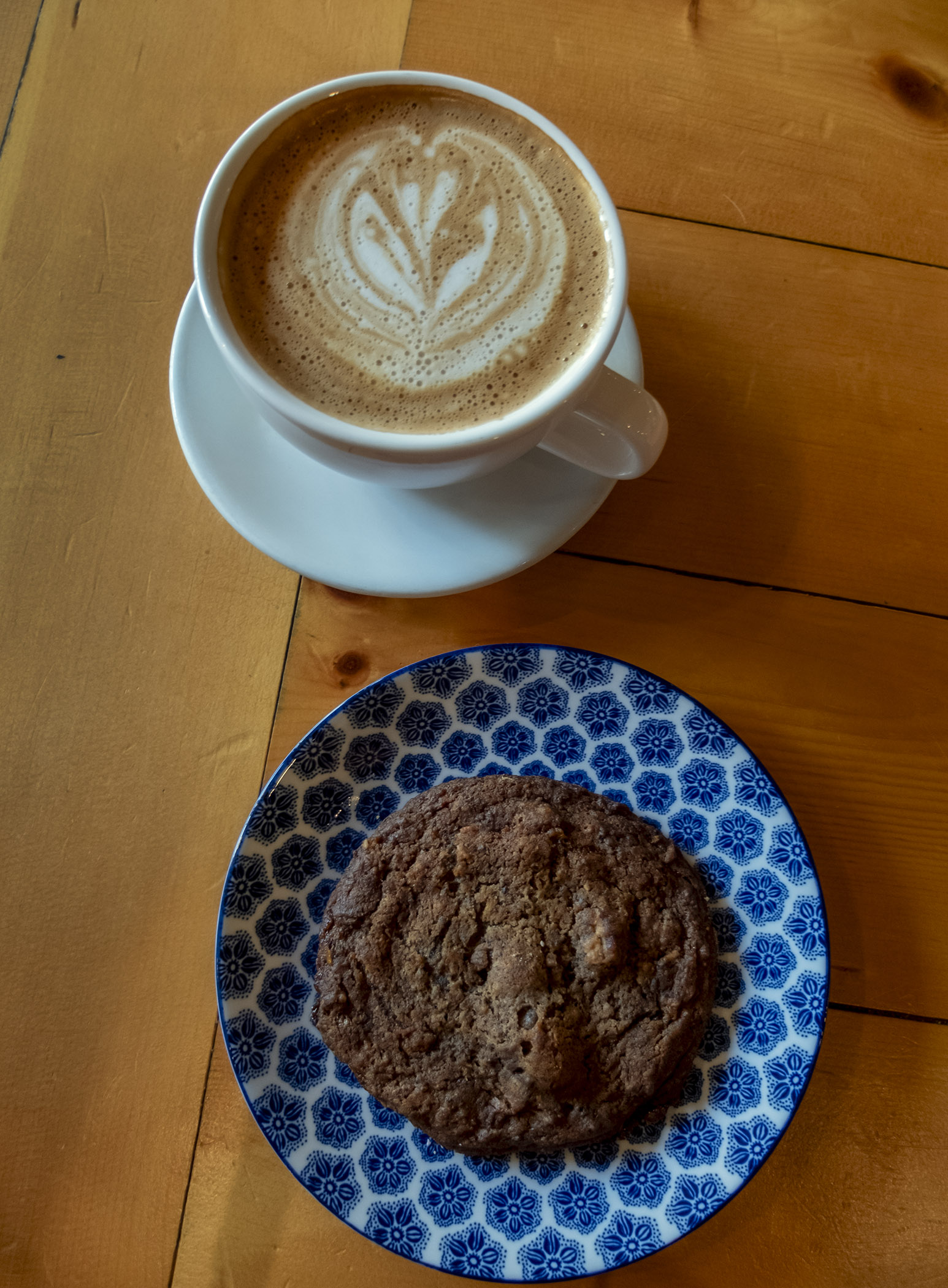
Charlottetown is also a great place to eat and drink. I had to begin with a lobster roll at Water Prince Corner Shop by the cruise ship terminal, and revived myself during a long day of walking and shooting with coffee at Receiver on Victoria Row, part of a chain of indie coffee shops. Dinner was fresh PEI oysters at Sea Rocket Oyster House, and a flight at Craft Beer Corner, which showcases the island’s thriving craft brew scene. And I had to try a cone from COWS, the city’s handmade ice cream chain, which is as good as they say.
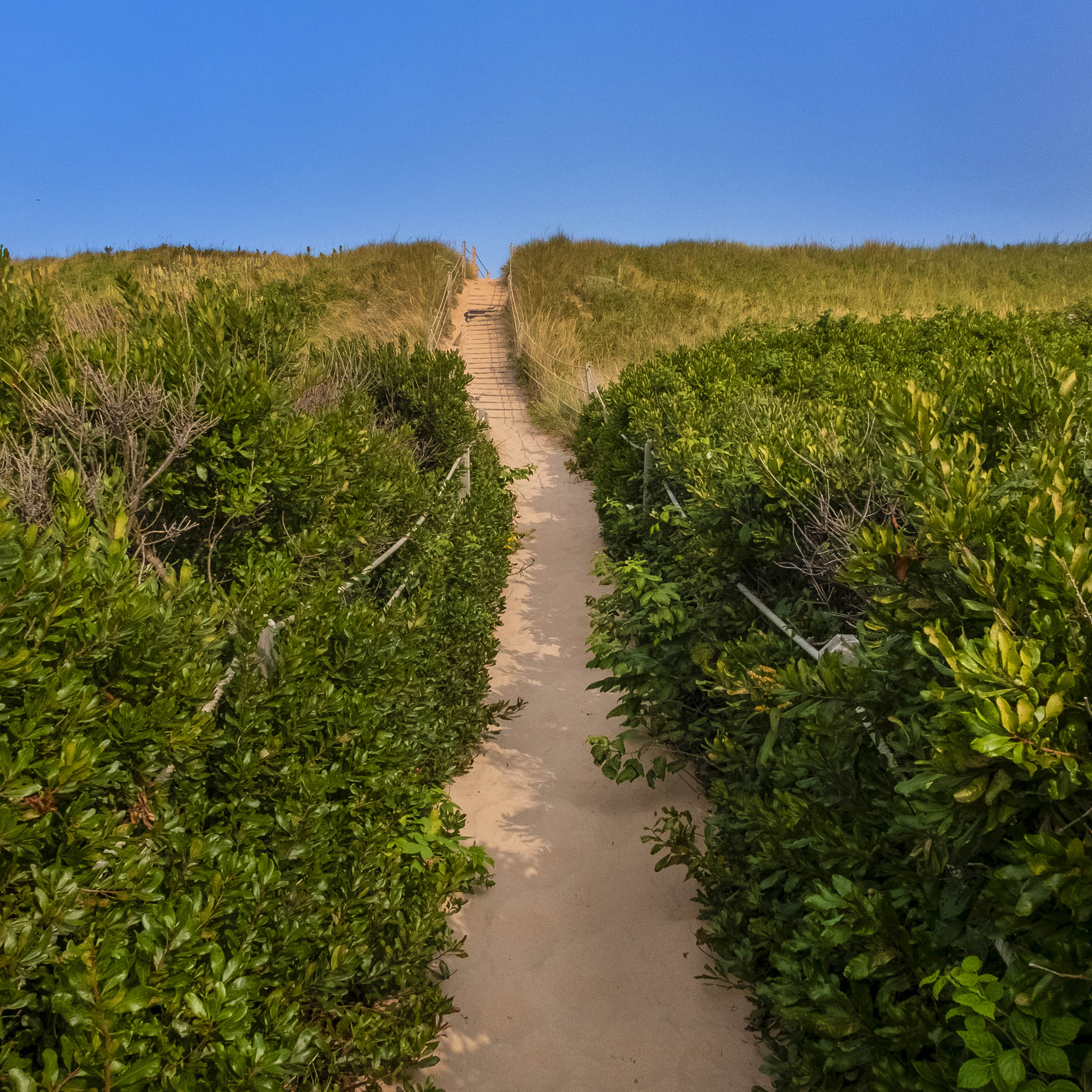
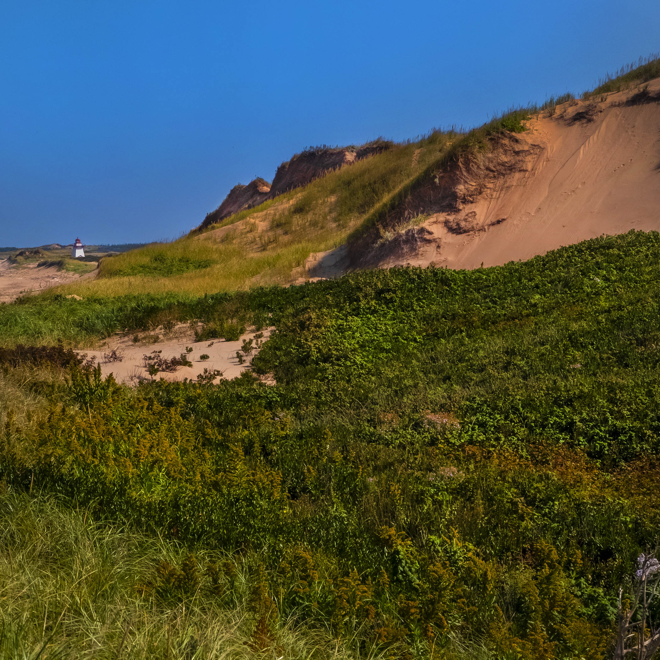
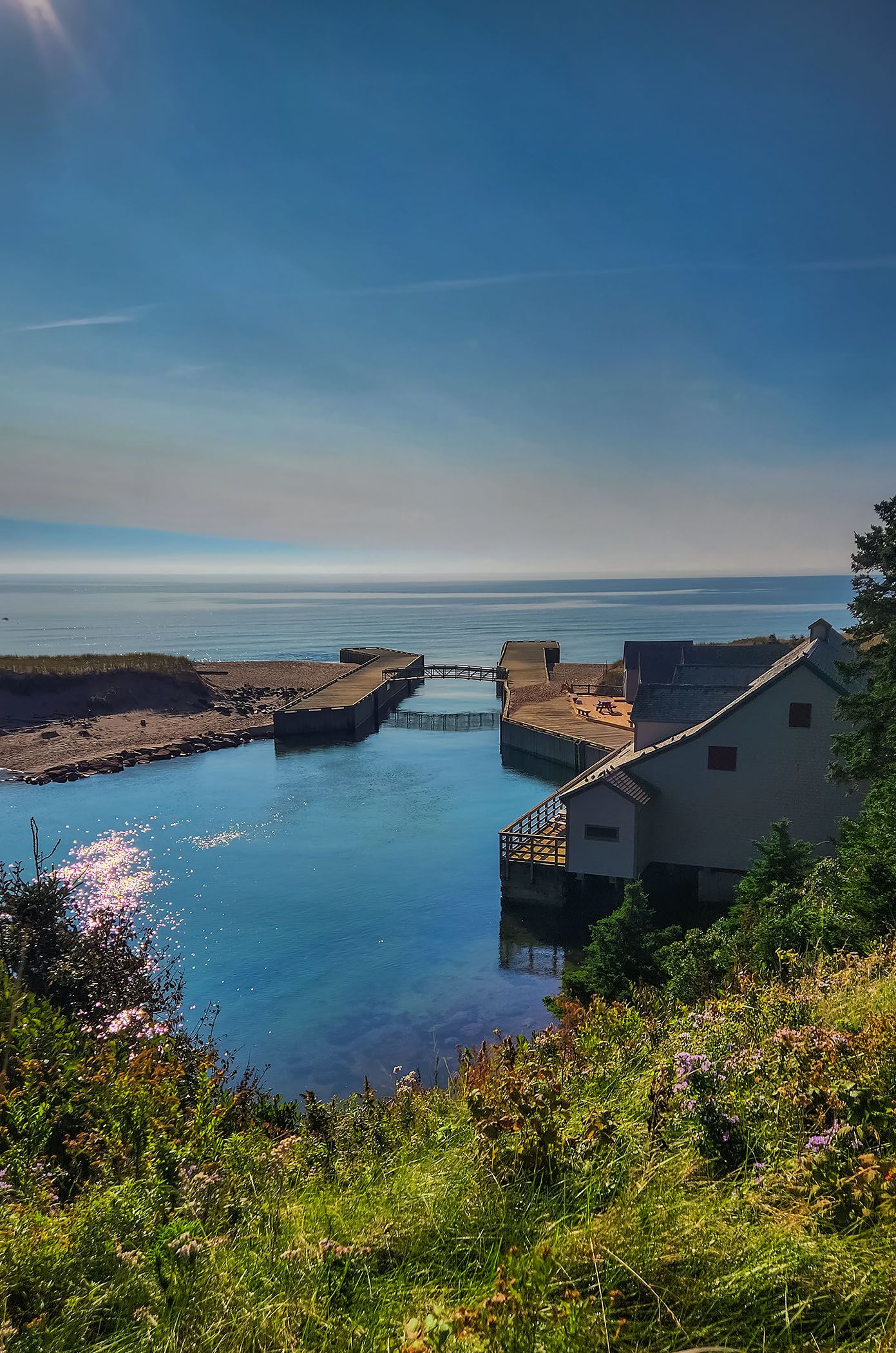
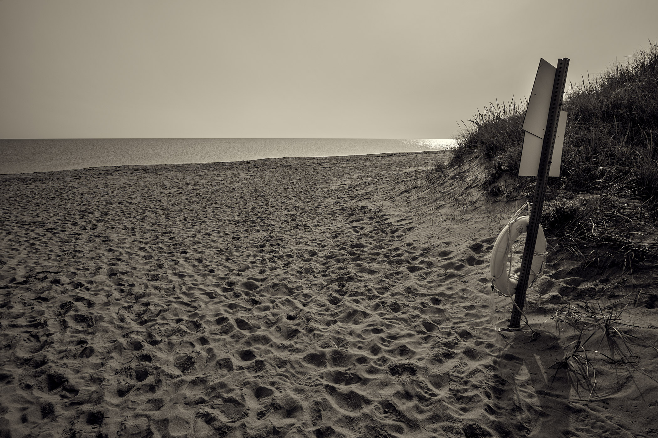
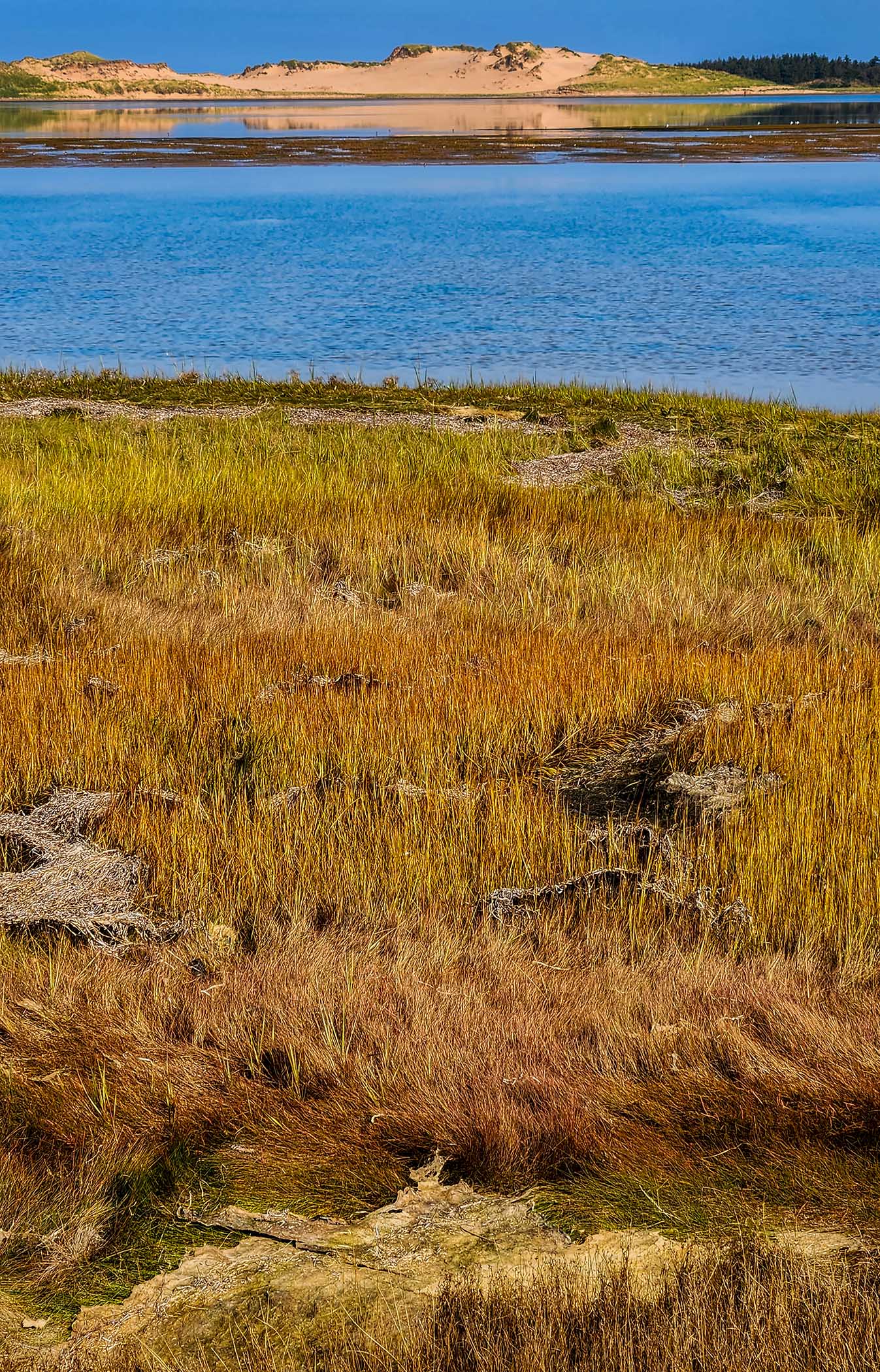
Greenwich Dunes National Park is on the north shore of the island, near the start of the Points East Coastal Drive. PEI is basically a massive sandbar, created by the flow of water from the Gulf of St. Lawrence over millennia, and places like Greenwich provide striking evidence of this geological history. The province’s largest sand dunes are here – an epic but fragile ecosystem that’s carefully managed to avoid damage from visitors.

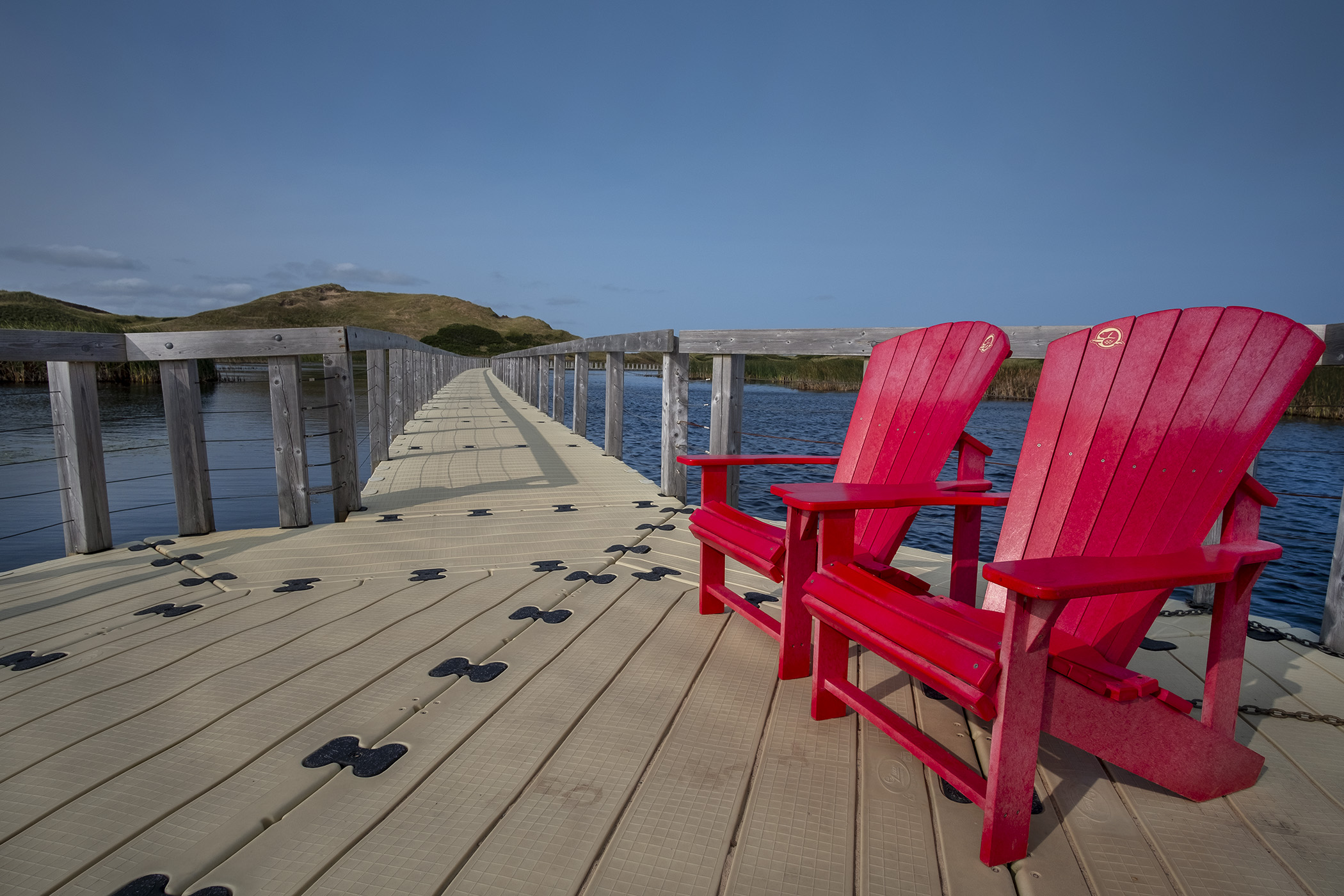
The showpiece of the park is a massive arc of parabolic sand dunes edged by long stretches of sandy beach. The most visually striking parts are the raised walkways and floating boardwalk that connect the dunes to the hiking trail into the park, traversing the extensive marshes behind the dunes. There’s an interpretive centre near the entrance to the park, and swimming on the beach is supervised in the summer.

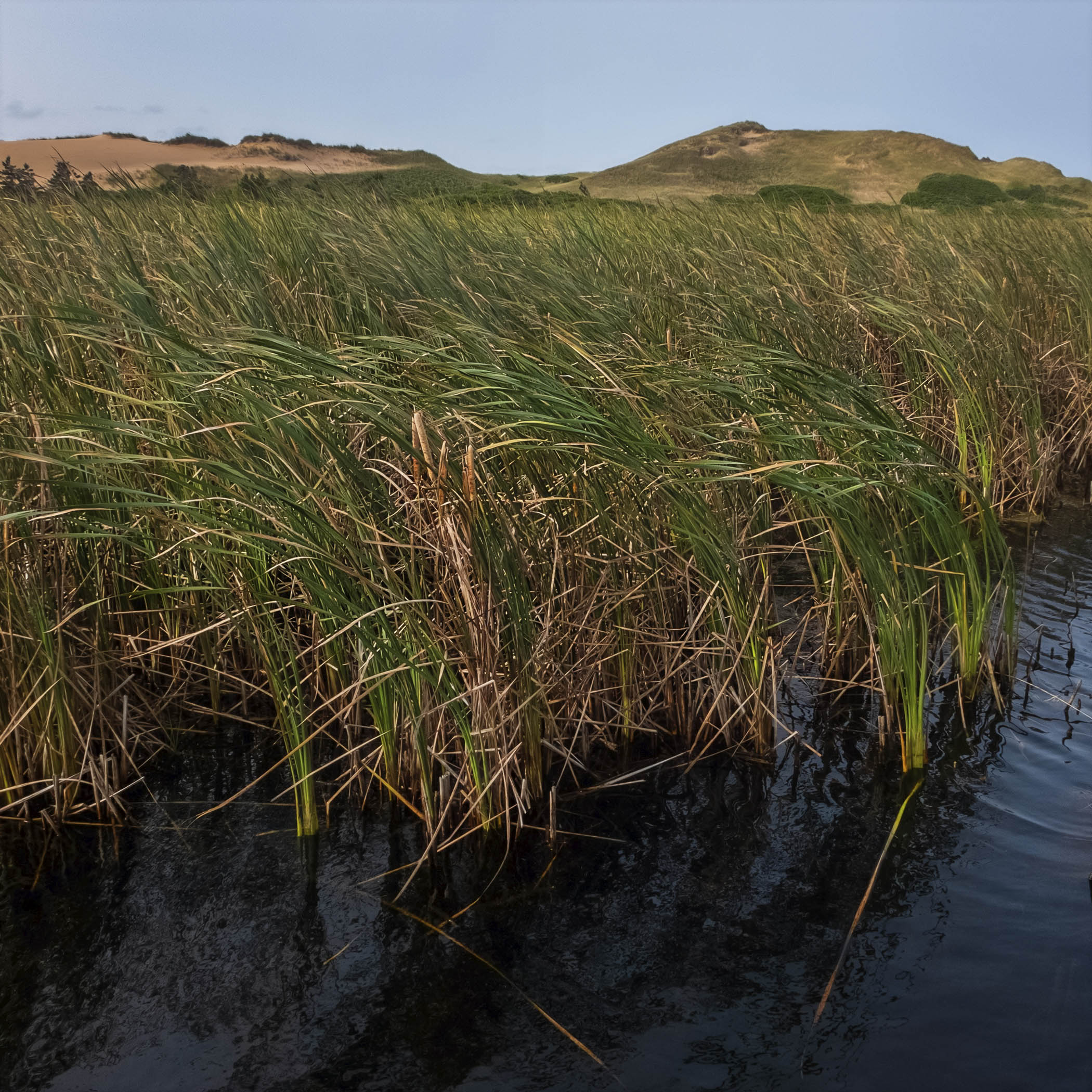


There are several hiking trails at Greenwich ranging from just over one to nearly five kilometers, but the highlight is the floating boardwalk over Bowley Pond on the way to the beach. It’s hugely Instagrammable, with no shortage of spots to take striking panoramas of the boardwalk, over the sea of reeds back to the forest behind you or to the dunes ahead.

The sand dunes continue along the north shore of the island across the mouth of Saint Peters Bay from Greenwich. There’s a golf course, resorts and wellness centres and places to rent horses for riding as well as seasonal beach cottages behind the wall of sand dunes at the edge of the beach. It goes without saying that this landscape is frequently transformed by storms and wind, and that it never looks the same no matter how many times you visit.
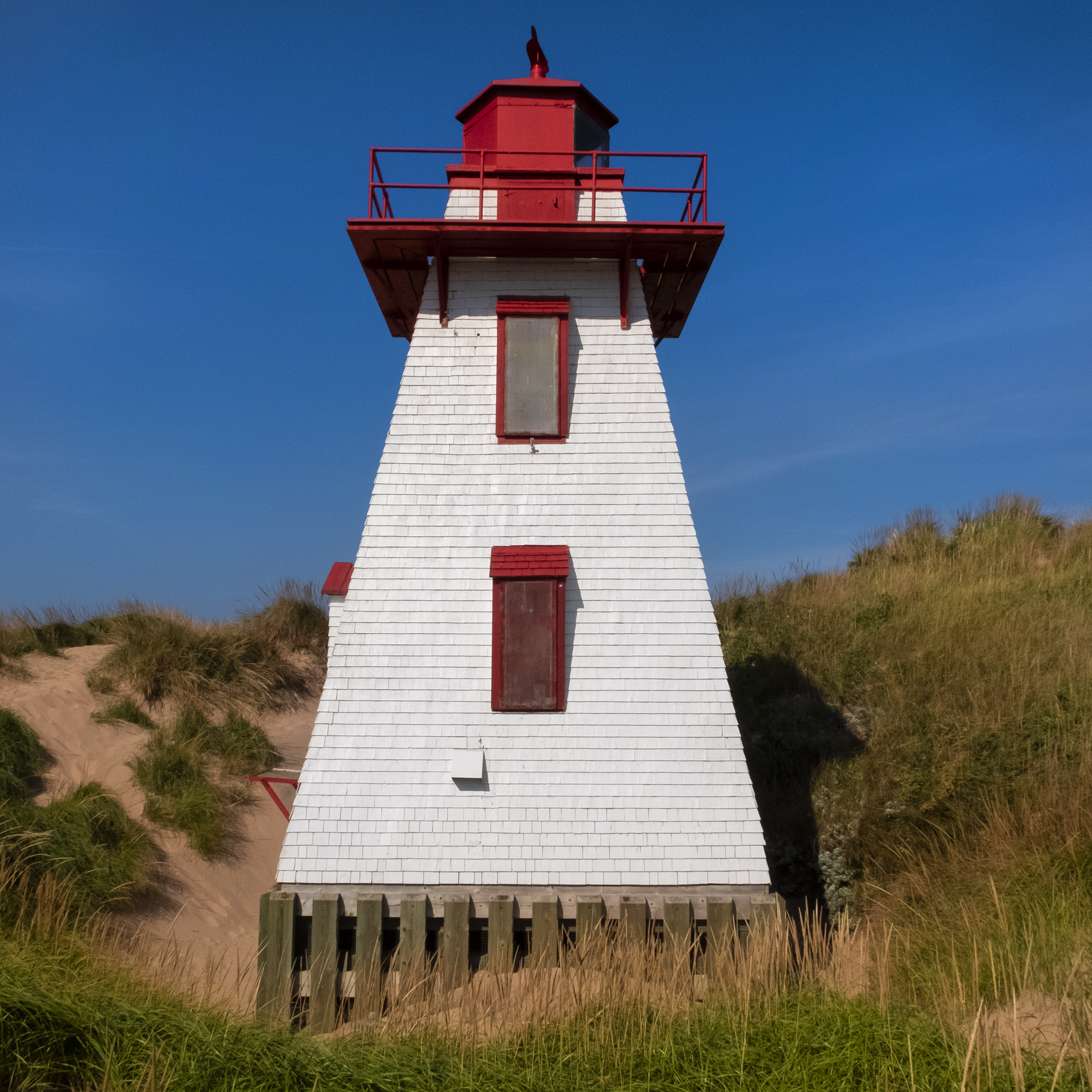
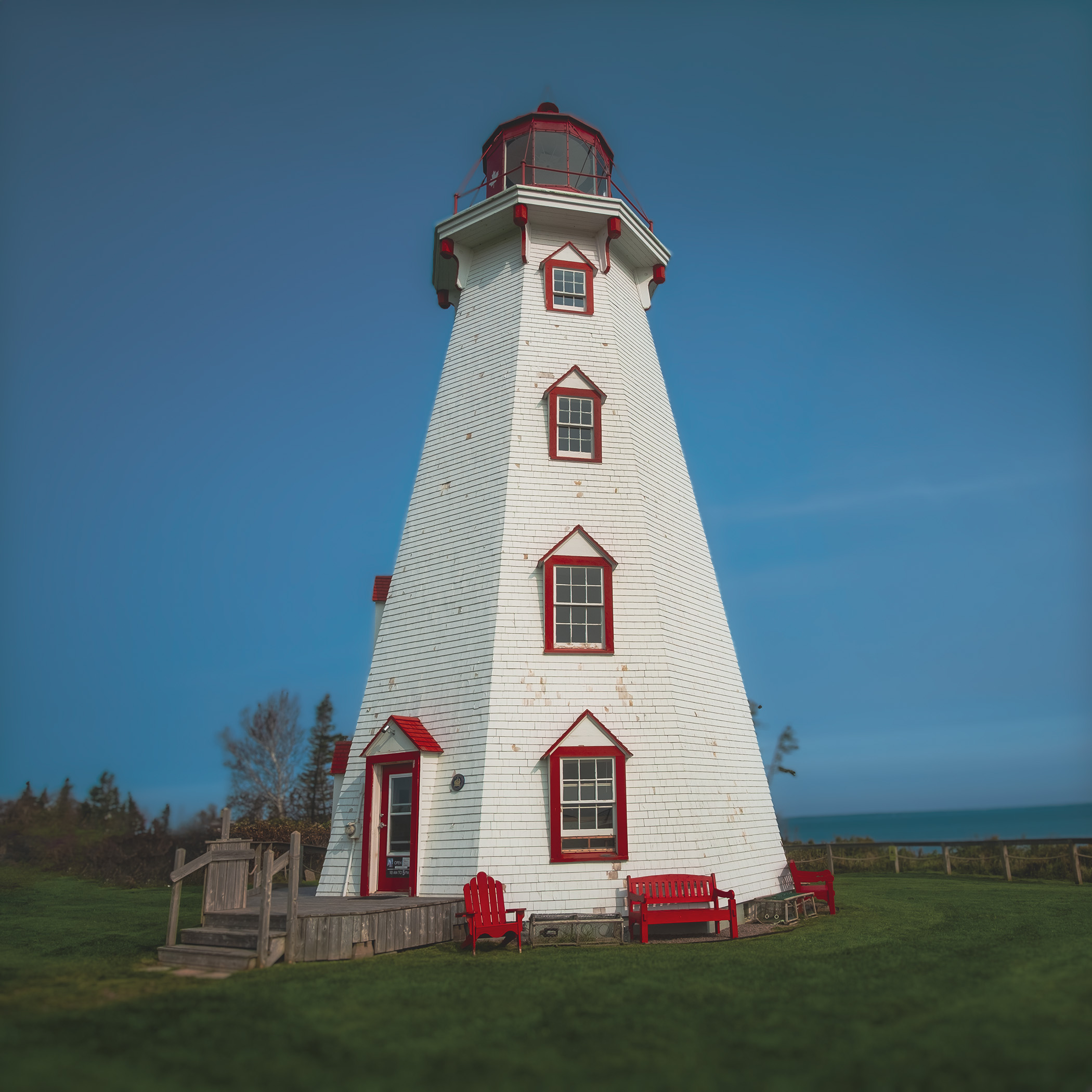
The Harbour Lighthouse at Saint Peters was built in 1878 and has been moved several times. It’s a solid, classic maritime lighthouse settled in a picturesque location among the dunes, and there has been a light here since before Confederation. Further down the bay is the fishing village of Morell, named after the first French settler who came to the area in 1720 from Saint-Malo, and as photogenic a port as you could ask for on the shore.


Basin Head Provincial Park is a day park on the other side of the island’s eastern tip with a very popular beach and a narrow channel crossed by a bridge where the tide can rush in and out at often dangerous speed. The park’s sandy beach has been nicknamed the “Singing Sands” thanks to the peculiarly high silica content in the sand, which makes a high squeaking sound when you walk across it on hot, sunny days. The water in the tidal lagoon is remarkably clear, and you can watch mackerel feeding there among schools of silversides.
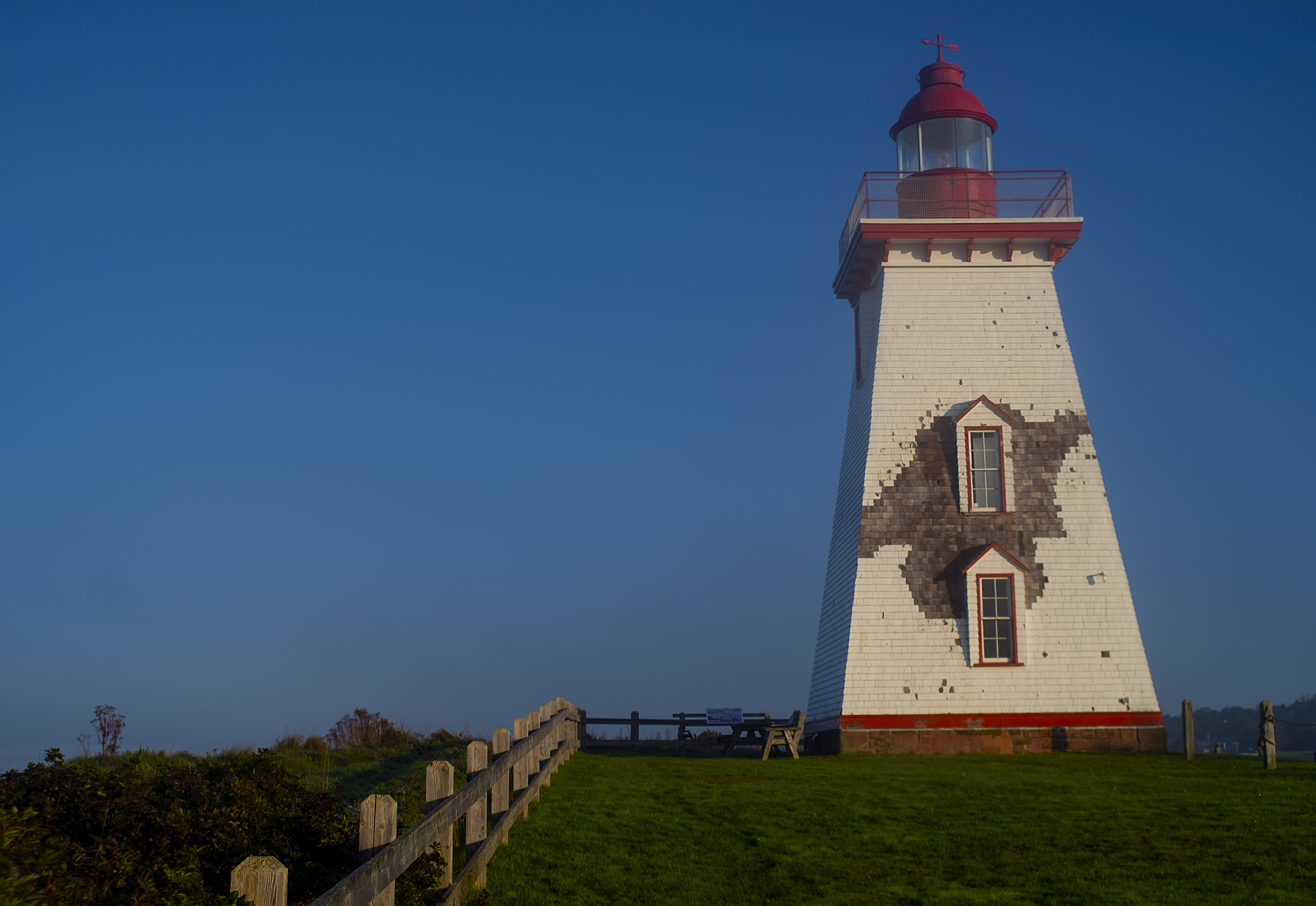
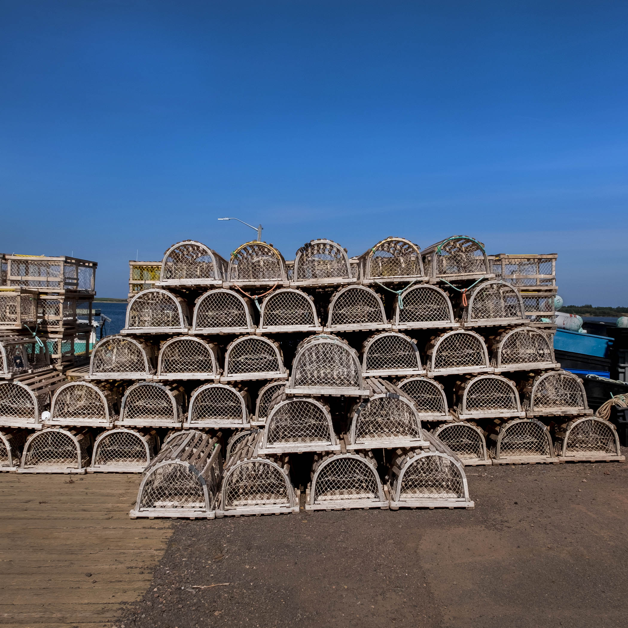
Souris is another port town, further south down the coast, with both fishing fleets and a marina for pleasure boats, and a terminal for the ferry to Quebec’s Magdalene Islands. The town’s name came from the plagues of mice experienced by early French settlers (though it might also have come from a Basque word or the Mi’kmaw tribes on the island), and boasts another historic lighthouse on Knight Point overlooking the harbour, built in 1880 and open, like the nearby interpretive centre, to visitors.

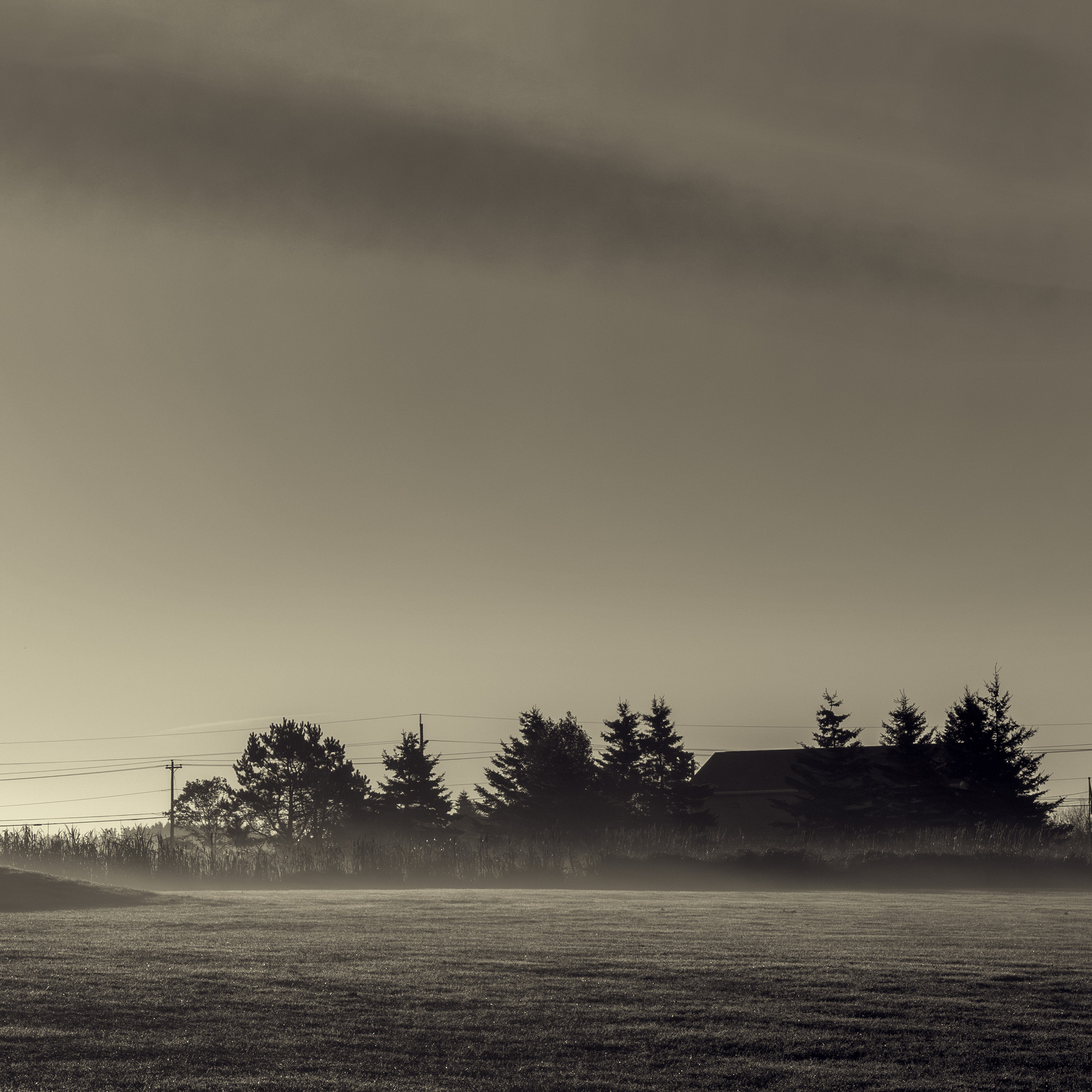
We drove to Souris when the fog and sun fought each other for most of the morning. One of the particular gifts of shooting on the coast of an island like PEI is the changing light, and the weather conditions that give you regular gifts of mist and fog. They’re a good reason to get up with your cameras at the break of the day.

Further down the shore, near the southeastern tip of PEI, is Panmure Island and its historic lighthouse. The long spit of land with the road connecting the island to the mainland is a provincial park, with beaches, campgrounds, a restaurant and a beach house with showers and washrooms open in the summer.


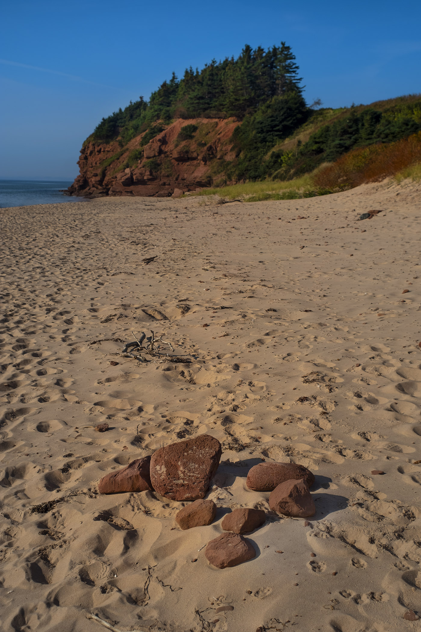
The beaches here, like on most of the island, are long stretches of sand coloured red by iron oxide from the province’s sandstone bedrock, which is found everywhere from farm fields to the beaches. You can see Panmure’s historic lighthouse at the far end of the sands, a still-active light with a seasonal gift shop and a picnic area with fantastic views.

The Confederation Trail runs over most of what used to be the Prince Edward Island Railway. Building that railway was one reason why the province briefly entertained joining the United States before the new Dominion of Canada agreed to help finance its construction. Construction began in 1871, was completed by the mid-1880s, and closed on the last day of 1989, with the last rails torn up by 1992.


The province bought the railway properties in 1994 with the encouragement of local advocacy groups, and completed the Confederation Trail in 2000. The trail comprises a total of 470 kilometers, over level graded railpaths along a main trail that travels the length of the island with several branch trails ending in what were once railway terminus stations.

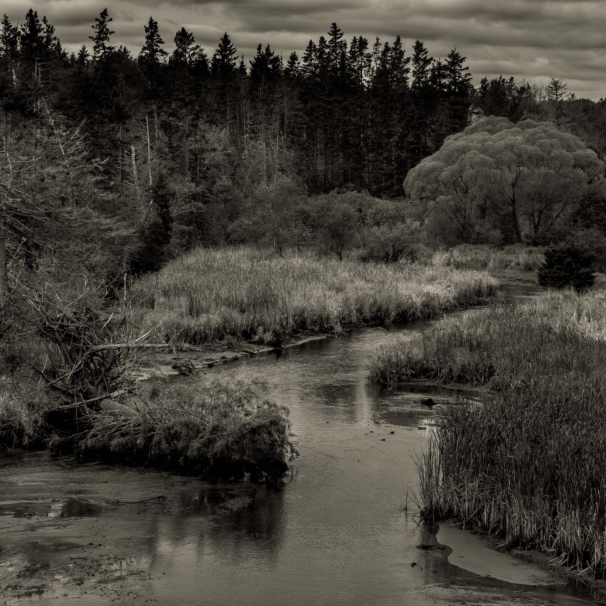
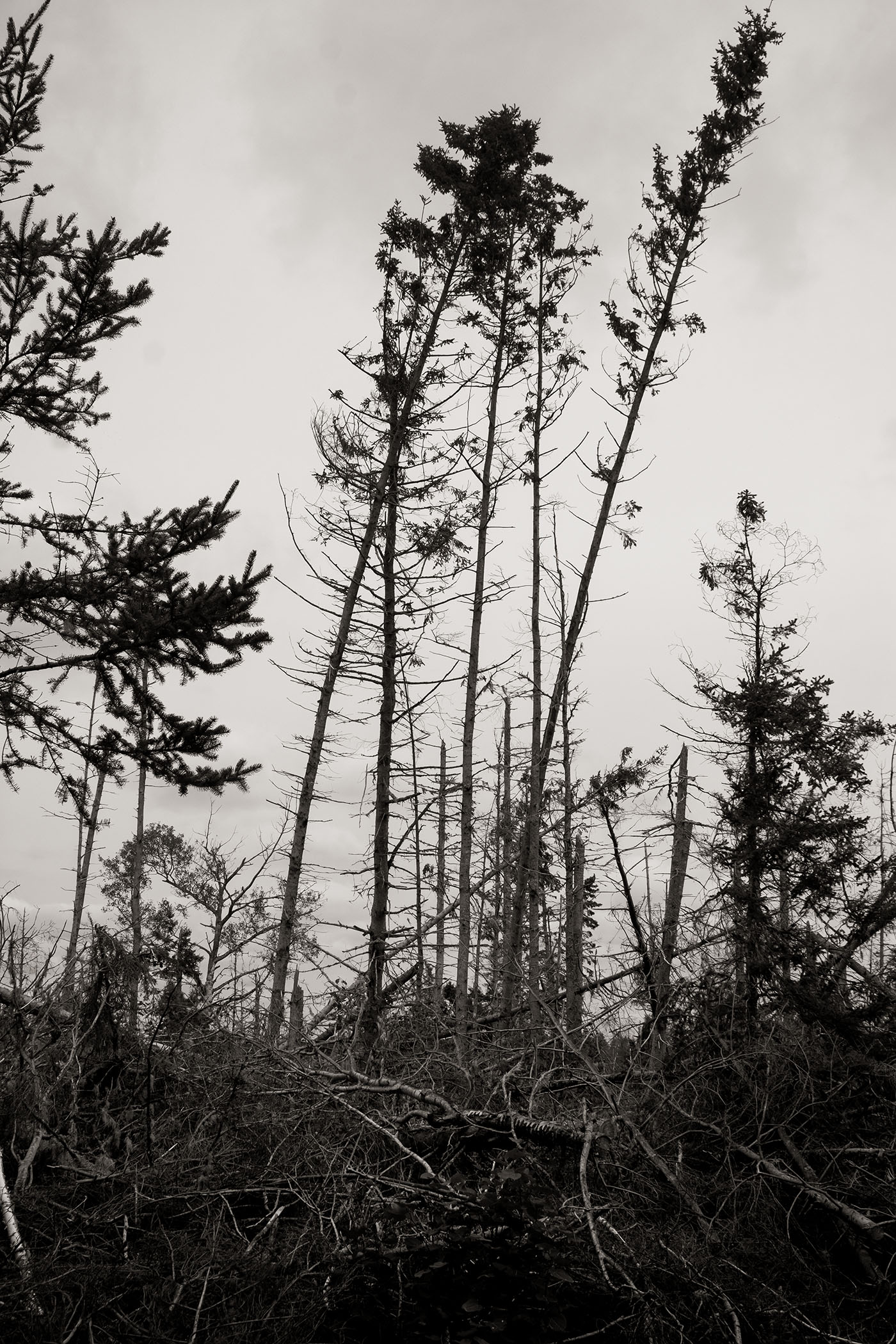
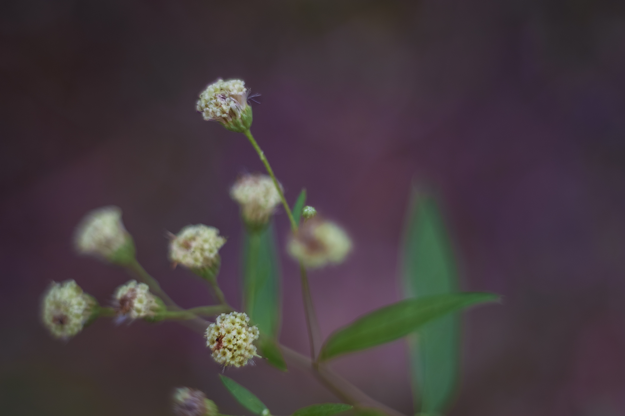
I took the branch trail from Cardigan Junction to Montague, a 10km hike whose most dramatic view is the one over the Brudenell River across the old railway bridge. While there’s still visible damage left from Hurricane Fiona in 2022, the trail has been repaired and the forest on either side has begun to grow back, with early autumn flowers like Devil’s Paintbrush and asters and Wooly Bear caterpillars (larva of the Isabella Tiger moth) seen everywhere during my hike. It’s a popular and well-used trail, with spontaneous artwork created by walkers and a little free library along the route, created in memory of a local writer who frequented the trail.


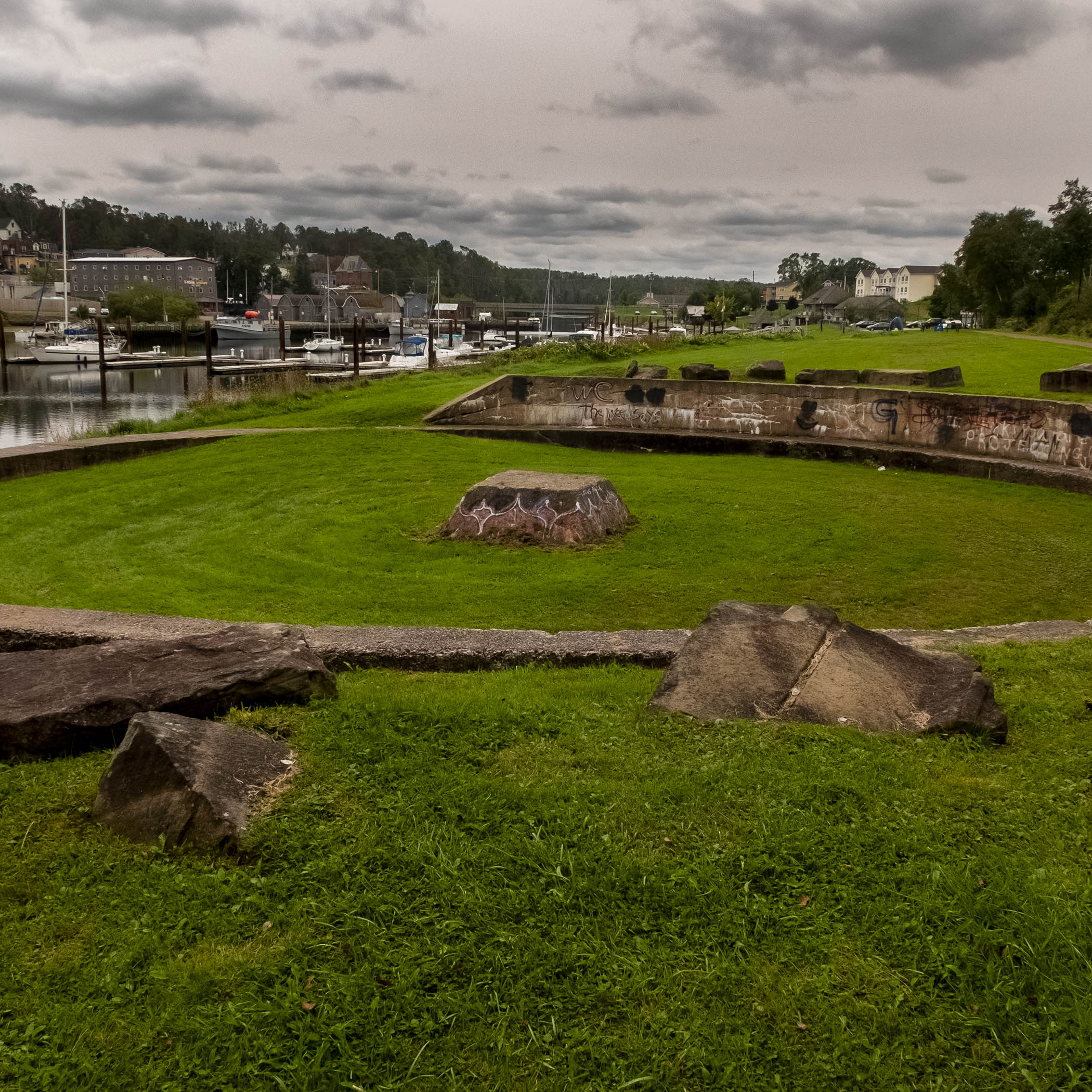
The branch trail ends in Montague, a port town by the remains of the railway turntable that turned the engine around to begin its journey back to the main line. The town is named after the southernmost of the three rivers that drain into Cardigan Bay. It’s an active fishing village with a marina and the Garden of the Gulf museum, the oldest in the province, located in the town’s former post office. It’s also the home of Maritime Madness, a hot sauce company that uses locally-grown peppers in its products, and two craft breweries on either side of the harbour – Copper Bottom and Bogside. Conveniently located near the end of the Confederation Trail, Bogside is where I reward myself with a flight of beer and some french fries after my hike.


For most of my stay in PEI my home base is in Lower Montague, just outside the town on the road to St. Andrews Point. Once home mostly to farmers and fishermen, this long stretch of the Montague River shore is full of views that have brought in development, with new homes – some quite large – being built on the edge of the red sand beaches that slope into the shallow water.
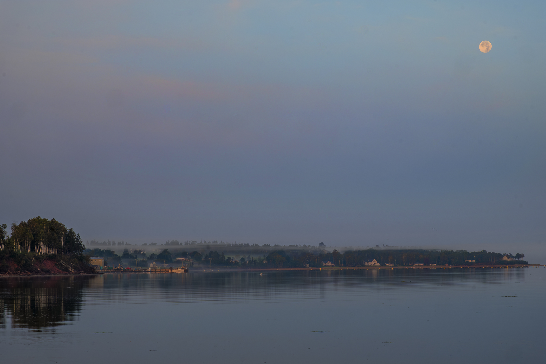
On another morning when the mist is still hugging the shoreline I head out with my cameras at sunrise to capture views up and down the river. To the west the moon still hangs low in the sky over the nearby wharf and the road back to Montague; the the east the sun is just rising over Georgetown and Burnt Point. Walks along the beach produce plenty of landscapes and seascapes and macro photos of the beachgrass and flowers.


There’s a lighthouse, of course – the Georgetown Range Rear Lighthouse, built in 1883 as a light on a mast and replaced with the current one in 1891 and withdrawn from service in 2017. It sits on private land and is unavailable for visits. A hike down Lower Montague Road as it turns into St. Andrews Point Road passes two cemeteries: Lower Montague Cemetery, established in 1856, and St. Andrews Point Pioneer Cemetery, right at the end of the point, across Cardigan Bay from Panmure Island. Graves are hidden among the trees with only a few still standing, including that of John Aitken (d. 1799), for whom St. Andrews Point was once named.


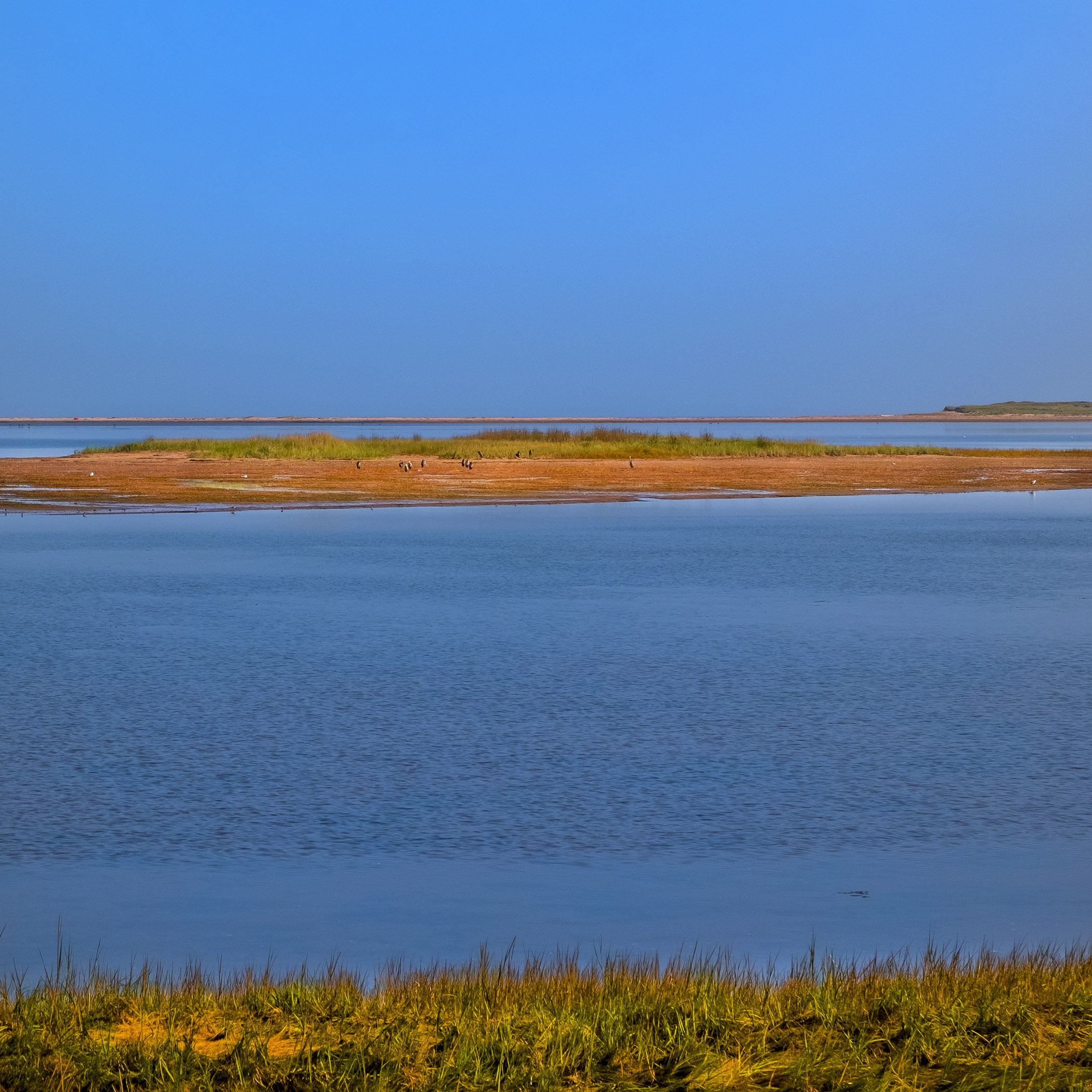
On our way back to Charlottetown we visit Grand Tracadie, with its long sandy spits, tidal flats and salt marshes, full of sea birds. It’s been a tourist hot spot for over a century, with restaurants, hotels and cottage rentals and growing communities of summer and year-round homes for visitors who began moving to the island even before pandemic lockdowns. It’s one of the places where change on the island is most visible, as PEI is showing that it’s more than Anne of Green Gables.


(To go behind the scenes on this trip click on the link here.)
Photos and story © 2023 Rick McGinnis All Rights Reserved

[…] trips all over the eastern shore of the island, so that became the focus of the post I put up on my travel photography blog this […]
LikeLike
[…] to it. It is not as easy to use as Rick McGinnis — who introduced me to the lens — makes it look. The darn thing left me feeling like a five year old with a No. 2 Brownie for a few moments when I […]
LikeLike