
THE BEST WAY TO ENJOY THE FALL COLOURS IS TO GET SOME ALTITUDE. Easy enough if you live in the mountains, or own a plane, but for those of us living in the alluvial plain that is Southern Ontario, that means finding the high points. For most of this part of the province, that’s the Niagara Escarpment, and places like Rattlesnake Point Conservation Area, just outside Milton and west of Oakville.
Our way there, like every trip to enjoy the fall colours, in places like Elora or Algonquin Park or Tobermory, was Parkbus, whose schedule is finally getting back to normal again after two years of lockdowns. We took the bus to Rattlesnake Point on Canadian Thanksgiving weekend, on a day that turned out to be as perfect as you could want, with the sun politely coming out from behind the clouds only often enough to provide variety in lighting for our photographs.
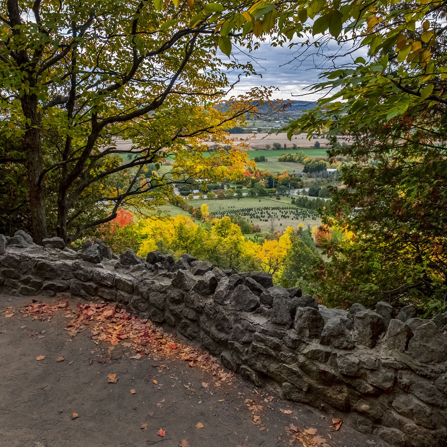
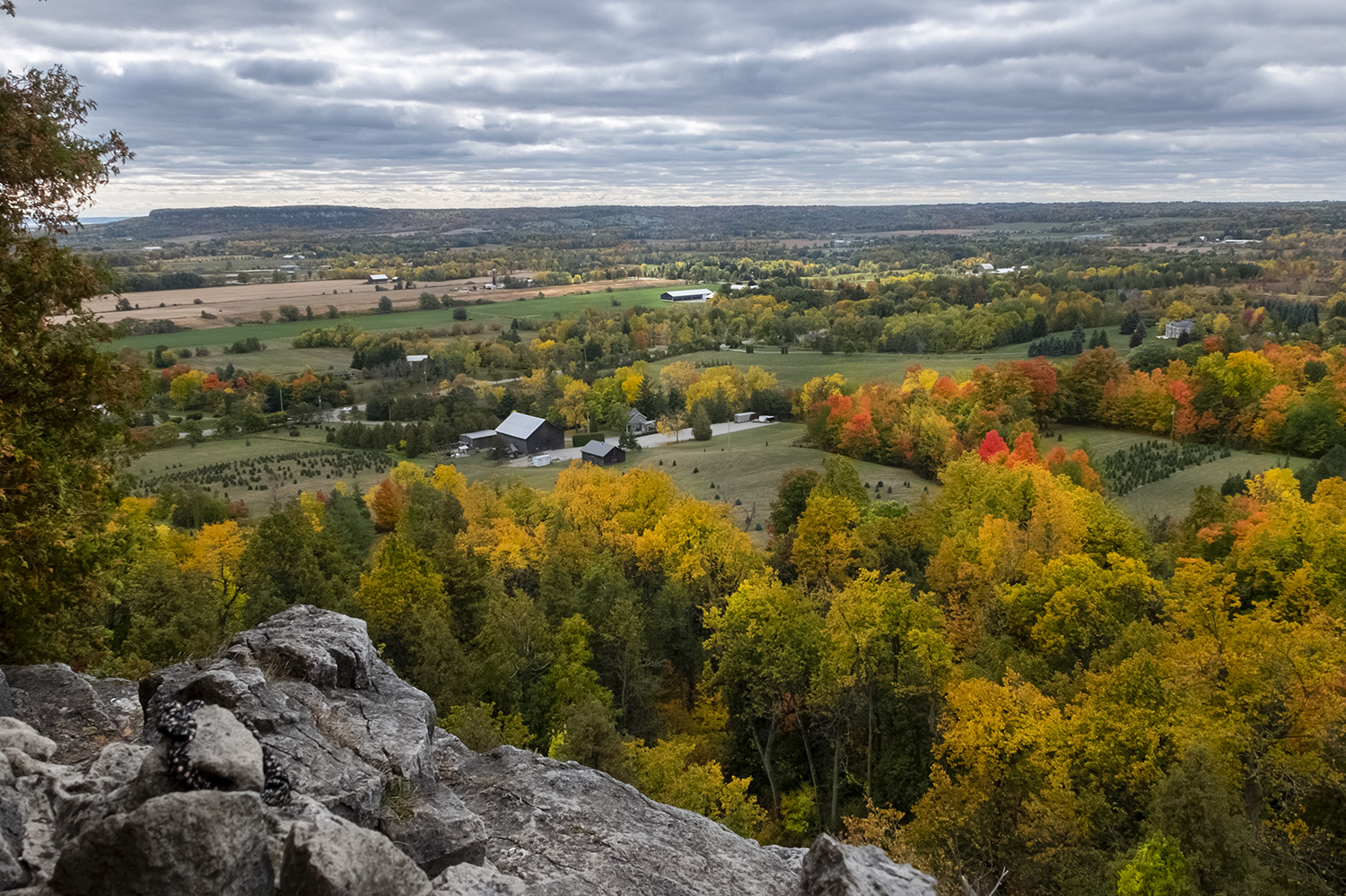
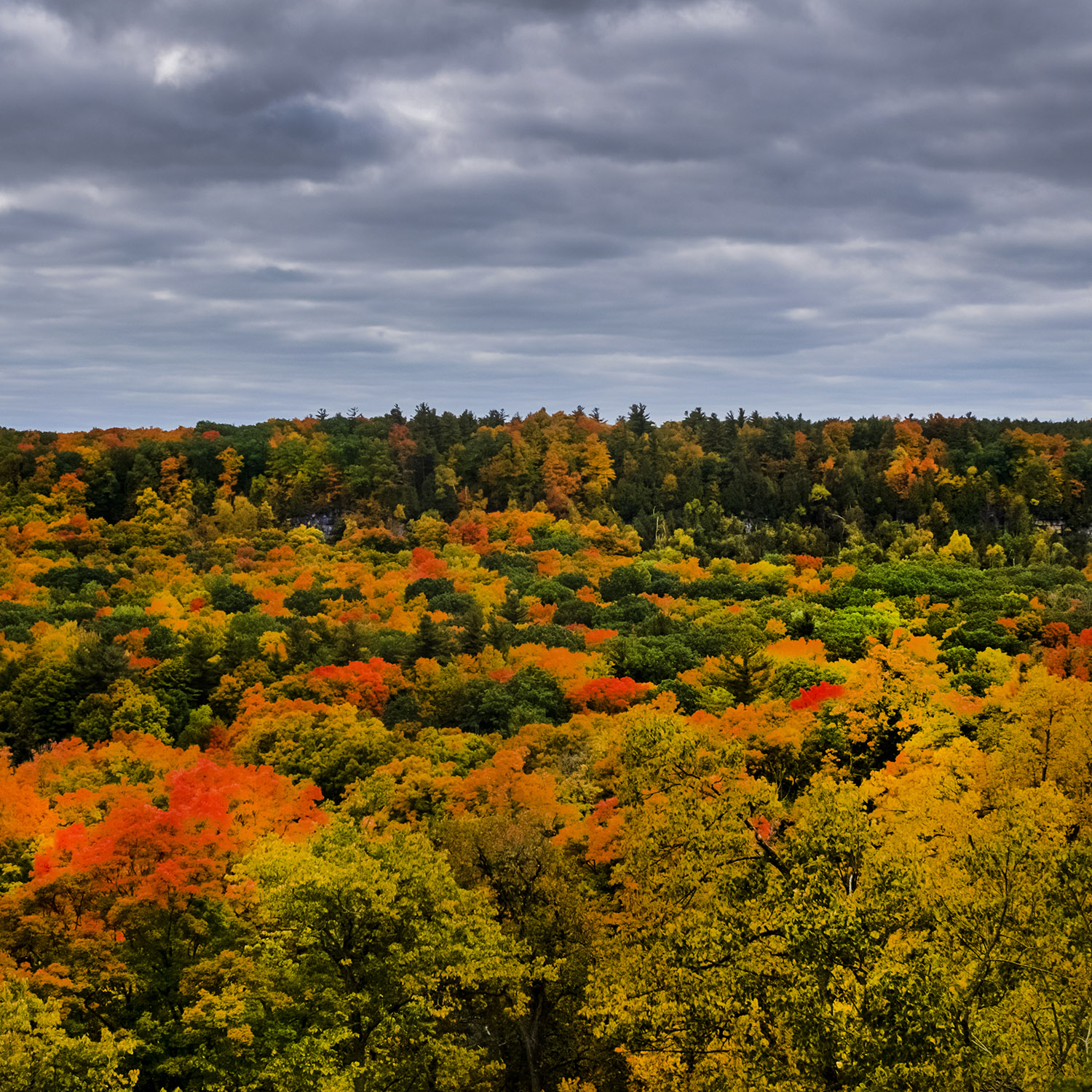
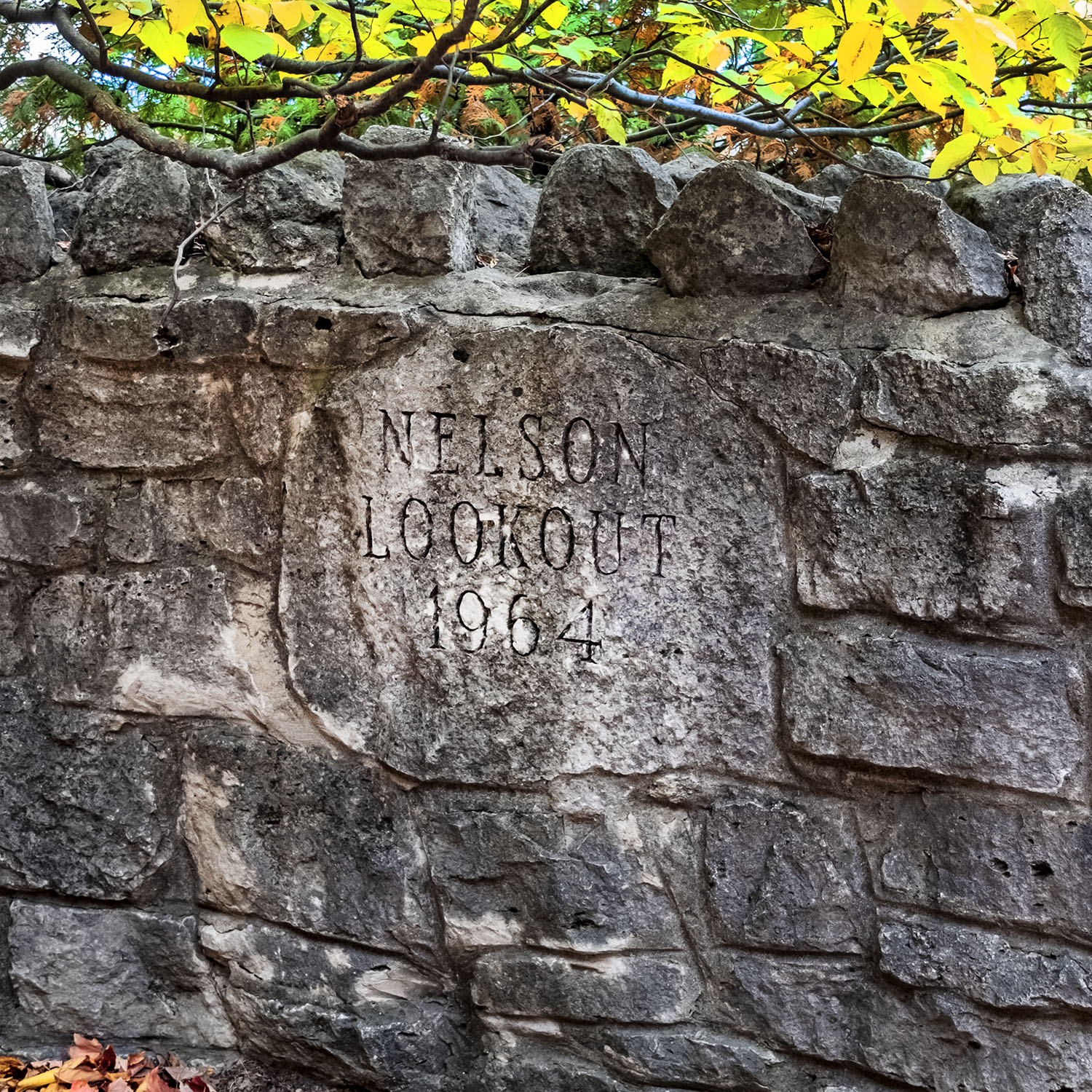
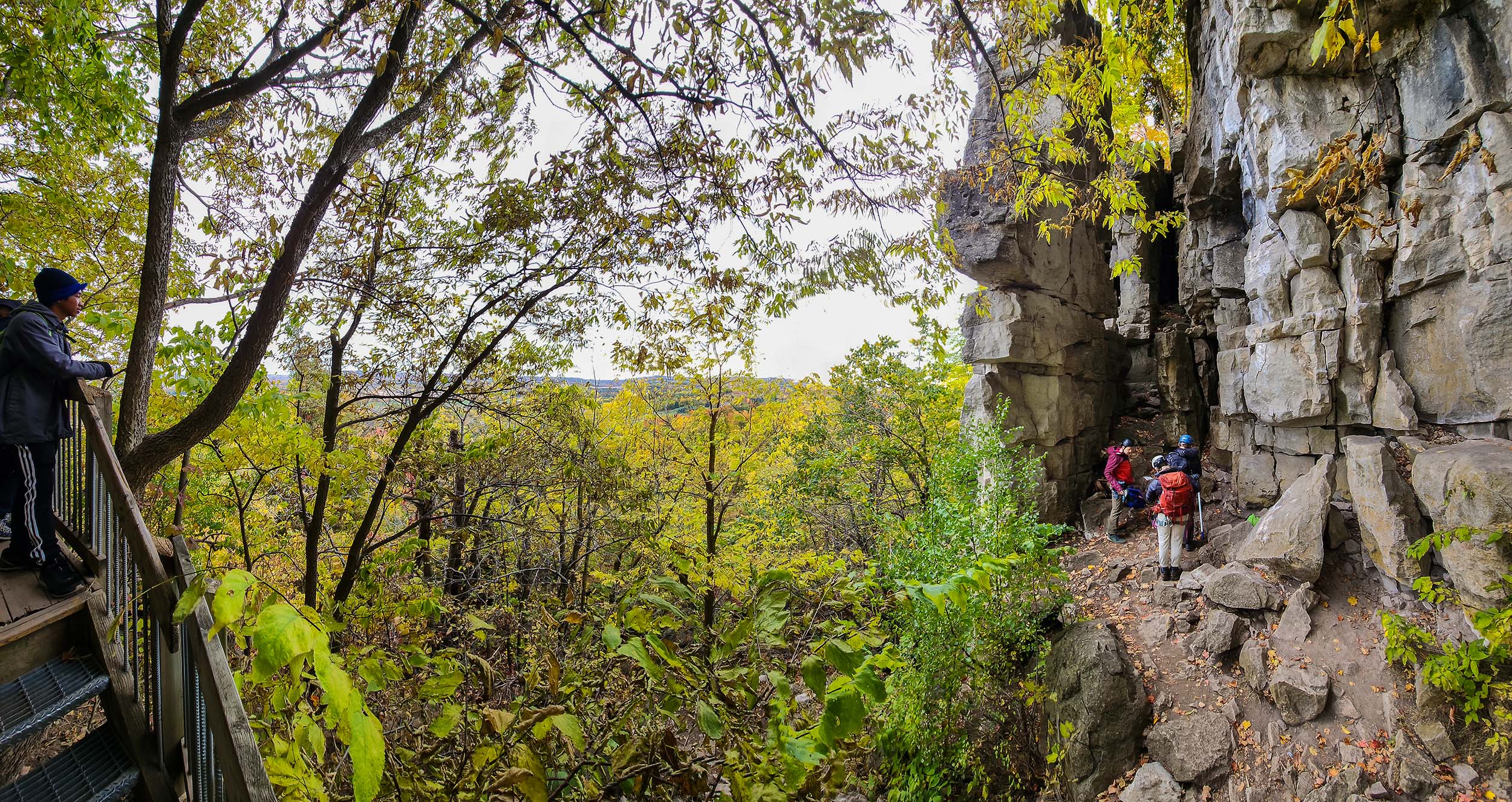
You don’t need to wait long to get your views after the bus pulls up in the upper picnic area by the parking lots. A short walk in from the trailhead takes you to Nelson Lookout, and the adjacent Trafalgar and Pinnacle lookouts, with their views down over Nassagaweya Canyon – a wide glacial ravine full of farms and woodlots. Reservations are required to visit the park, to manage numbers on the trails and the campsites, so book ahead.
This stretch of cliff face got its name from the shape of the ridge on topographical maps, which resembled the ridged tail of a rattlesnake, though there are also stories of hundreds of Timber Rattlesnakes sunning themselves on the rocks, though these animals haven’t been seen here in decades.
A father and son team of farmers, Matthew and Joseph Dice, owned the property below and above where the trail is now. The Dices had cleared the land for farming by the end of the 19th century, so what you see here now is largely reforested.
The park was created in 1961 as a conservation area, and the trails along the cliff connect to the Bruce Trail. Designated a United Nations Biosphere protected area, it’s been free from development until recently, though the expansion of the Greater Toronto Area and the rise of real estate values in the region has brought pressure to build on what was either farmland or reforested areas.
The park features two looping trails – the short (1.5 km) Vista Adventure Trail, and the longer (3 km) Buffalo Crag Trail – while the Bruce Trail cuts through the park and the Nassagaweya Canyon Trail (4.7 km) begins here and ends at Crawford Lake, with its replica Iroquois village. The range of difficulty and options for a day’s hike (Parkbus picks up and drops off at Crawford Lake as well as Rattlesnake Point) makes it an attractive day trip, even if you can’t make it to other nearby conservation areas like Kelso, Mount Nemo, Mountsberg, Campbellville, Hilton Falls and Robert Edmondson.
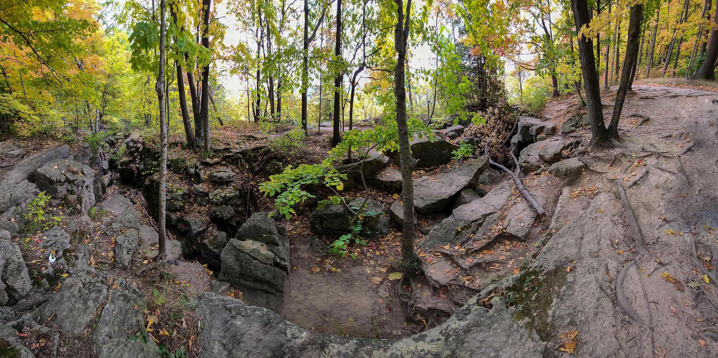
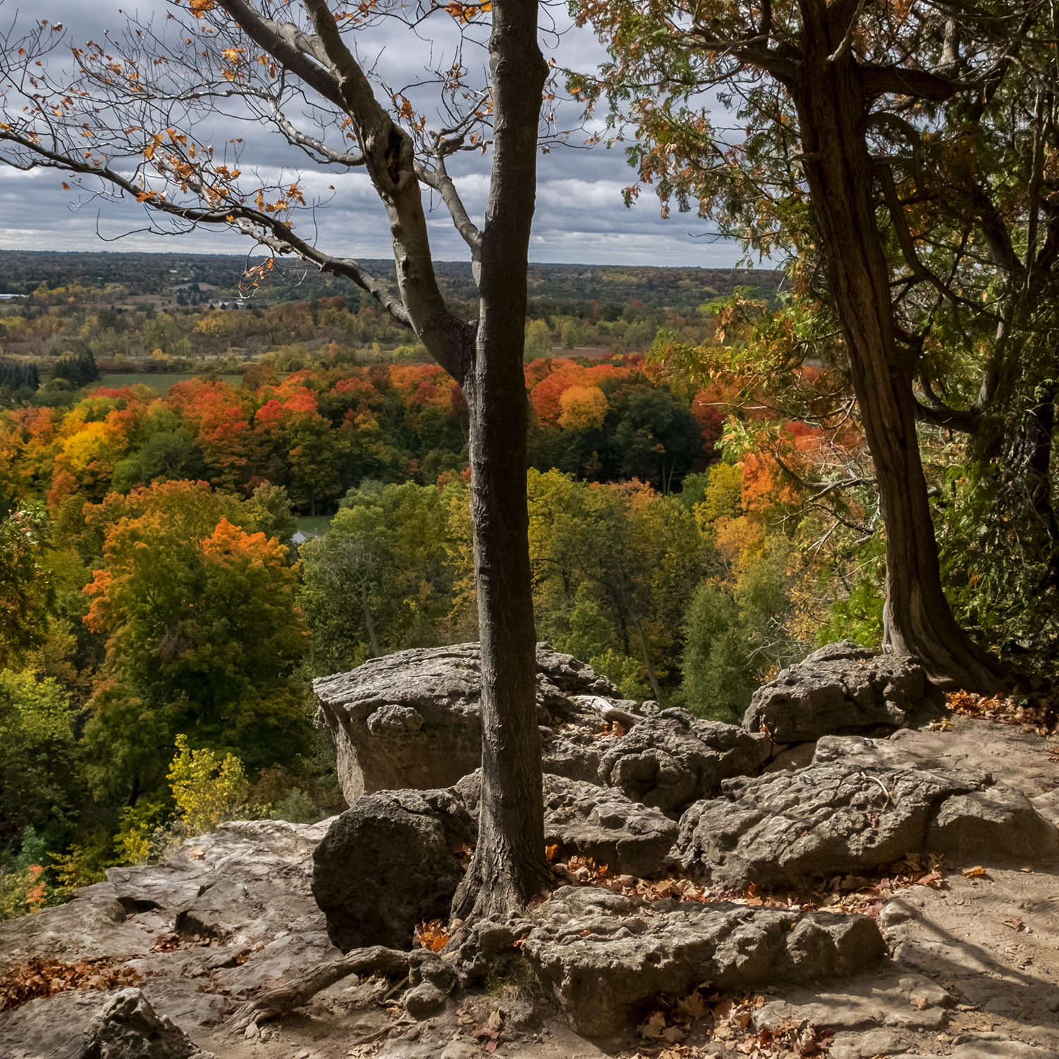
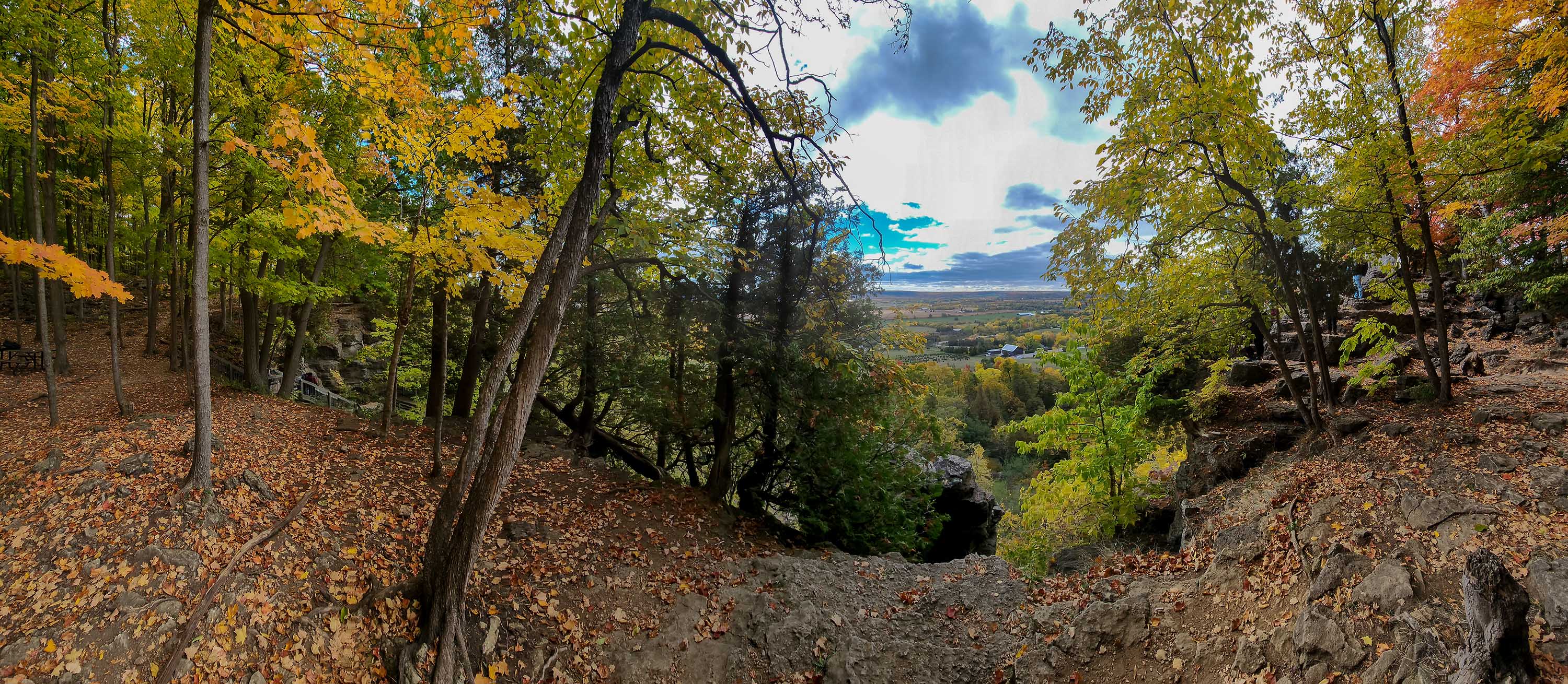
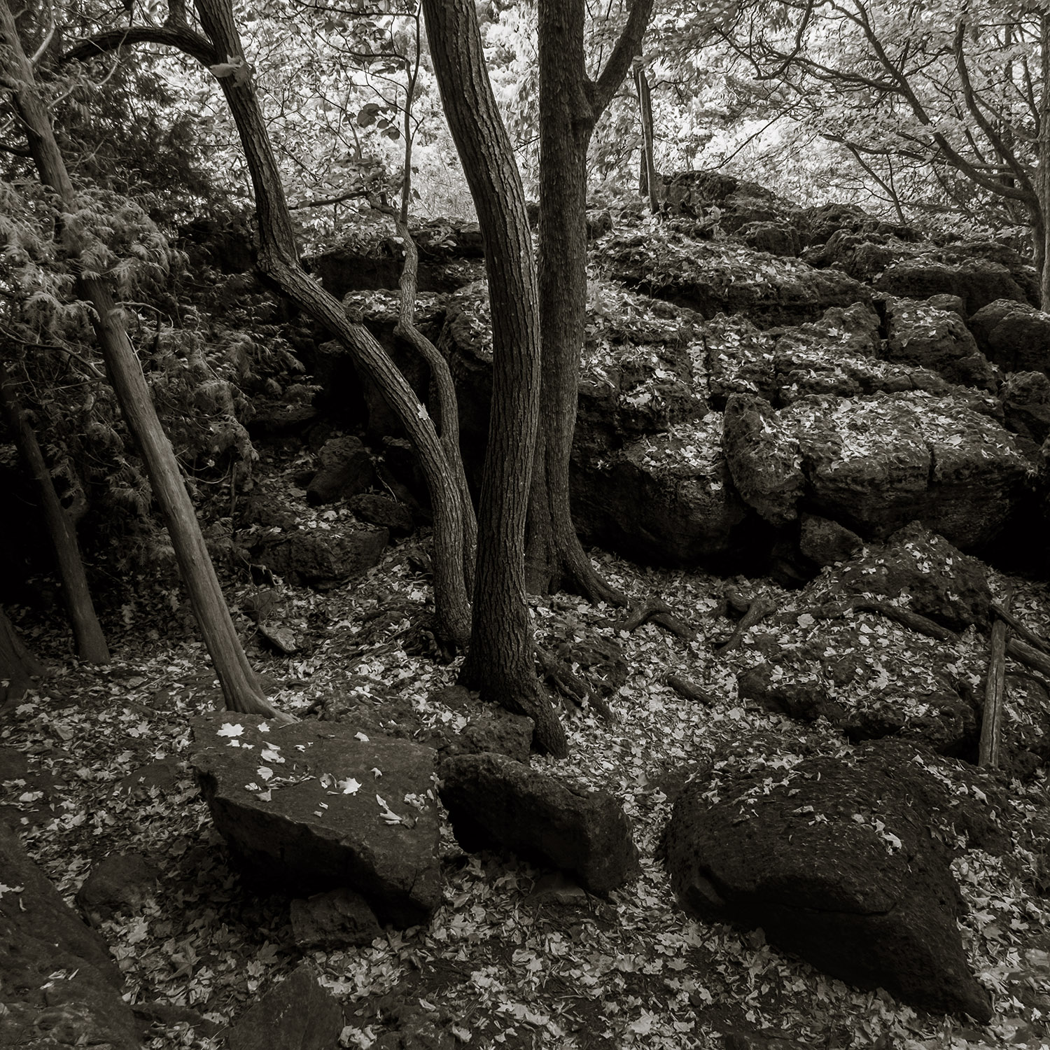
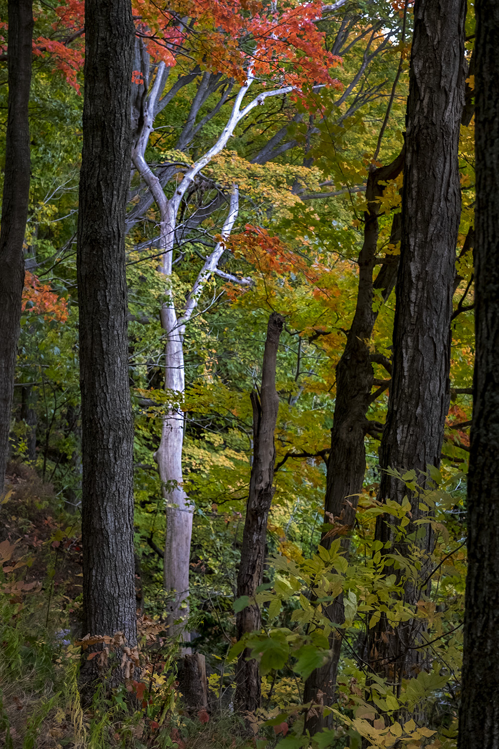
Even for such short trails there’s a lot of variety, from the cliffside lookouts to the fissures opening up in the limestone caprock to stretches of woodland trails that change from colourful deciduous woods to pine forests. Some parts of the trail were in full colour, in yellow, orange and red, on our day there, while others were just starting to change – a testament to the varying microclimates along the escarpment.
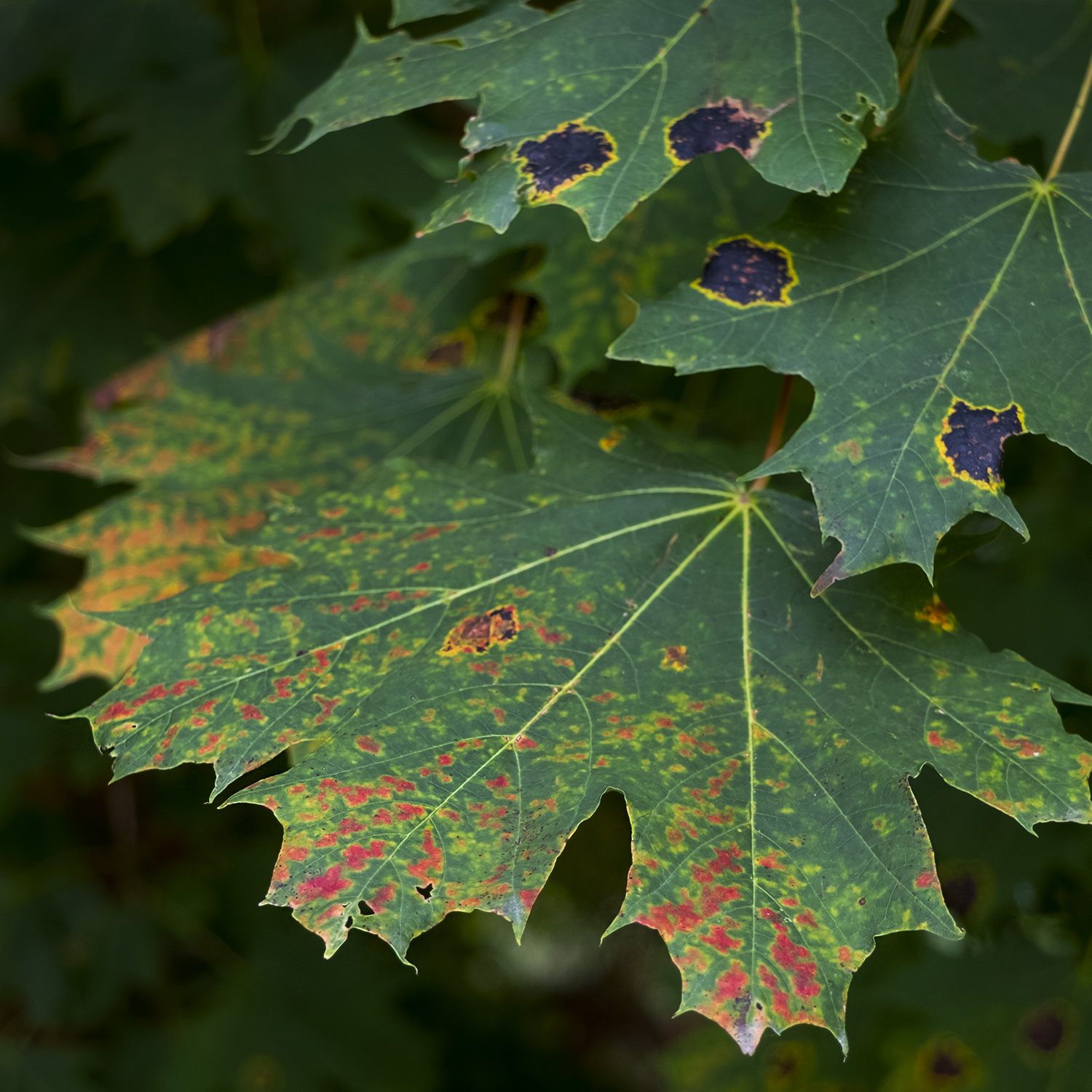
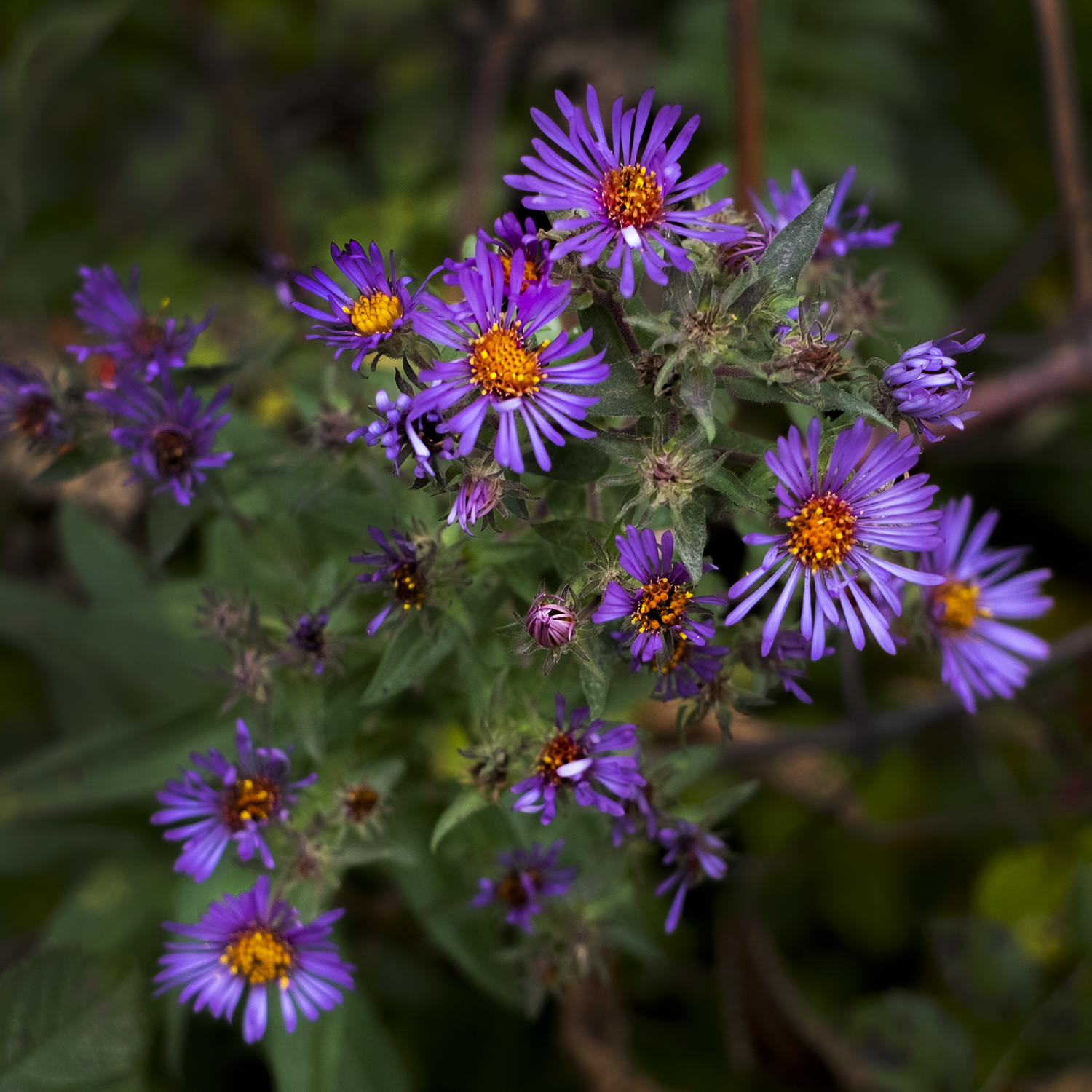
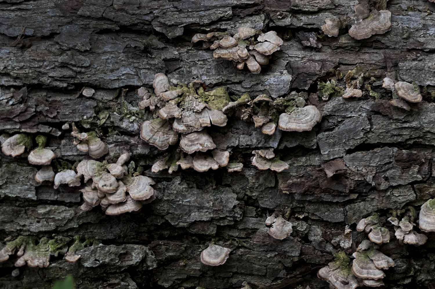
The only other colours this late in the fall came from the sumac buds and asters, in white and purple. Getting close to the ground, however reveals lichen and fungus for anyone looking for textures or subjects for macro photos. The air is cool and clean in this rural stretch between cities like Guelph and Kitchener and the cities sprawling along Lake Ontario.
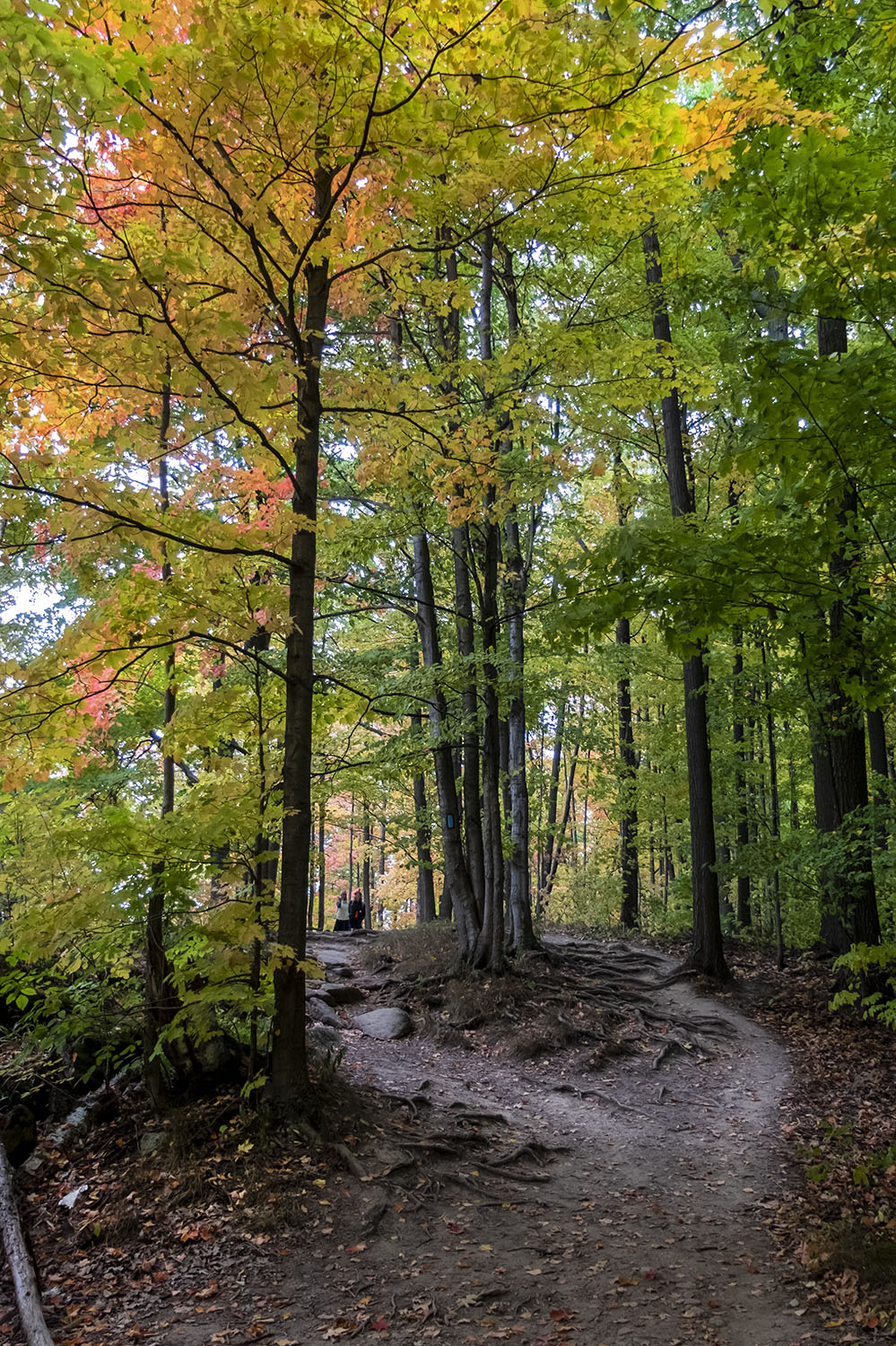
The trails are well kept and clearly marked so it’s hard to get lost, and even with plenty of time to take pictures and stop for lunch, you can do the Buffalo Crag Trail once and the Vista Adventure Trail twice in the time between Parkbus pickups. I didn’t bring my usual backpack full of cameras and lenses for the trip, but stuck to a compact camera (a Fuji X30) and my cellphone, for shooting the panoramas that Rattlesnake Point demands you take.
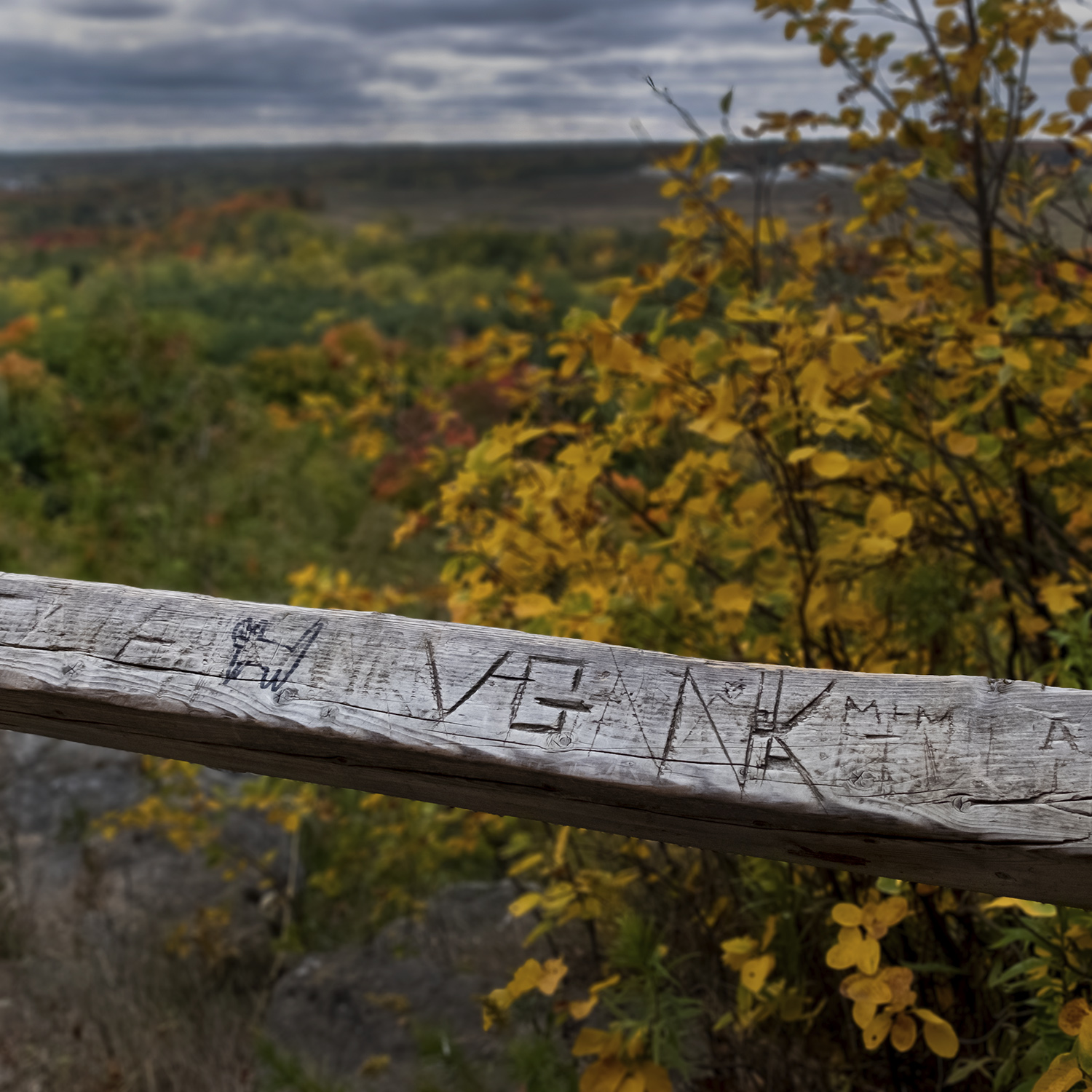
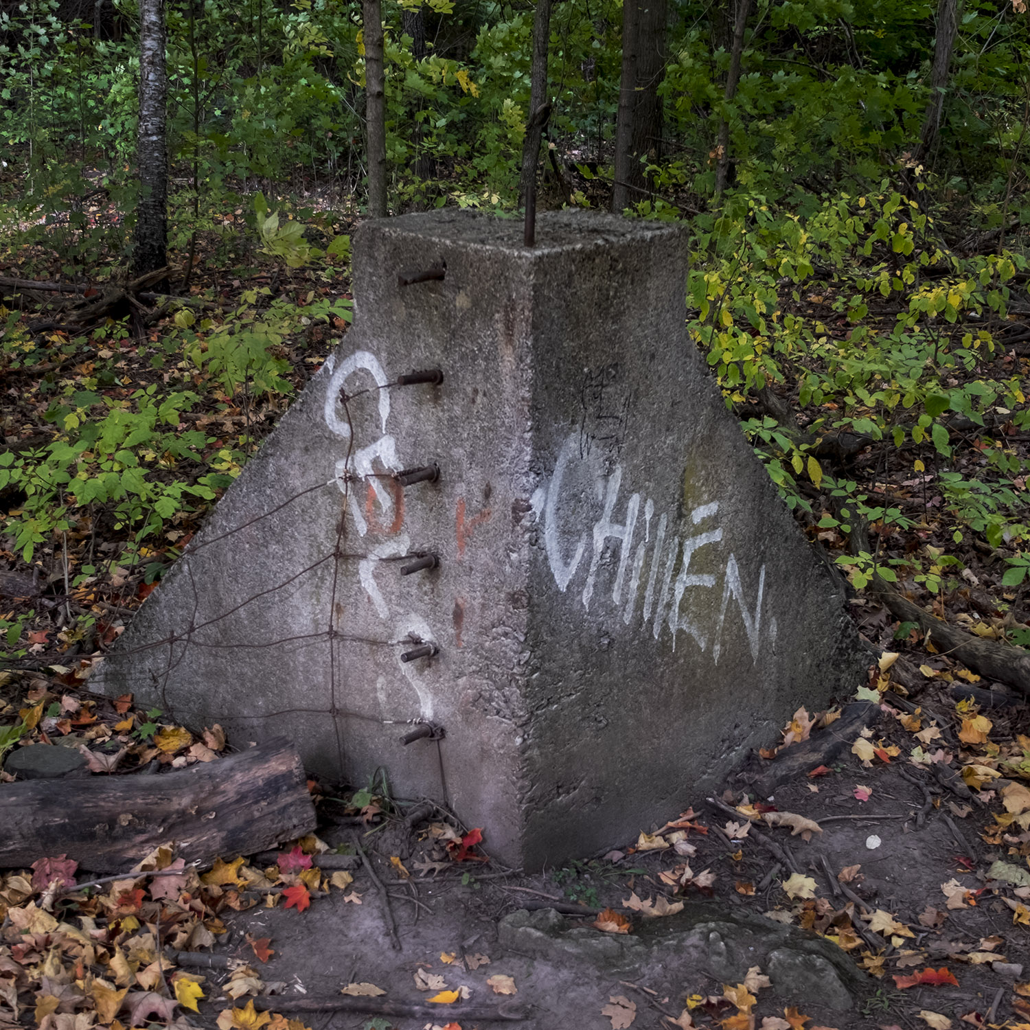
The trails are as full of human traces as you’d expect, and prime spots on the rocky outcrops are in demand for selfies, so be prepared to line up on a busy weekend. Reforestation will give you the impression that this was always a woodland, though a big concrete block along one of the trails – tagged with graffiti and studded with metal pins – provides evidence that this picturesque spot has had many different uses.
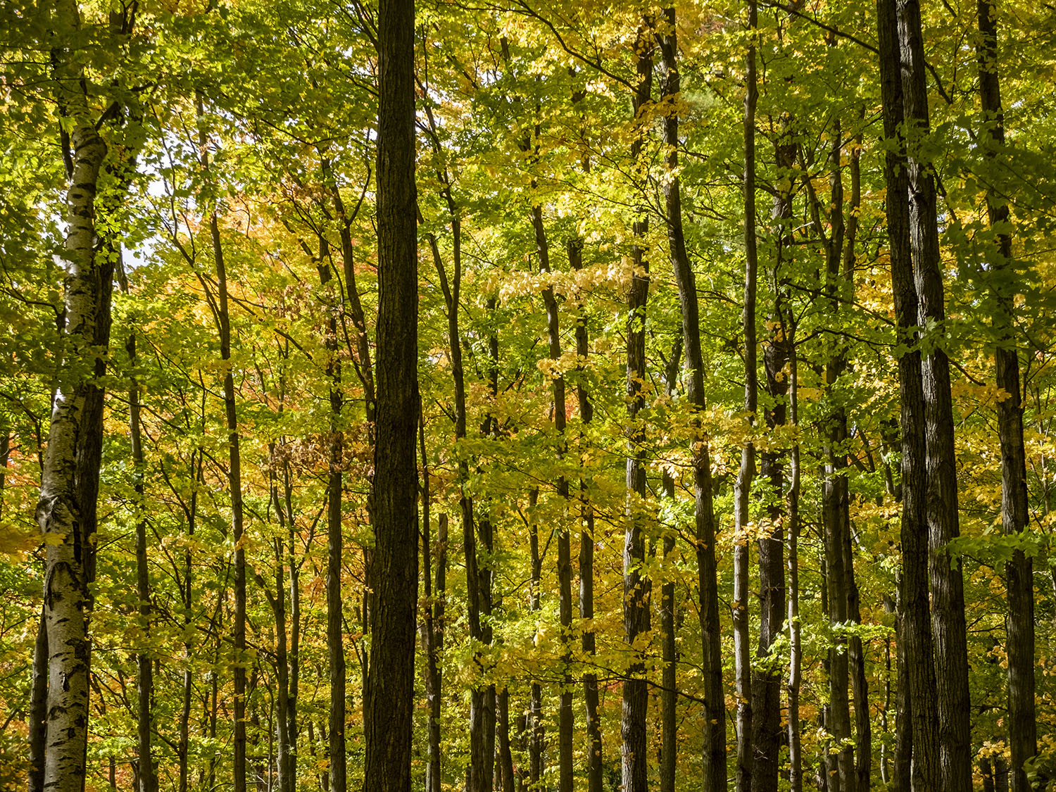
The sun came out periodically to highlight the turning leaves in the trees above and below us – a healthy managed forest whose hidden stars are the Eastern Cedars, native to the area, that can live for hundreds of years even while clinging to the edge of the cliff faces. Rattlesnakes might be (thankfully) scarce these days, but deer can be spotted on quiet days, and there’s always the turkey vultures wheeling overhead by the edge of the cliff.
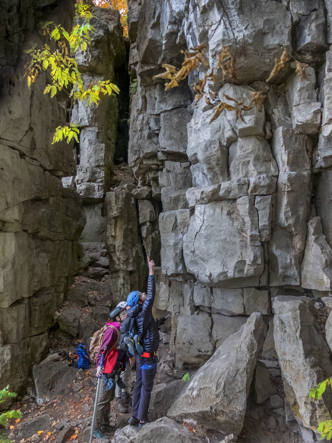
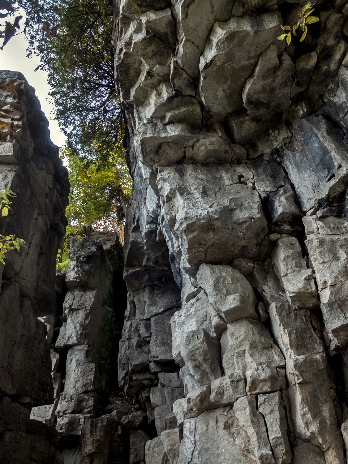
That cliff – a hard dolomitic limestone cap that forms the Niagara Escarpment – has become a magnet for rock climbers. You’ll see hooks for ropes screwed into rocks near Nelson Lookout, and a helpful set of stairs down the cliffs provide a spot to watch climbers negotiate the cliff face. For me at least, rock climbing is a sport better watched than attempted, and thanks to the abundance of trails and lookouts at Rattlesnake Point, you don’t need to hang from a cliff to get a great view.
Photos and story © 2022 Rick McGinnis All Rights Reserved

Looks like an awesome day Rick!
LikeLike
[…] post was finally finished by November and, along with a quick story done during a family trip to Rattlesnake Point, comprised the whole of my travel photography output for the […]
LikeLike
[…] View from Rattlesnake Point. Image by Rick McGinnis from awaywithacamera.com […]
LikeLike