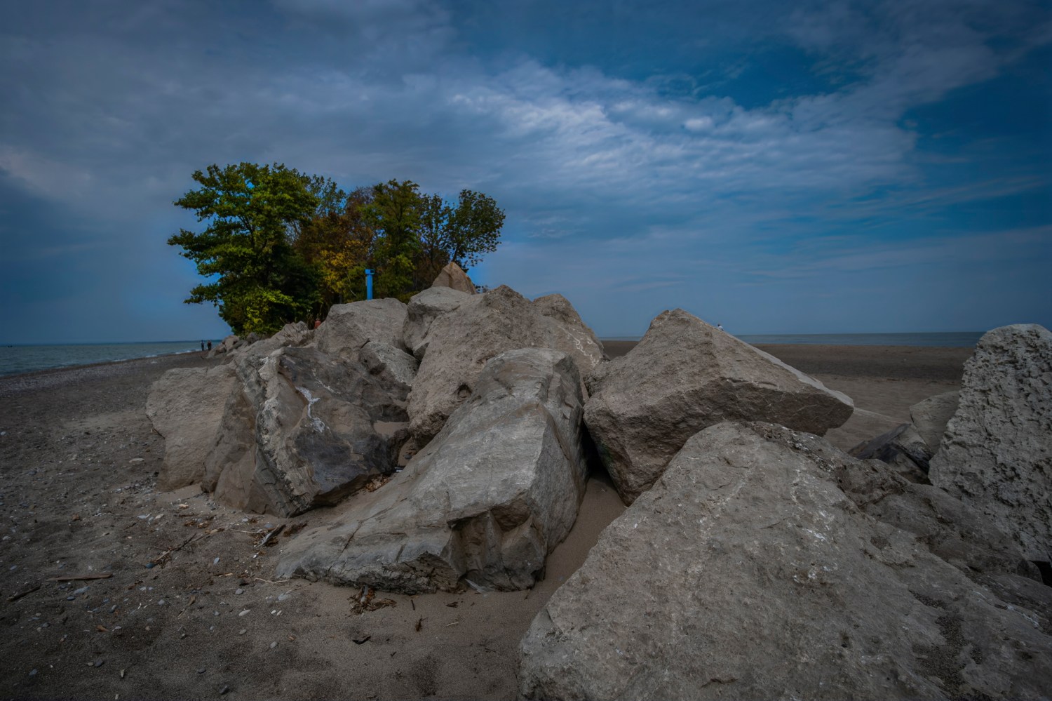

IT TOOK ME A LONG TIME TO GET TO POINT PELEE. The park is really only about three and a half hours from Toronto, but like most places you can’t get to without a car – and there’s far too many places like that in my province – I had to wait a long time for the opportunity to get there. So the park – and the unique geological and geographic feature at its heart – remained on a bucket list for years until, last fall, Park Bus offered a day trip there in the fall, during the migration of the Monarch butterflies that use the park as a rest stop on their way south.
The point in Point Pelee is a long spit of sand that’s the southernmost bit of mainland Canada. (Pelee Island, the last actual piece of Canada, is further out in Lake Erie, but you need to take a ferry to get there and that’s a whole other trip.) The park itself is actually three distinct areas – the sandy beach that shifts and changes shape with storms and waves, the forest you have to walk through to get to the beach, and the vast marshland that connects it all to the shore. I spent a busy day visiting as much of all three places as I could and surprised myself with what I saw.
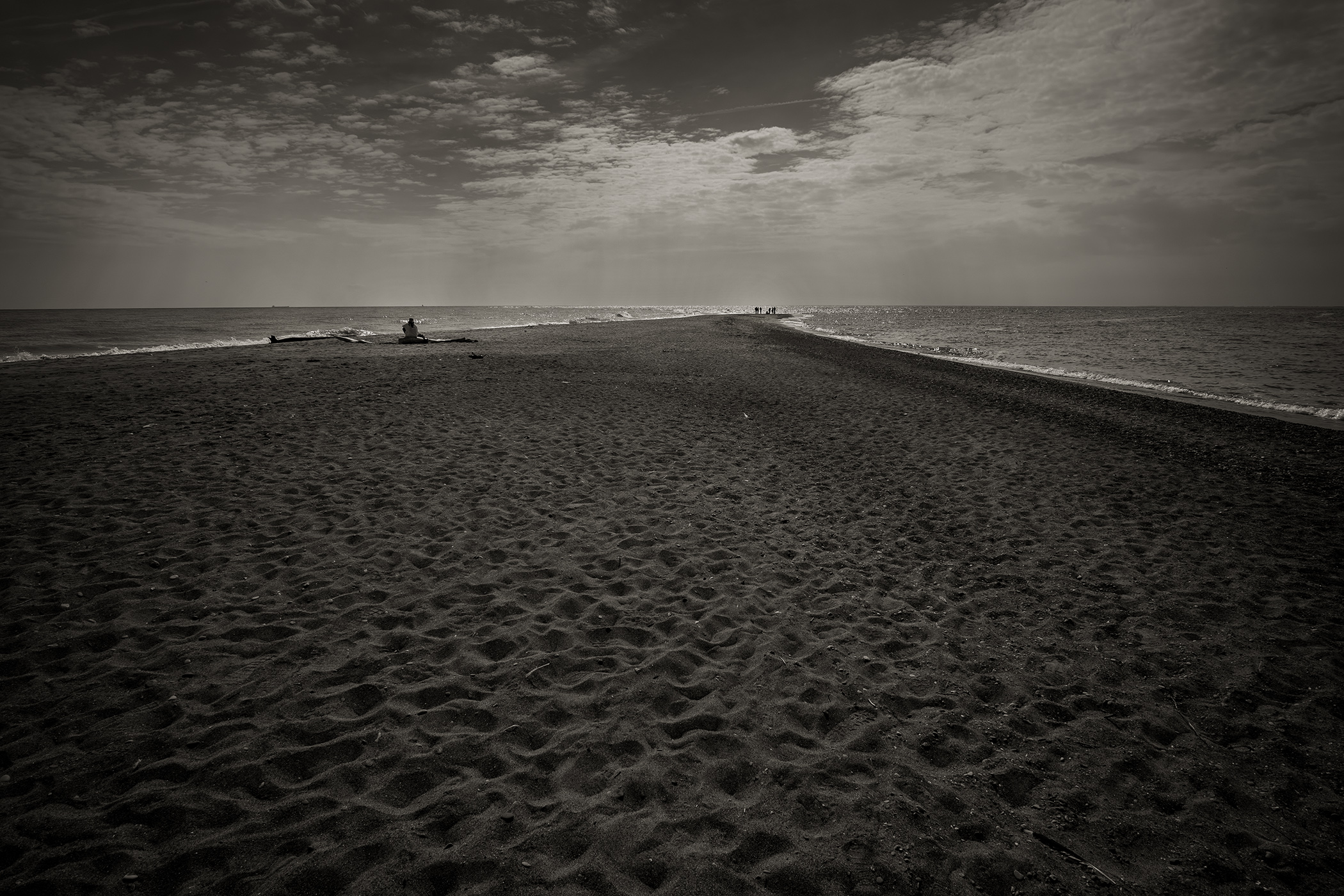
It goes without saying that the sandy tip of Point Pelee is what everybody wants to see once they get to the park – a big spot for selfies and Instagram posts. Back when much of the park was covered in cottages and access was far less controlled, people used to drive down the main road right to beach and park there. Today you need to pay your admission, find a parking lot and take the park’s shuttle service to the end of the point where you’ll end up lining up for your turn to take that crucial picture at the spot where mainland Canada ends.
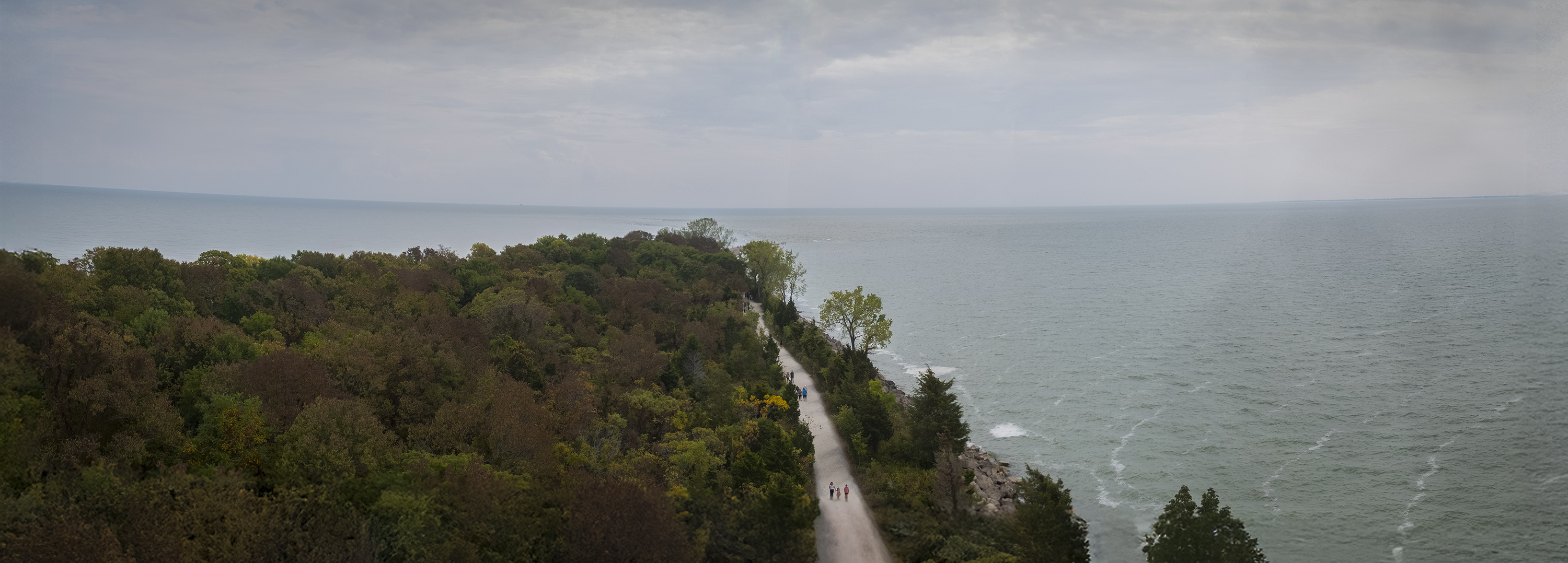
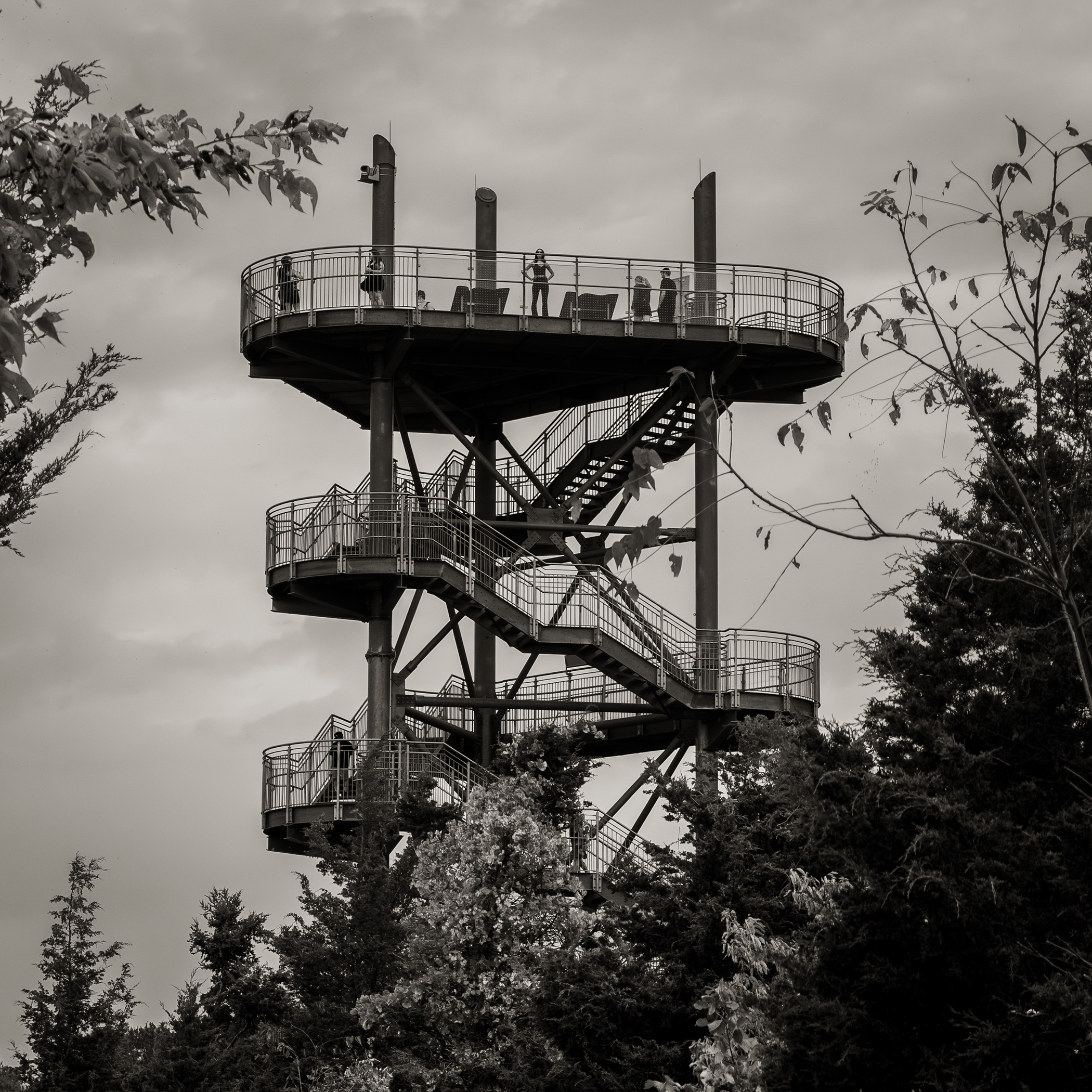
The park has several useful observation towers, one of which is just past where the shuttle drops you off. There’s a short hike to the beach from there, but the tower has a nice view up and down the Point. I was there on one of the last fine days when summer shades into fall so the trails and the beach were crowded, but with a bit of patience I was able to get a handful of photos that captured the stark beauty of the Point where the water meets the land.
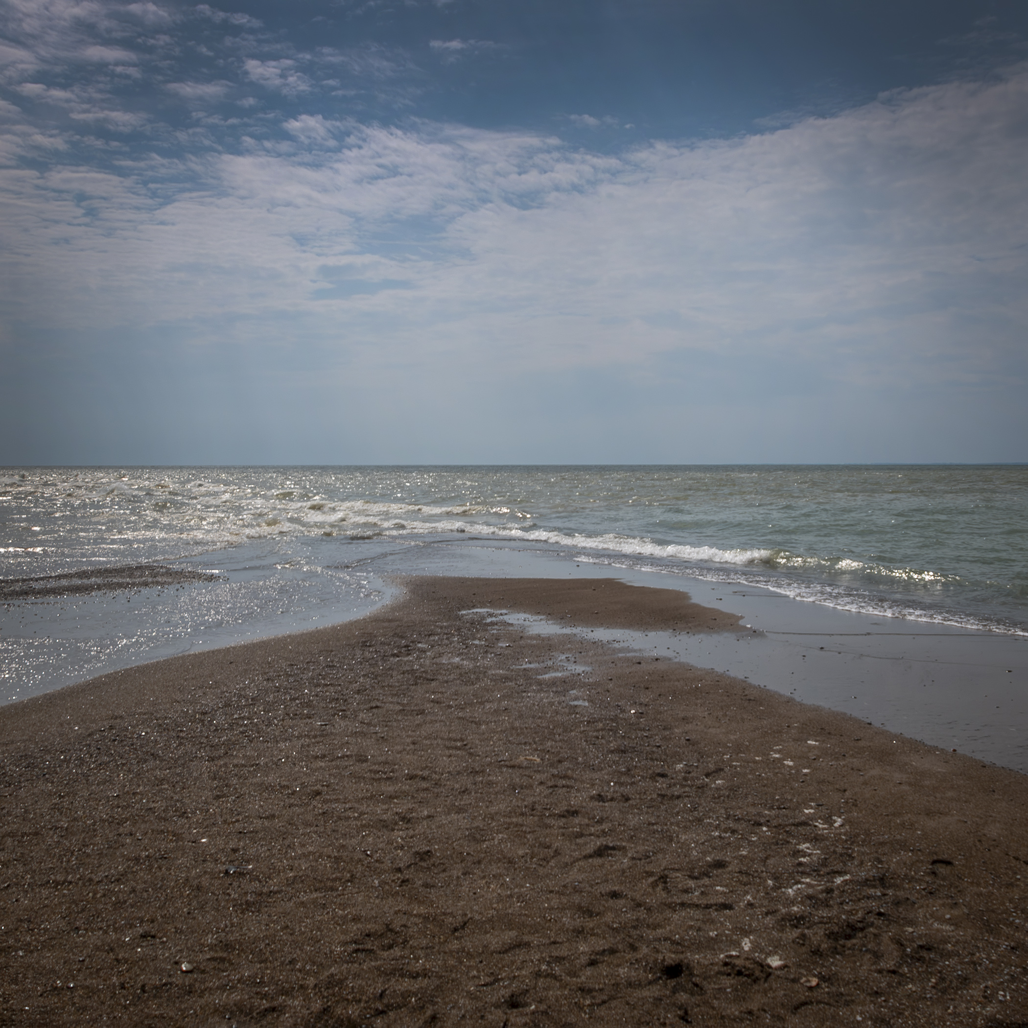
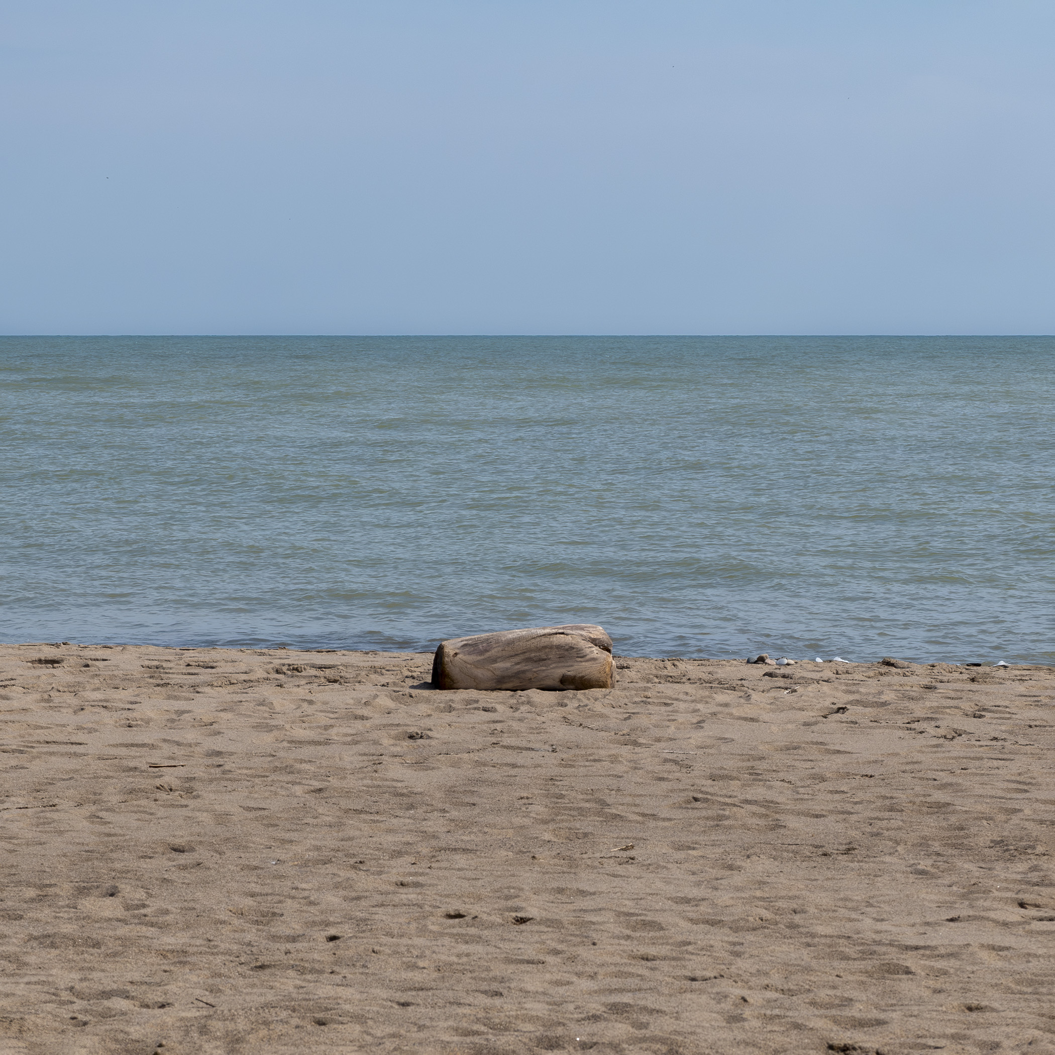
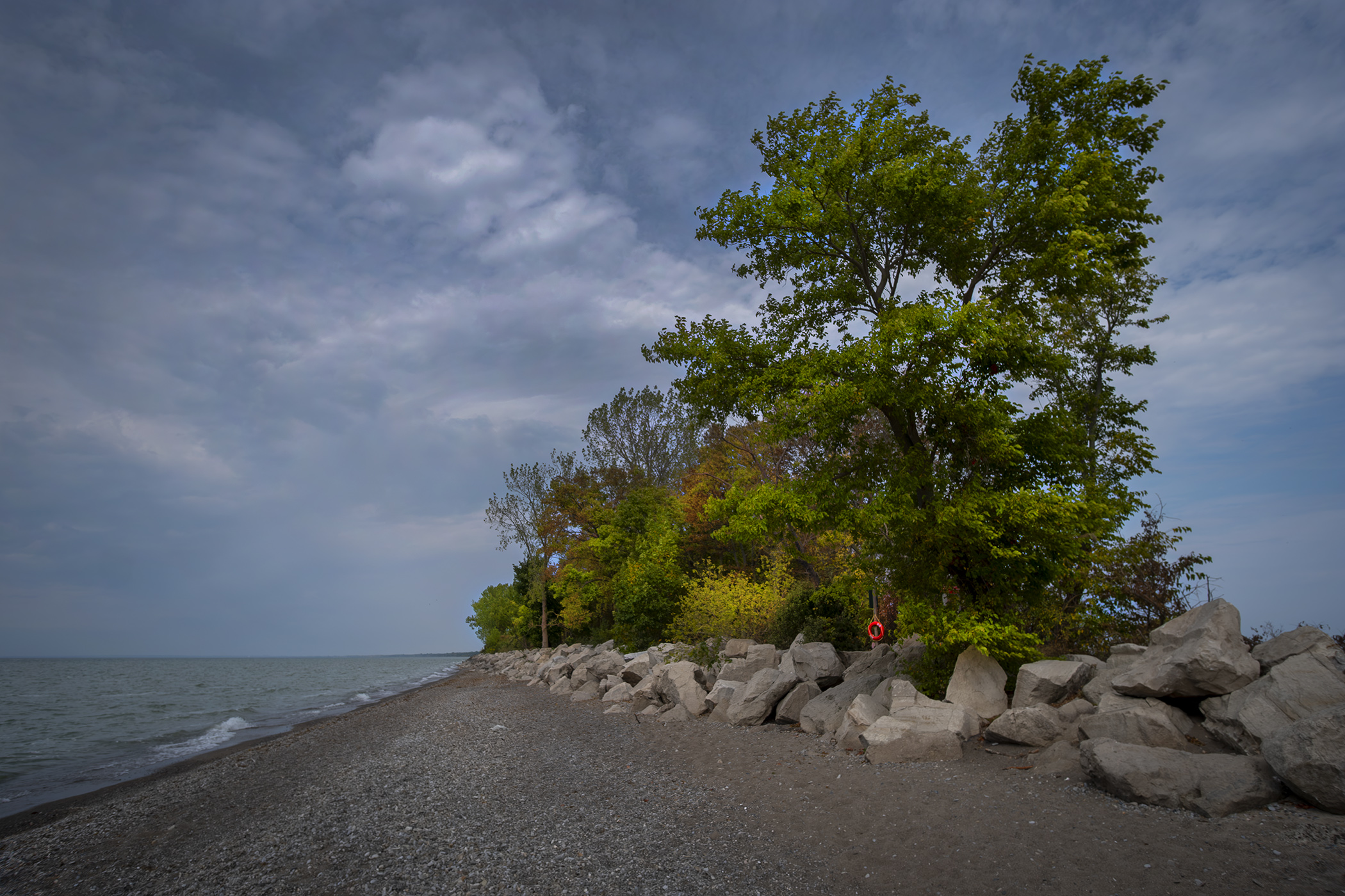
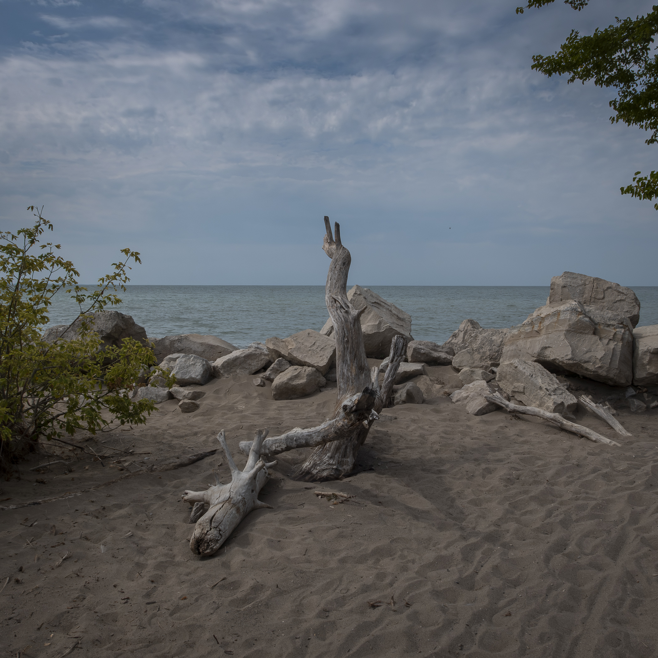
Thanks to the lake and the wind the shape of the point is constantly changing, shrinking or growing from season to season. On the weekend I visited it seemed to stretch deep into Lake Erie, but there are times when it shrinks or even splits in two. Unfortunately, thanks to that wind, which was blowing north from the lake that day, there weren’t any butterflies to be seen, as they need winds blowing south to continue their journey. It also meant the beach was pretty crowded, and I couldn’t help envying locals who can come here on weekdays, early and late in the day, and enjoy the sky, sand and water with fewer distractions.
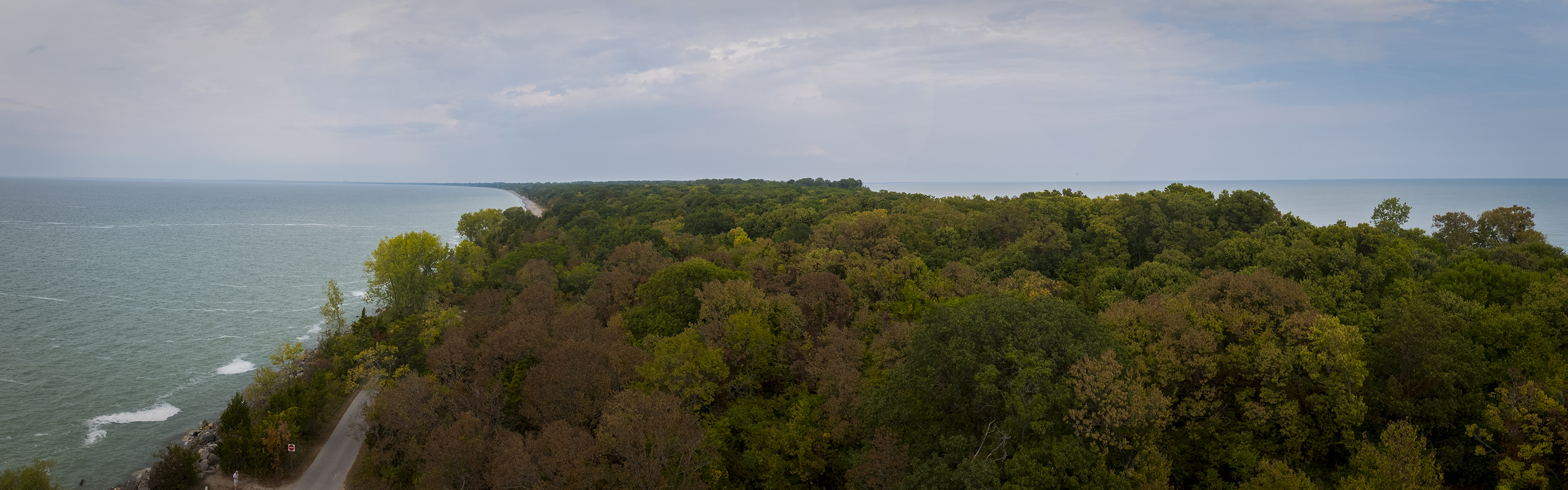
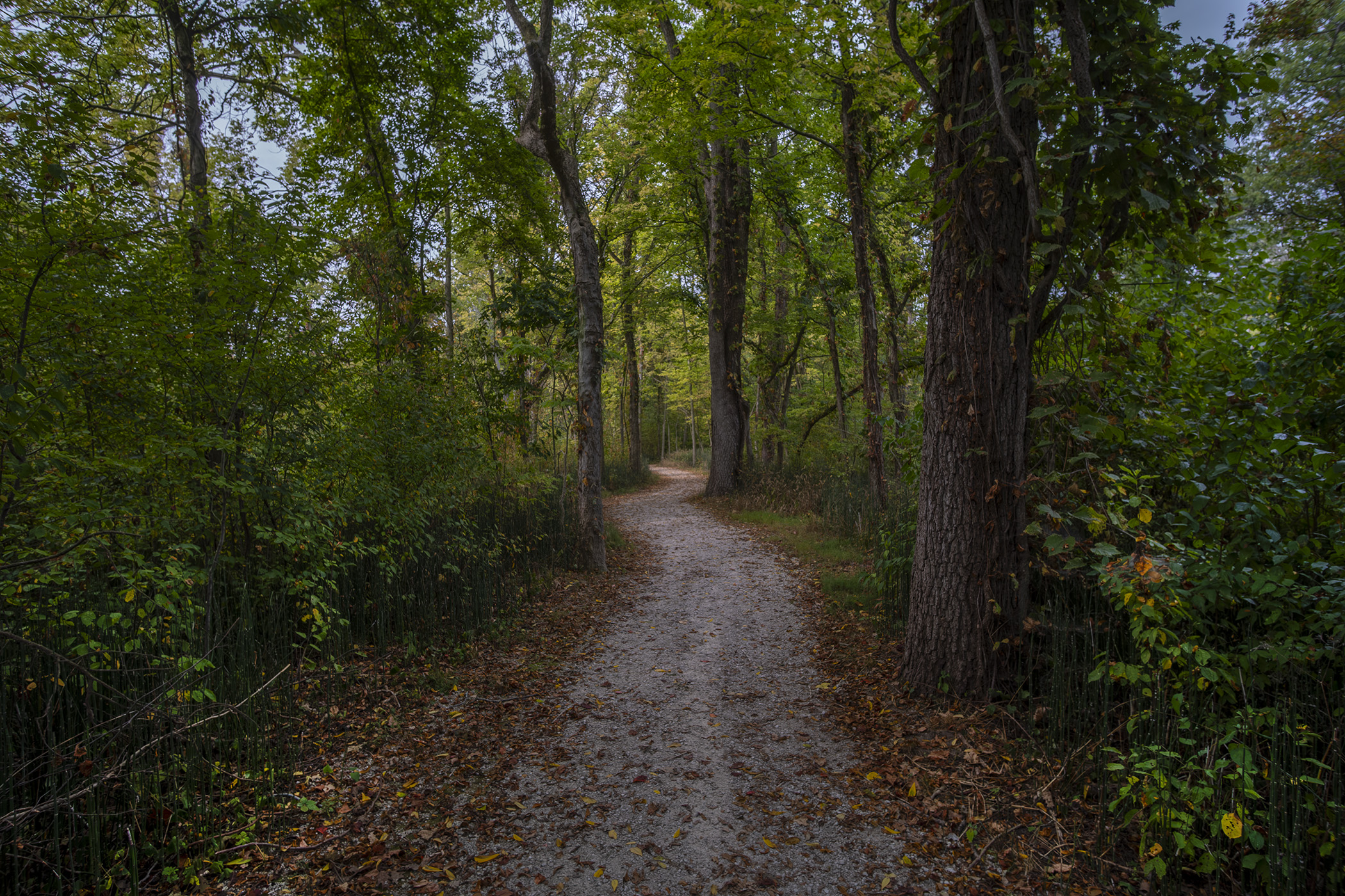
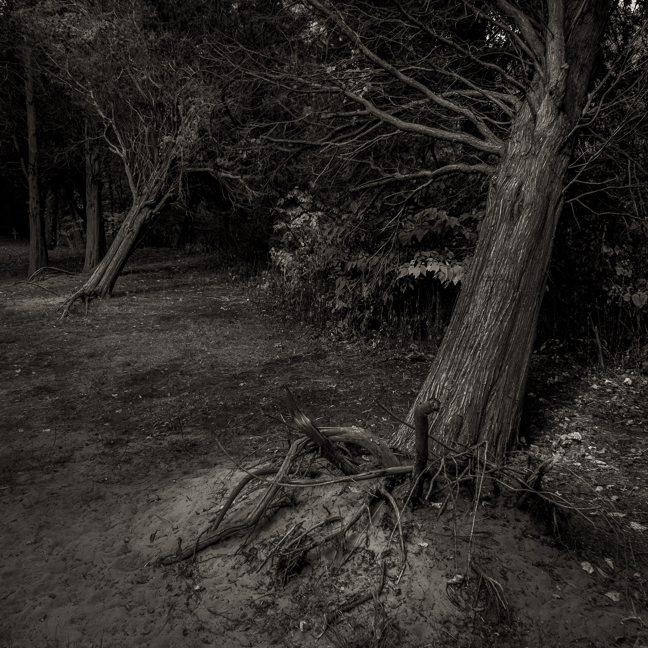
Much of the land behind the beach is composed of a variety of landscapes – sand spit savannah, red cedar savannah, swamp forest and dry forest. These stretch for acres behind the end of the spit, full of trails for hiking and cycling and footpaths that detour off into the trees. It all looks like ancient woodland until you learn that until the ’70s the park was full of privately owned cottages connected by a central road – this landscape has changed considerably since it was decide to clear the park of residents, farms and fisheries and turn it into a conservation area.
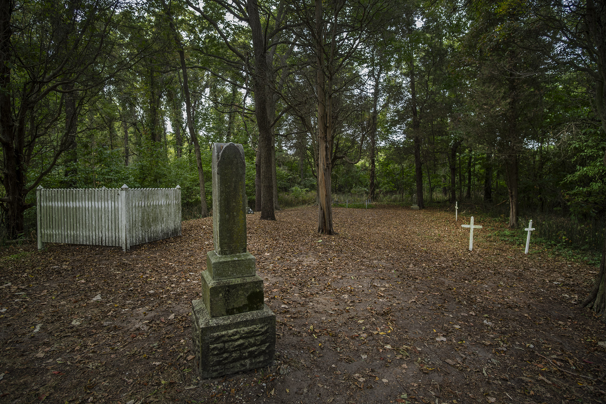
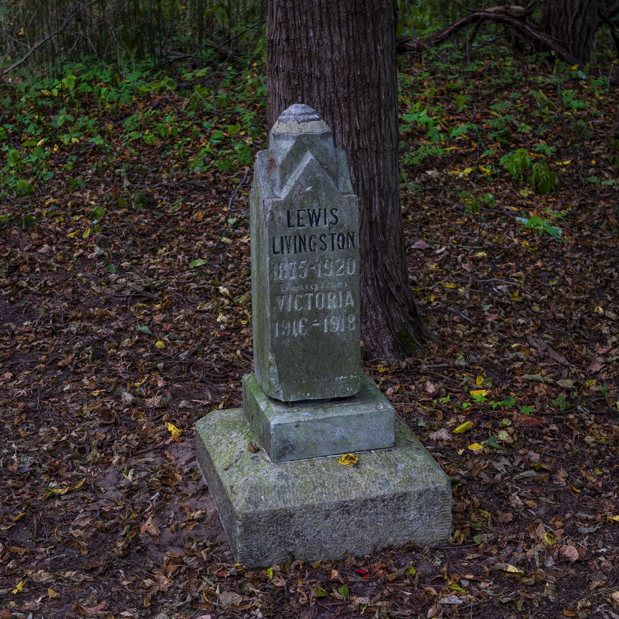
One remnant of the park’s former life is the DeLaurier family cemetery, just off the Anders Trail, inland from the White Pine Pavilion and parking lot. This was the private burial ground of one of the pioneer families on the Point, not far from the family’s 19th century homestead near the trail head. Burials stopped early in the last century but the cemetery remains as a very worthwhile detour off the trail and (from what I saw during my visit) a popular location for photo shoots.
Point Pelee isn’t the only Ontario park that’s gone from agricultural land and development back to something like its original state – parks and conservation areas like Christie Lake and Rattlesnake Point have been returned to woodland after decades of agricultural or industrial use. I’ve discovered all of them thanks to Park Bus – a fantastic service for anyone whose local travel has been limited by lack of access to a car.
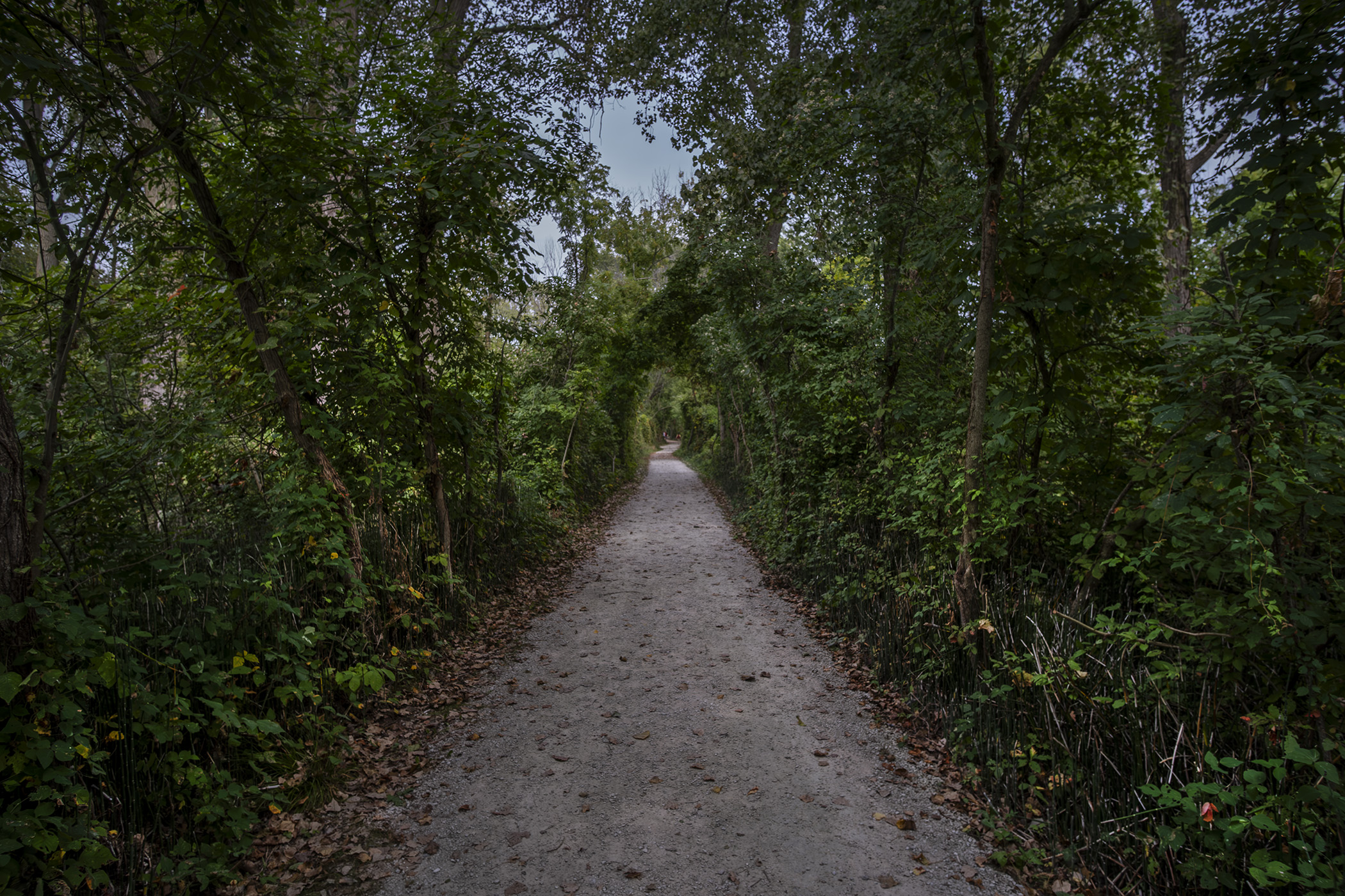
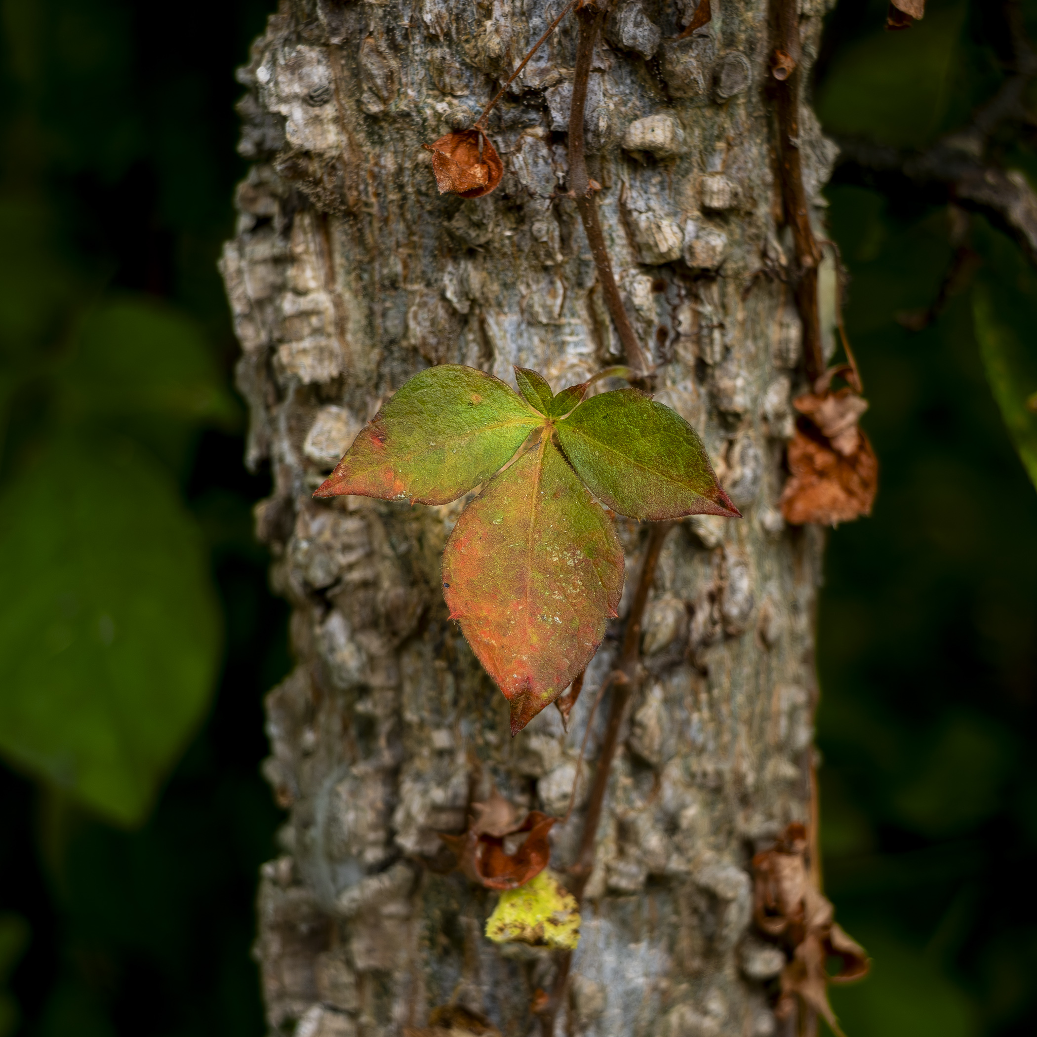
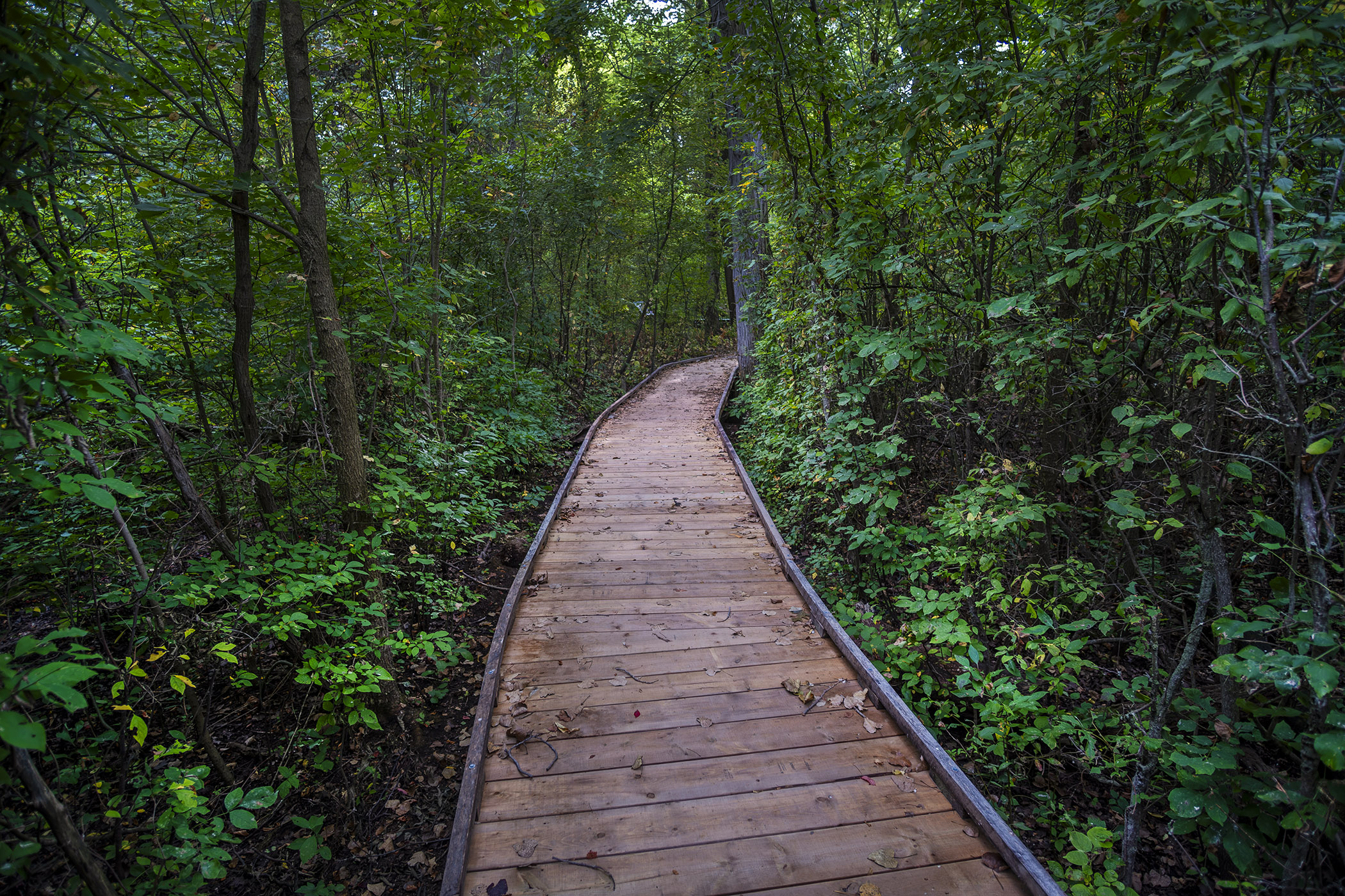
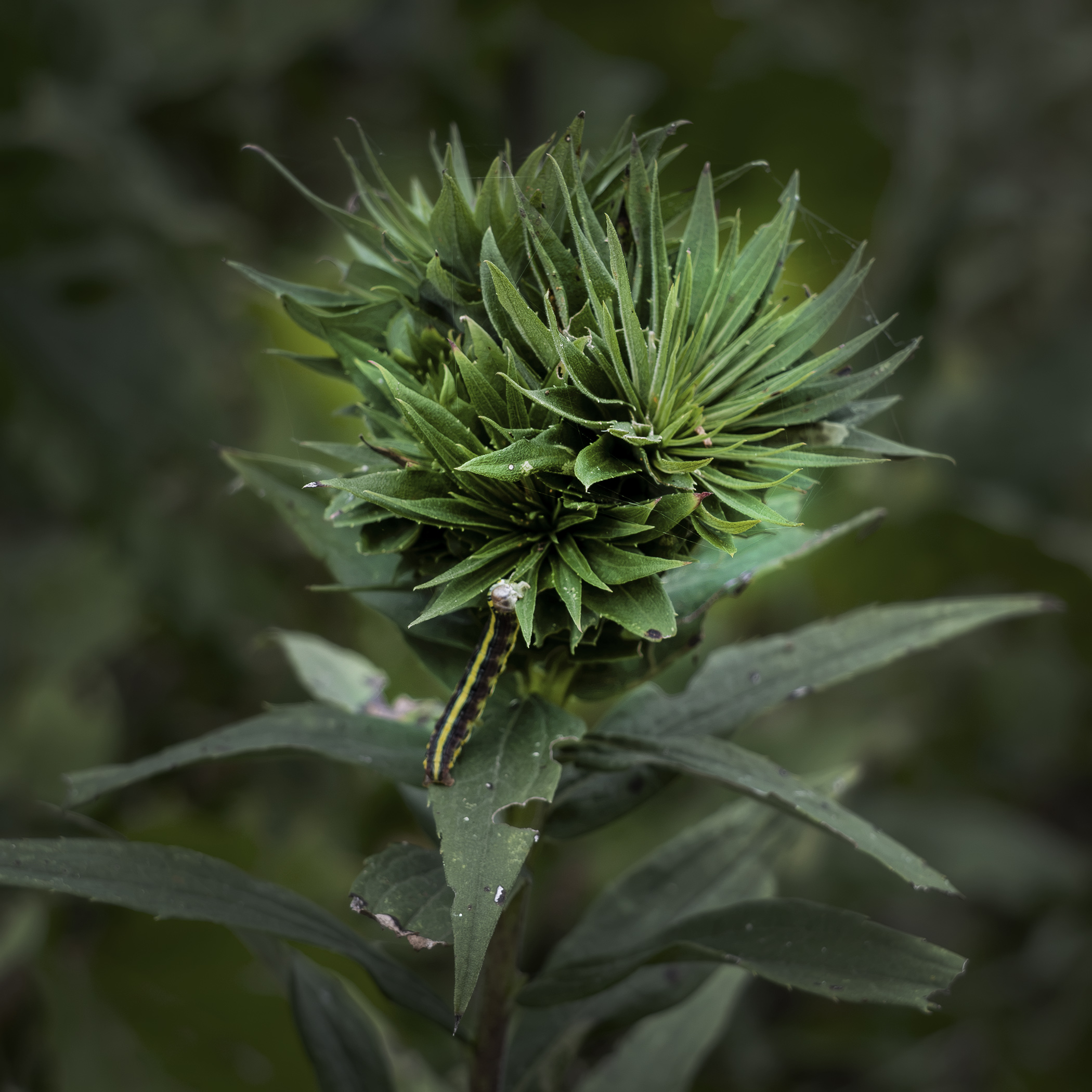
The park today is well-planned and maintained, with a good network of trails and plenty of facilities – bathrooms, shelters, parking lots for cars and bikes – as well as a visitor centre and gift shop by the last peak season parking lot on the way to the end of the Point. You can plan just how long and far you plan to explore the park by choosing your parking or rest spot along the peninsula, whether you plan to enjoy the beach, the trails or spend your day birding with binoculars and camera. The park has even allowed limited camping with cabin rentals in Camp Henry, just by the Tilden Woods trail and the visitor centre.
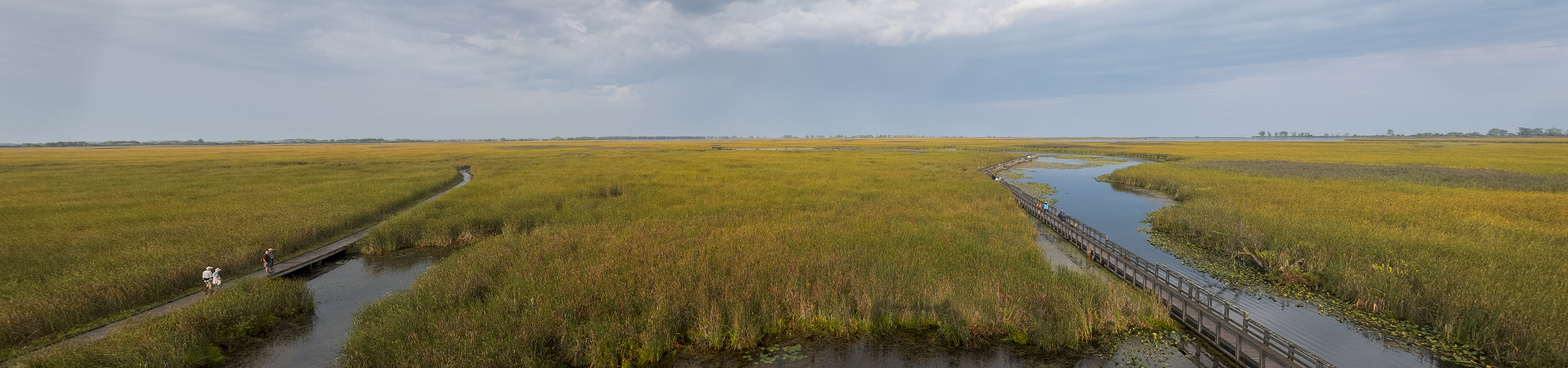
There’s another observation tower by the Marsh Boardwalk, overlooking the ponds and marshland that fill most of the eastern part of the park. It provides a great view over the acres of reeds, cattails, grass and water that have been allowed to regenerate since naturalization began after the ’50s. There are canoes for rent to explore Lake Pond and East Cranberry Pond though the boardwalk itself is a fantastic way to appreciate this underappreciated geographic feature of Point Pelee.
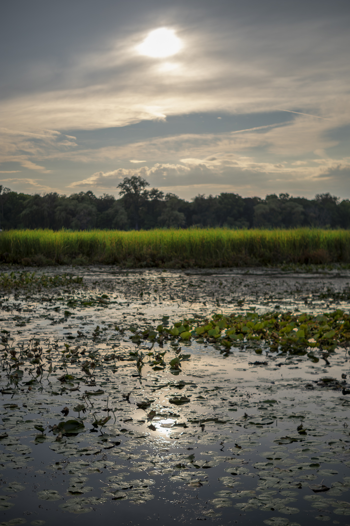
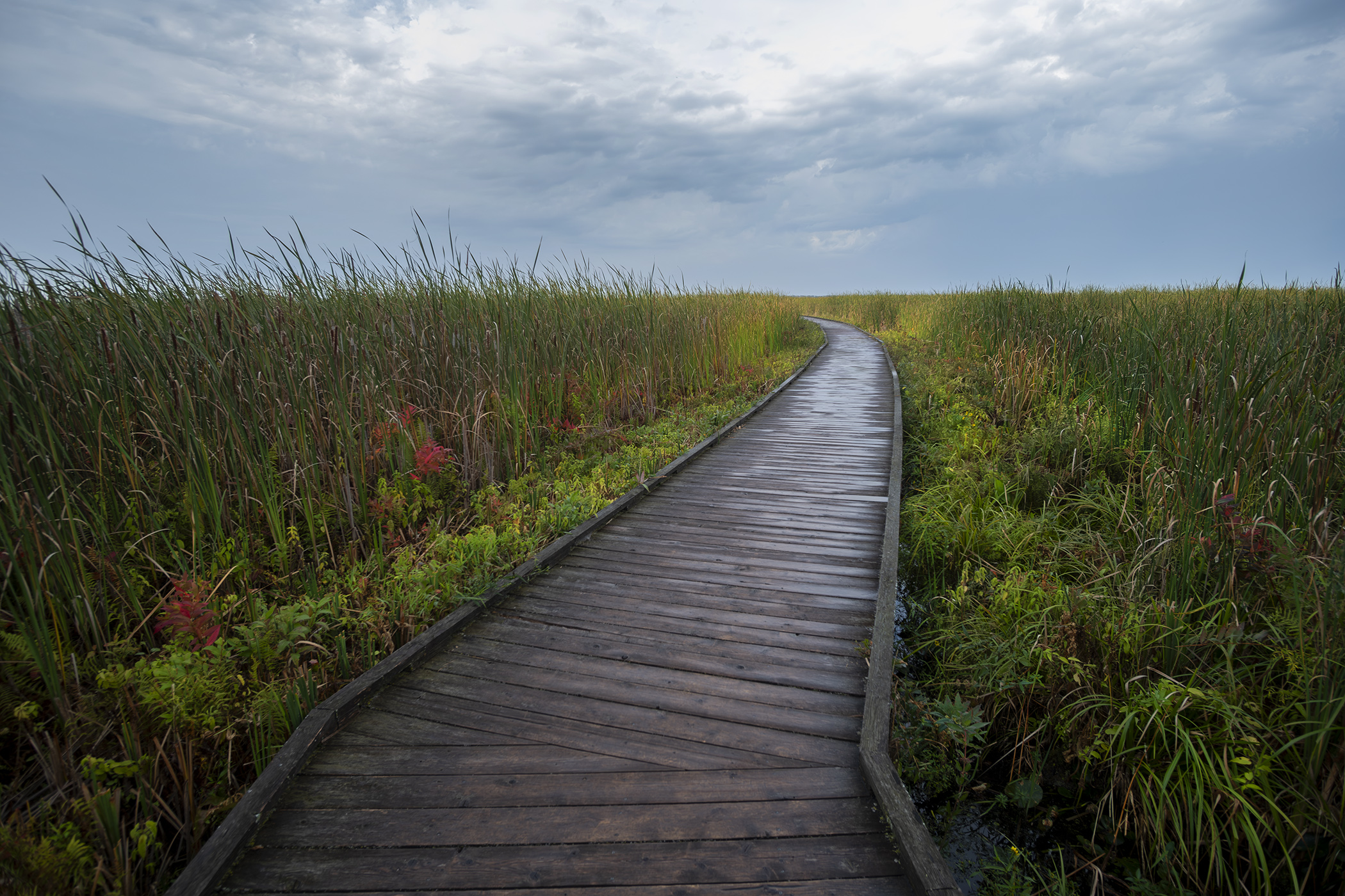
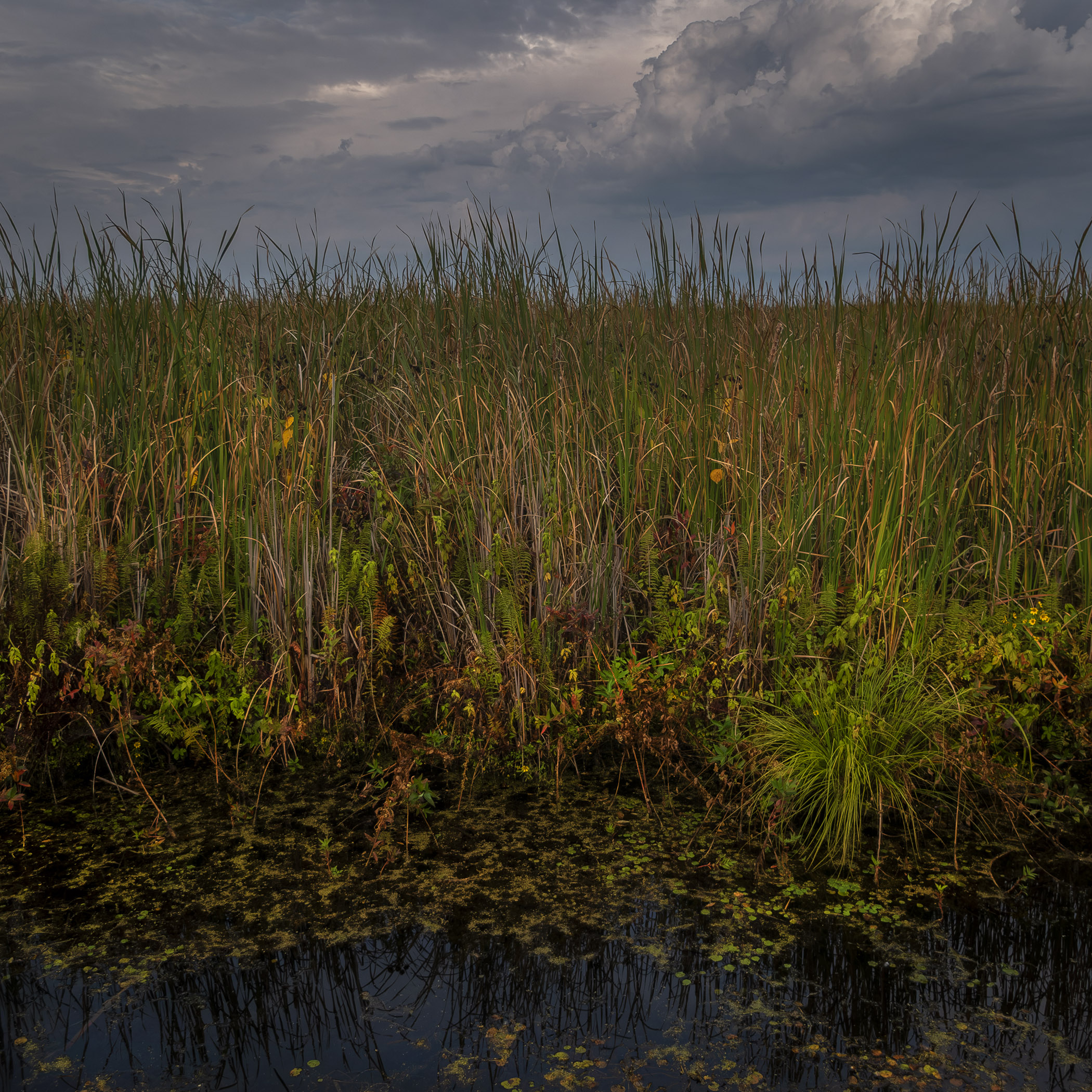
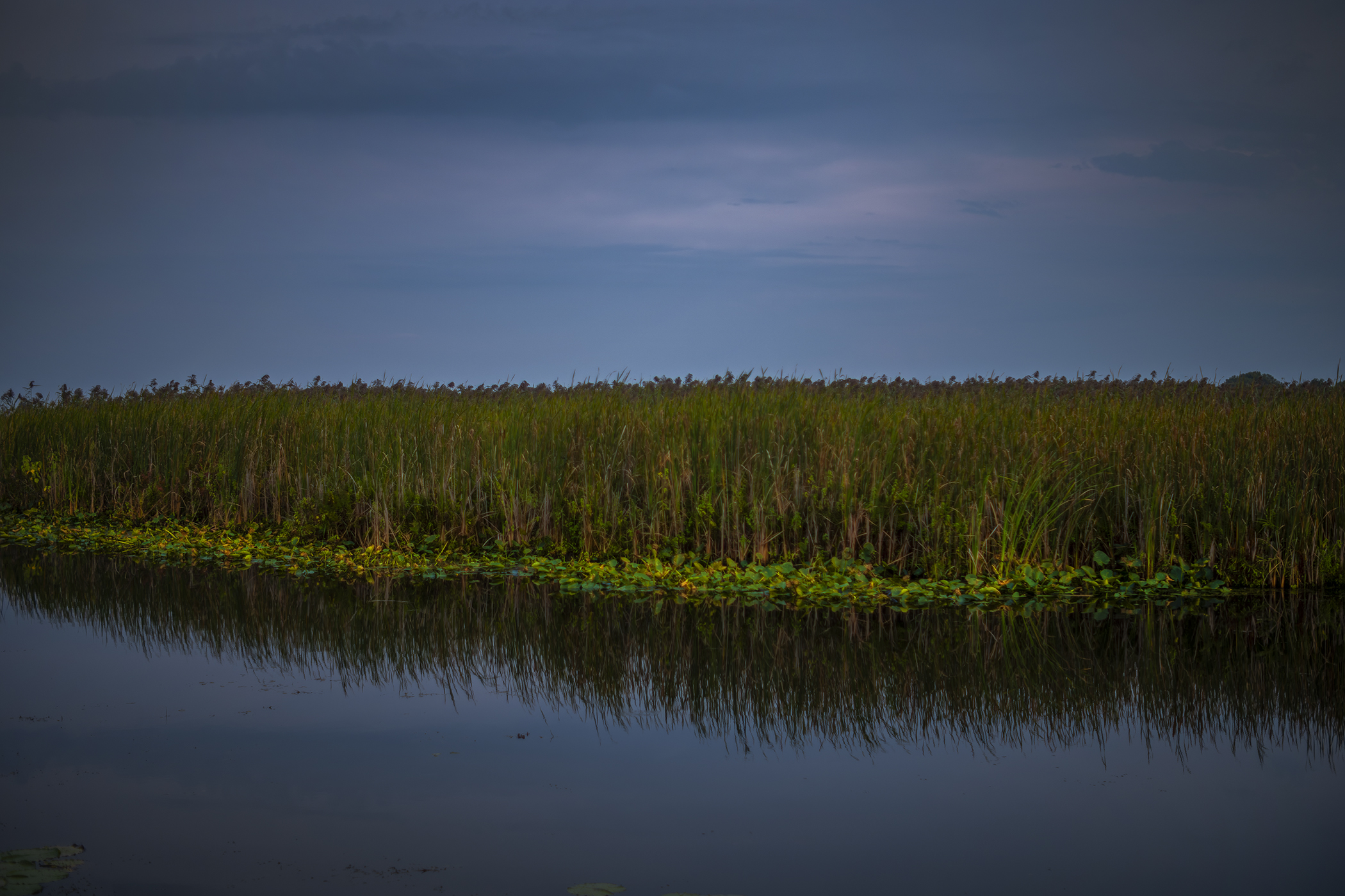
The Marsh Boardwalk was the best place to end the day; the late afternoon light was perfect after a brief but vigorous rain shower and there was a remarkable variety in the views that wasn’t obvious at first from the view over the marsh from the observation tower. It’s a long but worthwhile day trip from anywhere in southern Ontario or across the lake, and if you can’t drive there just check the Park Bus site for trips to the Point whether it’s butterfly season or not.
Photos and story © 2026 Rick McGinnis All Rights Reserved

