LEAVES TURNING MEANS THAT FALL IS ALMOST OVER. At least it does in this part of the world, where winter is generally longer than advertised, sprawling into autumn and spring on either side of its already-too-large seat. Intent on enjoying every day of livable weather before cold and lockdown force us all back inside, I headed for the West Don River to where it meets the main river, before taking a detour east along another of the Don’s tributaries.

E.T. Seton Park begins just south of Eglinton Avenue East, a well-used network of paths and trails full of walkers and cyclists on a sunny Saturday. It’s named after Ernest Thompson Seton, a writer and artist who became one of the founders of the Boy Scouts of America. Born in England and raised in Toronto, Seton found refuge from his abusive father as a boy in the woods of the Don Valley.
It was the beginning of his industrious and lifelong committment to bushcraft and nature, which was hastened when his father presented him with a bill for the expenses of his upbringing on his 21st birthday, including the cost of the doctor who delivered him. Seton died in a New Mexico town named after him in 1946, and along with the park that bears his name, it’s satisfying to know that he’s remembered by posterity despite his father.
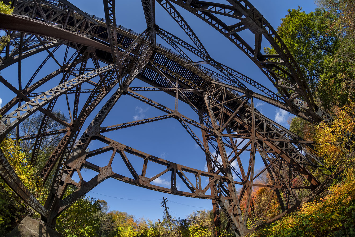
The upper part of the park is crossed by a massive steel trestle bridge, built in two phases by the Canadian Pacific Railroad in 1884 and 1914. It’s actually two bridges, built with intertwined supports and foundations, that dramatically traverse the park high above the West Don and the trails.

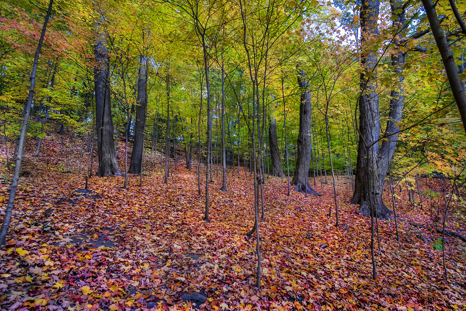
The trails in Seton Park run in a loop on either side of the West Don, with dirt paths next to the river that were full of cyclists. The park and the river here are well-groomed; there are equestrian trails, a disc golf course and an archery range – a fully-featured public park that just happens to be home to a scenic river.
These public green spaces are probably Toronto’s great success story – an amenity borne out of necessity that have been managed beyond expectations. To really enjoy what approaches wilderness, however, it’s best to leave the paved paths and stick close to the riverbank, even if that means dodging spandex-clad trail bikers who, for the most part, are polite enough to let you know how many to expect as they whiz past through the trees.

Near where the West Don meets the main river, on either side of the Don Valley Parkway, are a set of sculptures in two pairs of three – vaguely anthropomorphic shapes crowned with trees and vegetation. An environmental art installation created by Noel Harding in 1998 and sponsored by Canadian Plastics Industry Association, they’re huge planters built from waste plastic, with pumps powered by solar panels that filter river water into what’s basically a contained hydroponic ecosystem. They’re called Elevated Wetlands, but I’ve always referred to them as the Elephant Pants for reasons that are, I think, obvious.
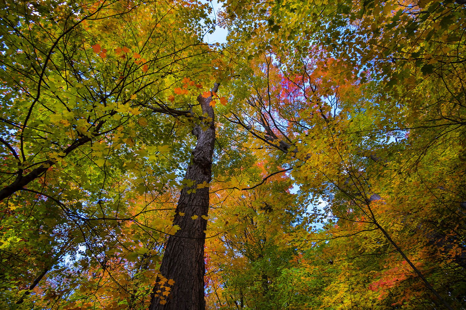
The Don Trail continues south from here, past Crothers Woods and the Evergreen Brickworks, but I decide to detour east, to where Taylor Creek – also known as Taylor-Massey Creek, and once known as the East Don, Silver Creek and Scarboro Creek – empties into the Don. Activity on foot or wheels is a little more muted but still frequent along this trail, which passes through the most vivid patches of autumn colour I’ll see this weekend.
Like nearly every other waterway in the city, it has to be remembered that the wilderness we find along the paths and banks is fairly recent – a re-naturalization of land that had once been infrastructure. Creeks like the Taylor-Massey have been buried all over Toronto to the west of the Don, and those that weren’t were, for decades, treated like simple storm water, drainage and even sewage channels.

The names of the creek are a legacy of their history. The Taylor family owned the brickworks nearby, and made their fortune building Toronto. The Masseys were even more illustrious, a dynasty that dominated political, business and cultural life in Toronto and elsewhere for generations. They made their millions with the Massey-Harris tractor business, producing along the way a Governor-General and a Hollywood actor. Their name still adorns a concert hall and a college. (Their partners, the Harrises, produced a painter among their heirs – Lawren Harris, who would make the Canadian wilderness his subject as part of the Group of Seven.)

Much of the land on either side of the creek was once part of the Goulding Estate, parkland and farms owned by the Massey family. The Massey mansion, just off Dawes Road north of the creek, is still standing, now the Children’s Peace Theatre, but closed for the moment by Covid lockdowns. It’s one of the few family legacies that doesn’t bear the Massey name.
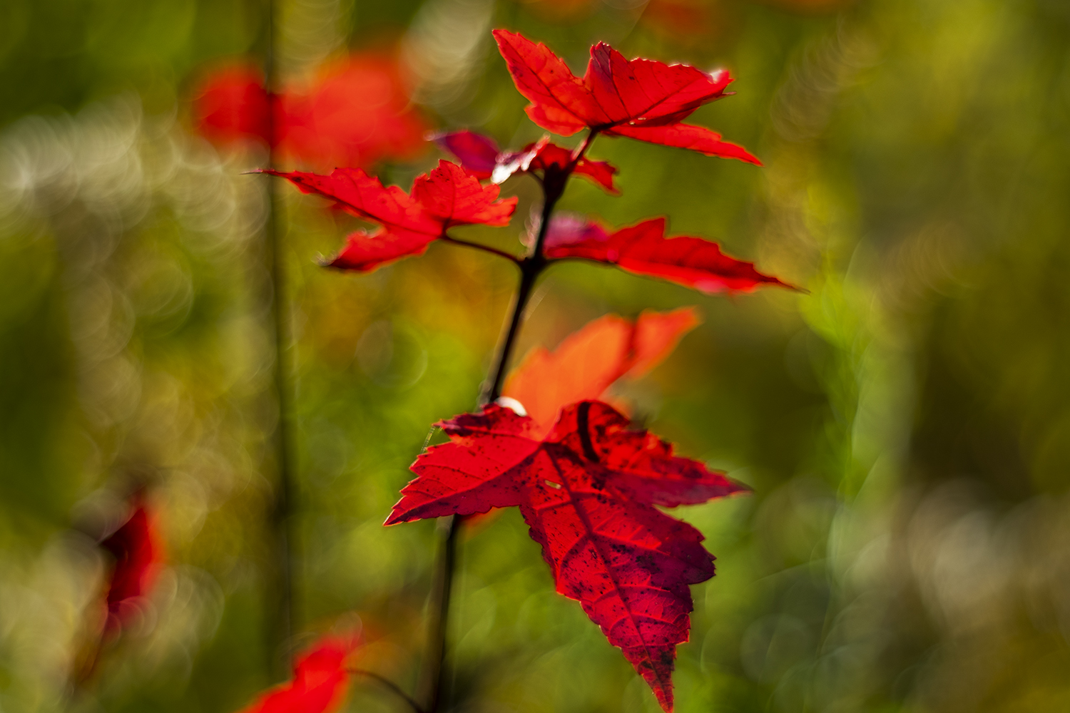


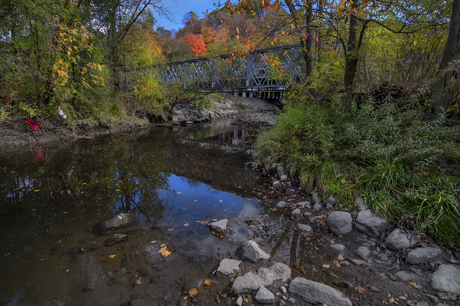
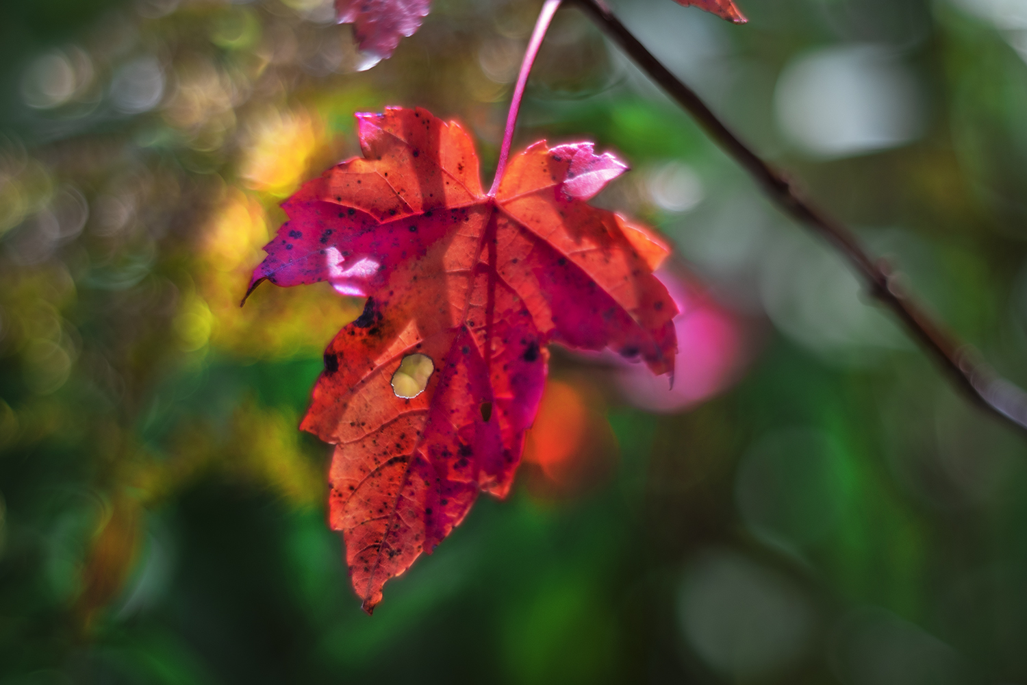
Taylor Creek and its paths and trails are closely bordered on either side by residential streets, visible when the trees are bare in the winter. It’s not exactly cramped, but the concentrated planning and landscaping gives the park and its trails a rare intimacy, especially when you cut off onto the dirt paths to get close to the creek and its many little rapids. The colouring leaves, backlit by the afternoon sun, and the now-dry heads of wildflowers like Queen Anne’s Lace, are rich with a more-than-slightly melancholy autumn mood.


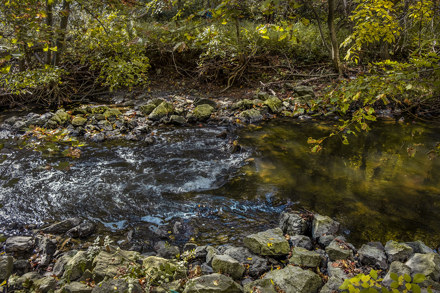
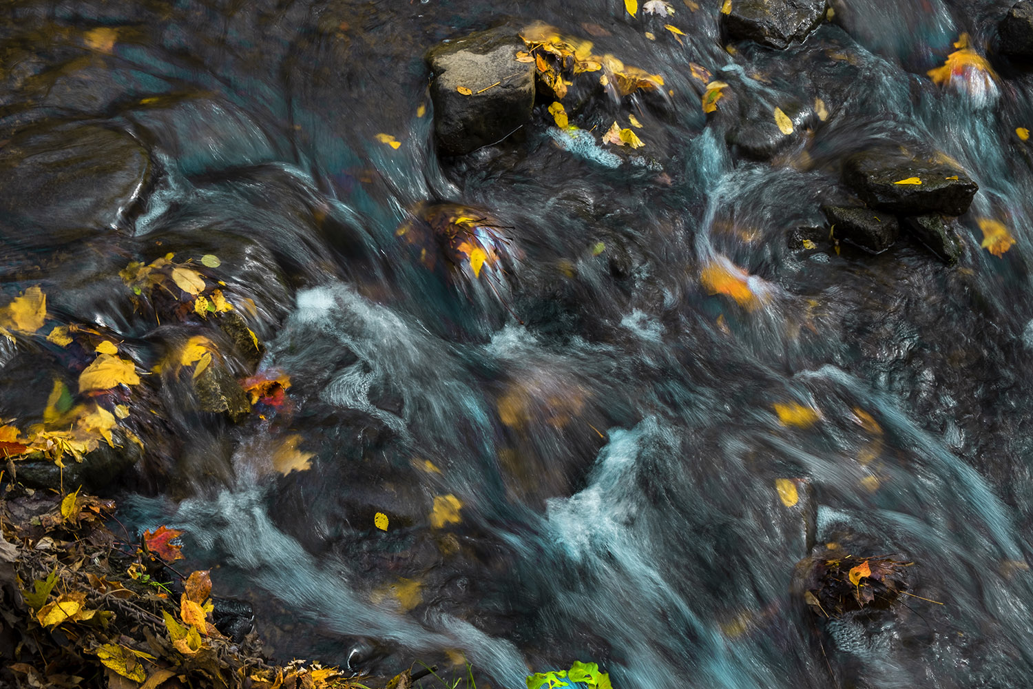
The creek runs swiftly through its banks, reinforced for much of its journey by massive blocks or gabion baskets of wire and rock. The water looks cold and clear, but it’s deceptive – the creek is one of the most degraded in the city, full of runoff from roads and highways, and the legacy of a century of diverting storm water and sewers into our creeks and rivers.


Reviving the creek has been a long process, pushed by citizen’s groups like the Friends of the Don East and the Taylor-Massey Project. A trail guide produced by the conservation authority responsible for Toronto’s waterways makes note of the ponds, wetlands and erosion control measures that have been put in place to keep the creek safe and improve water quality. Thankfully this environmental science is able to produce infrastructure that’s lovely to look at, like a wetland pond whose grasses glow green in the afternoon light, or a little pocket marsh that’s been set aside as a snapping turtle habitat.

Carpeted by leaves and filled with warm light filtering through the red and gold still on the trees, it’s easy to forget how much of a work in progress places like Taylor-Massey Creek are – or how far they’ve come. Dentonia, the Massey-owned farm that gives its name to the public golf course at the end of the trail, spread out for acres where there’s forest today, and other parts of the park on either side of the creek were once landfill. The best way to ensure the success of urban green space in a city like Toronto is to use it, and make their value as amenities rise. And they never look as perfect as they do on a bright, clear autumn day.


Photos and story © 2020 Rick McGinnis All Rights Reserved

Very nice photos. We are past peak jere in northern New England. It was early this year and very fast because of the drought we had.
LikeLiked by 1 person
Autumn was a bit late here, and thanks to the rain seems to be holding on. But the inevitable is coming, and I’m dreading winter (again.)
LikeLiked by 1 person
Fabulous shots and story behind the area.
LikeLiked by 1 person
[…] Wilket Creek ends quietly, draining into a bend in the West Don River, underneath a low roadway bridge by the public washrooms, near the Leslie Street entrance to the park. I didn’t even notice it was gone until I found myself at the end of my hike, walking next to the Don where it passes under the deep shadow of the Eglinton Street East bridge, not far from where I started another hike a couple of weeks before, chasing fall colours down the West Don to Taylor Creek. […]
LikeLike