THERE’S A TRADITION IN TORONTO TO FEEL SORRY FOR THE DON RIVER. The Don is the most important of the three rivers that run through Toronto, and as a result it’s the most abused – a waterway that was declared dead fifty years ago, having been used as an open sewer for a century before that. We’ve been feeling guilty about that for a while, and work is always being done to try and “bring back the Don,” though the results are finally being seen.
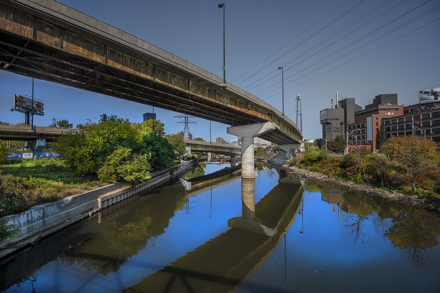
My hike up the Don begins near where it meets Lake Ontario – the river most Torontonians see, glimpsed out of the window of a train or a car as it passes over one of the many bridges that cross the Don between the harbour and Bloor Street. This isn’t even where it originally met the lake – that point has been moved twice now, when the river’s last mile or two was straightened and its banks pinned down with walls of steel and concrete.
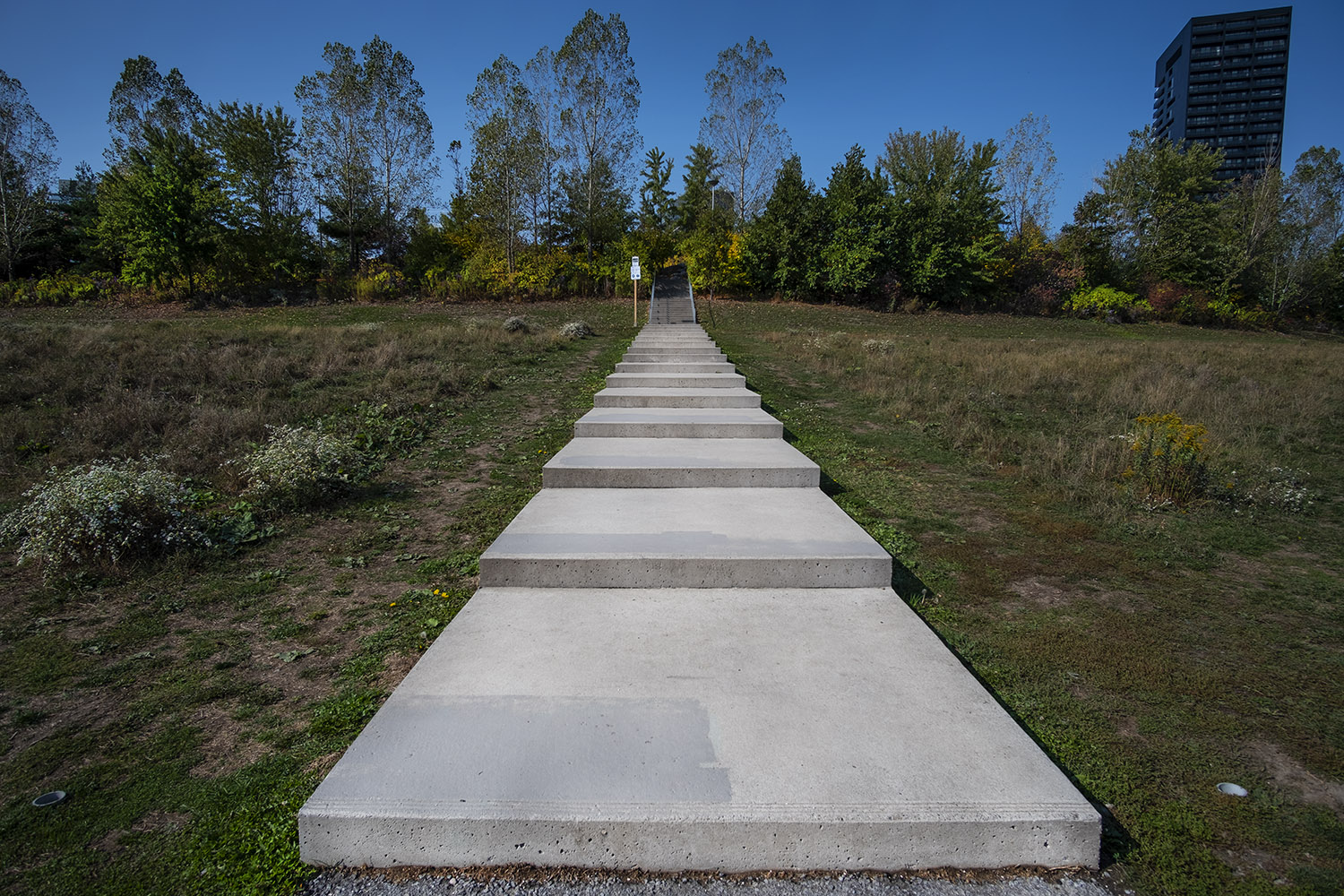

There’s a trail along the Don now – something that would have been unthinkable thirty years ago, when it was considered both dirty and dangerous. No one used to live down here, but now thousands of people do, and the city has put access points from new neighbourhoods like Corktown Common to make the Don trail convenient for cyclists and runners. It’s a very busy trail, and walkers have to keep their eyes and ears peeled for bikes in front and behind them.
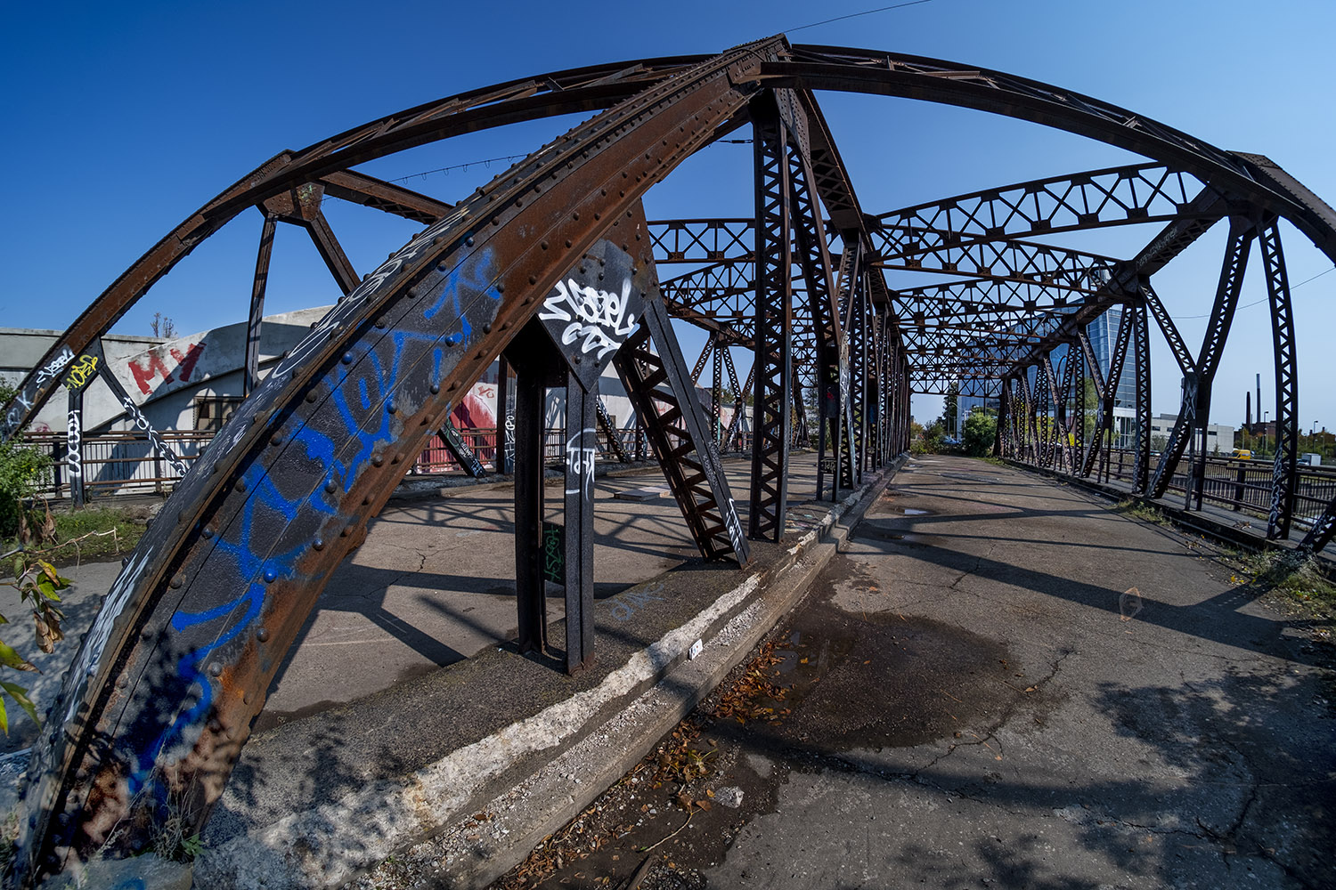
There are so many bridges over the Don down here that some of them are surplus, like the old Eastern Avenue Bridge, a steel truss structure built in 1933 and closed off in 1964 after the construction of the Don Valley Parkway, the highway that hums away on the other side of the Don. It gets fenced off occasionally, but right now the fencing has been pulled aside and it’s a much-used selfie stop on the trail.

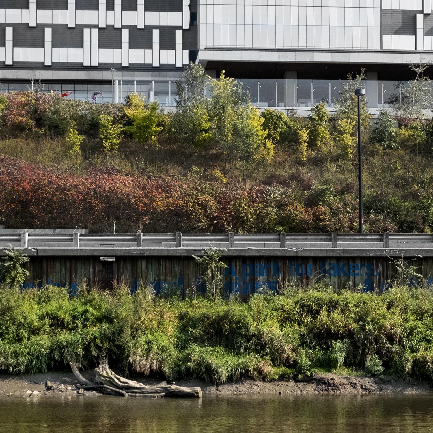
This is the saddest part of the Don, an old river that should meander, but spends its last surge between grafitti-covered steel banks. A long-deferred project to restore the wetlands at the river’s mouth has finally begun, but it’s hard to imagine how over a century’s efforts to tame the Don will be undone down here, where the Don runs closest to the city.

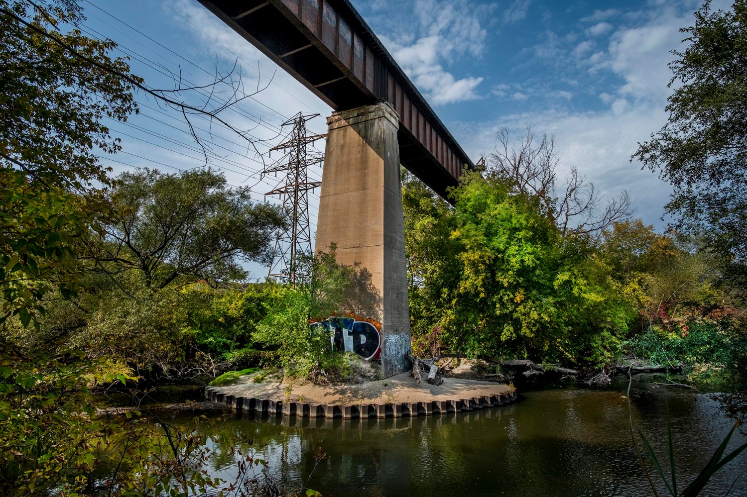
For much of this stretch the Don and its trail are bounded by the DVP on one side, Bayview Avenue and a railway corridor on the other. Just north of Gerrard Street the river is allowed to curve westward, where it’s crossed by a rail bridge currently occupied by a disused Canadian Pacific Railroad spur line. You need to leave the trail to find it, but you’re not the only one looking because the worn dirt path through the trees is easy to find. This set of tracks, unused since 2007, is currently owned by public transit corporation Metrolinx, who have some vague plans for it. We’ll see them again on this hike.

The path takes another bridge to cross over to the eastern bank of the Don here, and this is where the old river slowly starts to transform back into its old self, just as the Don River Valley starts to widen out. This is also where mills and industry once colonized the banks of the river, during Toronto’s first century of settlement, leaving traces that are still visible but much softened today.
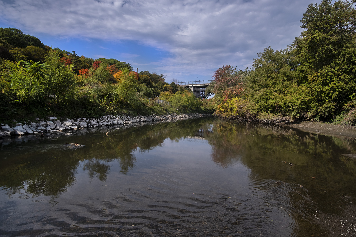
Follow another dirt path off the trail and you’ll get a glimpse of the Don with at least one sandy bank, wide and slow, with trees and not overpasses casting shade on the water. The Anishinaabe name for the river was Wonscotanach, and it’s easy to see here why it would have been important for hunters and settlers going back twelve thousand years.

The path here moves away from the riverbank as it crosses under the most epic of the bridges crossing the Don. The Prince Edward Viaduct, opened in 1918, rises 131 feet over the floor of the Don Valley, seven graceful steel arches between concrete piers, carrying both Bloor Street and the subway over the river. It’s become a big part of the city’s mythology, appearing in books and movies; it also once held the distinction of being the second most fatal bridge in North America after San Francisco’s Golden Gate, a magnet for suicides until the construction of the Luminous Veil, an art installation made of illuminated metal rods that was finally finished in 2015.

Just north of the viaduct is another art installation, the beginning of a public art project in the Don Valley. Scattered on the grass next to the trail, just by where the city used to dump snow and ice cleared from the streets during the winter, is a collection of gargoyles cast from stone sculptures currently decorating Toronto buildings like the Royal Ontario Museum and the Hockey Hall of Fame.
Duane Linklater, an Omaskeko Cree artist, calls this striking installation Monsters for Beauty, Permanence and Individuality, and describes it as a meditation on heritage and legacy, and how apparently solid and permanent structures can become ruins in a city like Toronto. It’s a very pointed echo of Guild Park, and one of the smartest public art installations I’ve ever seen in this city. Try to see it soon, though – it’s only scheduled to occupy this site by the Don for another two years.
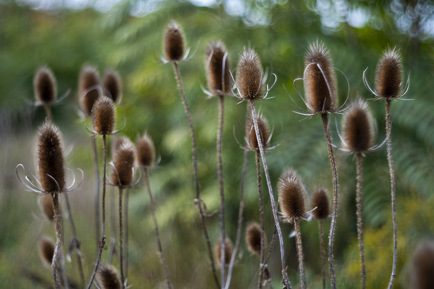


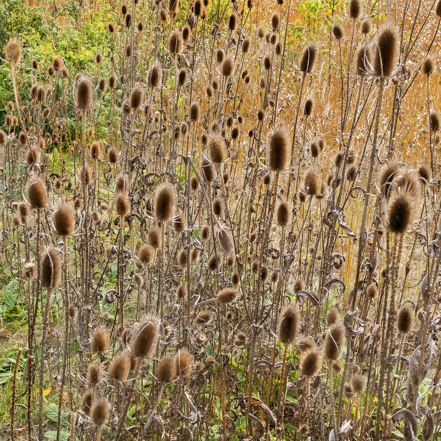
This is also the point where the Don starts to look like a real river again, with banks wide enough for trees and plants and marshland. It’s early autumn now, and the only colour is the yellow of the tansy and goldenrod and the first leaves turning red in the sumac groves. Real effort has been made to make the Don a public space again as industry and city infrastructure have retreated from the Valley, and the results are finally showing.


The Don Valley will probably always be a thoroughfare, and it’s safe to say that the rail tracks, roads and parkway aren’t going anywhere soon. The city and the river collide here constantly, like where that abandoned CPR line crosses the Don over the Half Mile Bridge (photo at top.) It’s an edgy, nervous way to take in nature, probably best suited to urbanites, which is I suppose why I enjoy places like the Don River so much; you’re always aware of imminent change, and how one spot can transform from forest to factory and then back again.
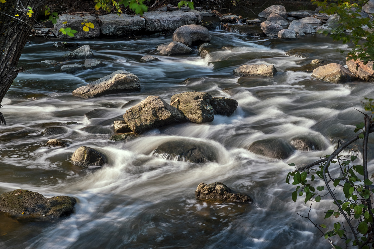
The river rejoins the trail by Half Mile Bridge, and passes over a series of rapids, on either side of Pottery Road, south of the fish ladder – the existence of which is proof of the success of the revival of the Don. Fish life in the lower Don was pretty much extinct by the late ’60s, but there are actually people fishing the river on the day I hike through, angling not just for hardy river fish like chub, dace and suckers but for the salmon that have made their way back up from the lake.

It’s hard to believe that the river you can see here, cutting along paths through the trees, is the same sluggish, walled-in, occasionally sulfurous one an hour’s walk downriver. If you ignore the parkway a hundred metres away, or the cyclists roaring down the path just through the trees, this could be a pastoral view on any old river valley miles from any town or city.
I detour off the trail here and into a forest area nestled into a curve of the Don. The trees in the Cottonwood Flats are glowing yellow in the afternoon sun, next to a path that leads to a woodland called Sun Valley. With the sun just over the top of the valley it’s a well-named spot, but that name doesn’t come from the quality of light but from the brickworks that once operated here, quarrying deep into the ground next to the Don. Landfill and landscaping has mostly erased its traces now, but it’s worth remembering that at its industrial peak, this stretch of the Don was home to mills and brickworks, multiple landfill and dump sites, a garbage incinerater and over thirty sewage treatment plants.

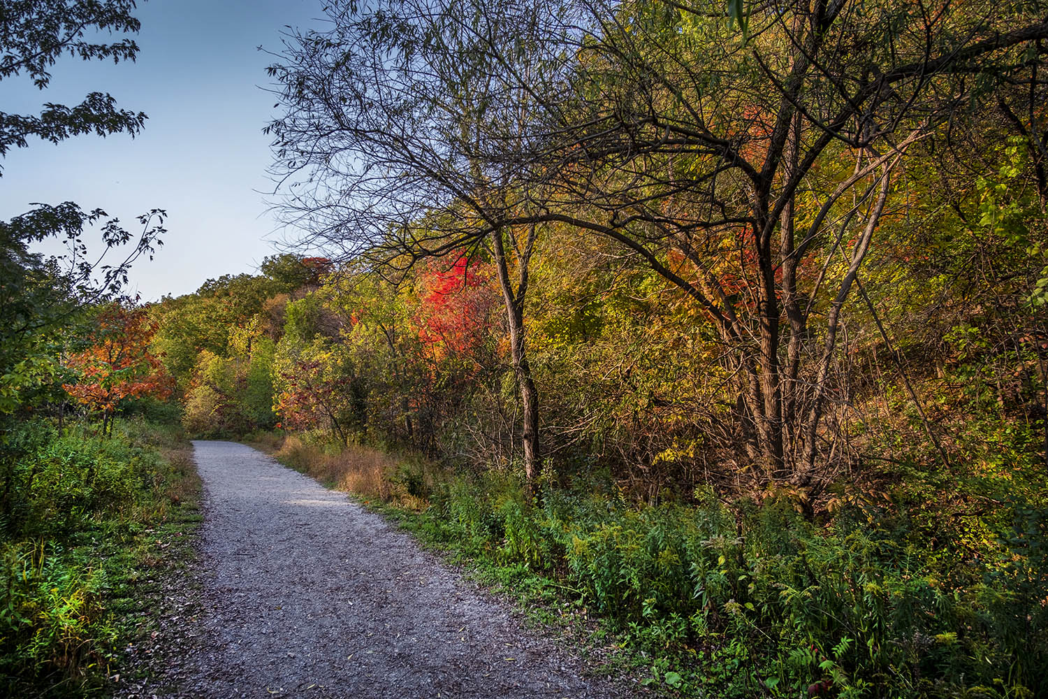
Surrounding the Cottonwood Flats and Sun Valley is Crothers Woods, which gets its name from a heavy machinery manufacturer that had its facilities nearby. The trail through the woods here is a dirt track that hugs the edge of the valley, much used by trail bikers who lobbied for its creation and maintenance.
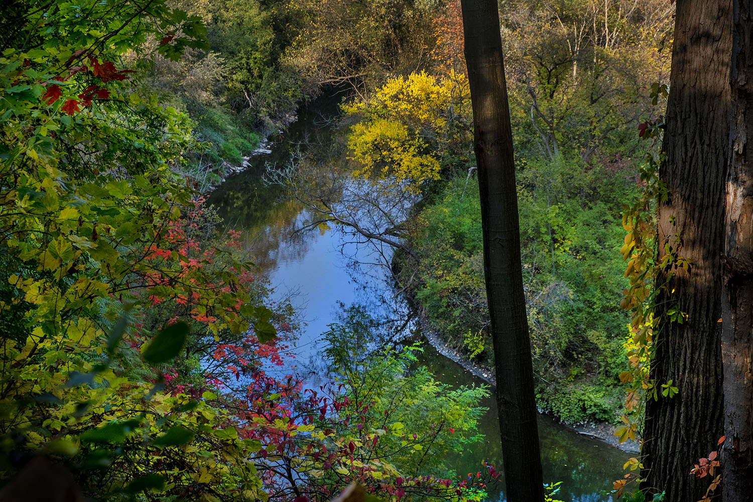
You can see the Don through the trees, curving through the bottom of the valley, looking serene and unmolested – as close as we can imagine it today to the river seen by First Nations hunters or early settlers. It looks lovely from here, but it makes you pity the river, knowing what’s in store for it just a mile or two downstream.

The path through the woods here is quite steep, and occasionally you have to keep your eye out for a spot to move to when a cyclist comes through, carefully picking their way between the trees. High up on the valley wall the trees are turning much quicker, and the path is littered with falling leaves, but you’re never far away from a nearby rail corridor, streets of homes in nearby Leaside, or rushing cars on Bayview Avenue.

The old Don Valley Brickworks, the source of much of the building material for Toronto, has been landscaped, renovated and repurposed into the Evergreen Brickworks, a complex of event and market spaces, restaurants, stores and workshops, the keystone for the ongoing restoration of the Don River Valley. I backtrack past Pottery Road and head to the Governor’s Bridge lookout to catch the sunset and discover, just off the path, the old CPR rail line again, just after it makes its way over Half Mile Bridge, north to where it once stopped at long-gone Leaside Station, where my dad once caught the train to Ottawa and his RCAF base during World War Two.

The sunset is slow from the lookout over the Brickworks, blushing slowly to a pink glow. The city, studded with its now-customary construction cranes, is a cool blue range of skyscrapers, the newest of which threaten to block the CN Tower from view one day. I have a hard time recognizing my city lately; its skyline has changed dramatically from the more modest one I remember as a kid, though that kid would have a hard time imagining how the dirty Don River might one day begin to run again through a forest valley.


Photos and story © 2020 Rick McGinnis All Rights Reserved

Great post Rick! A long walk home.
LikeLiked by 1 person
[…] Don Trail continues south from here, past Crothers Woods and the Evergreen Brickworks, but I decide to detour east, to where Taylor […]
LikeLike
[…] both hug the sides of slopes where the Rosedale Ravine meets the Don Valley, and feature steep plots full of old graves, either tumbled over or overgrown with ivy and weeds. […]
LikeLike
[…] curving lazily, through the trees. Alone among Toronto’s waterways, the Rouge has never been channeled or diverted, and is allowed to flood regularly. It also has the best water quality of all of the […]
LikeLike