I CAME TO ETOBICOKE CREEK BECAUSE I WANTED TO FLY. There are a lot of rivers and creeks with public trails all over my city – and maybe I’ll get to some or all of them if the lockdown continues – but it’s been a year since I’ve been on a plane and I’m really missing it. So I headed for a hike that began right under the runways at Pearson Airport and ended – after a few detours – at the lake.
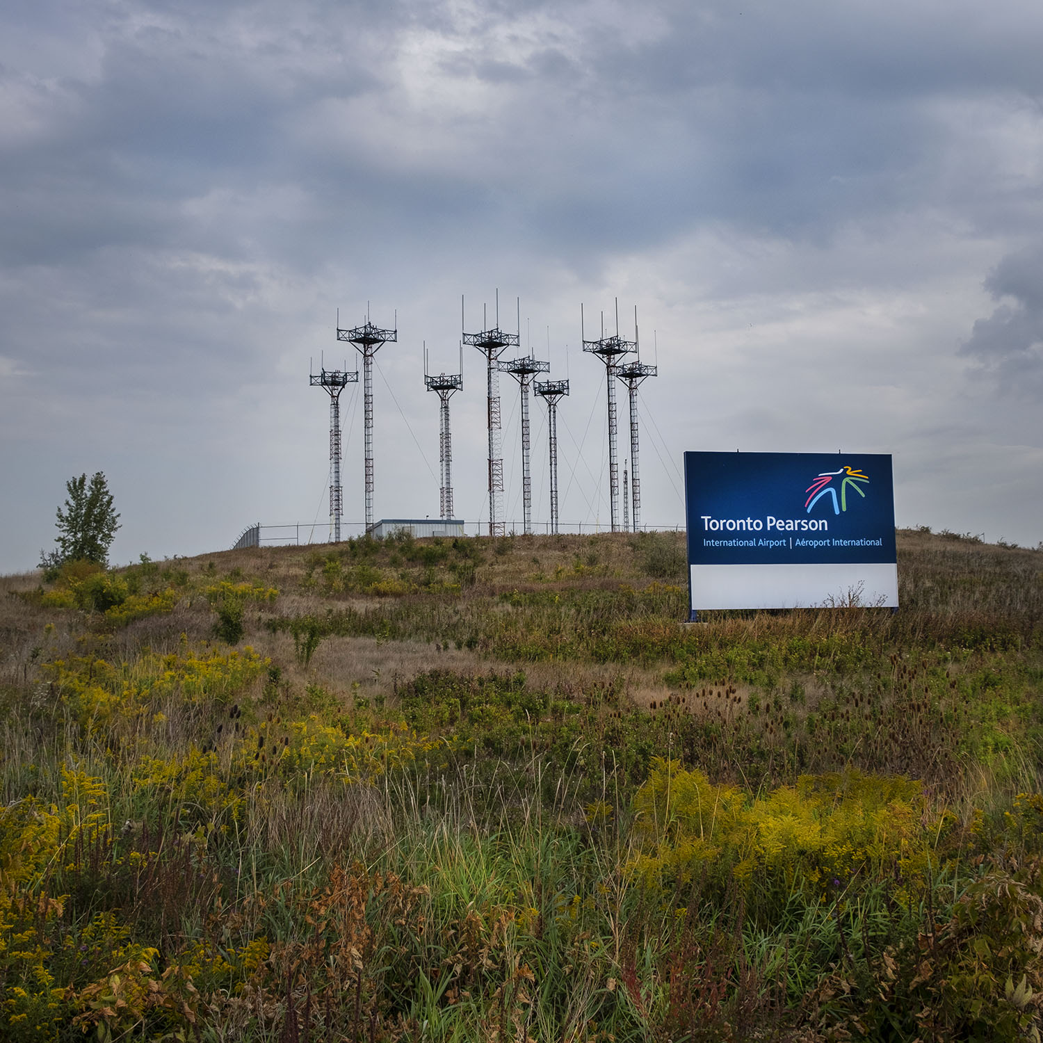
Etobicoke Creek begins in Caledon, northwest of the city, and runs for over sixty kilometres before it empties into Lake Ontario. I begin my hike over halfway downstream, at the corner of Courtneypark Drive East and Netherhart Road, in an industrial park full of warehouse buildings, roughly between runways 5 and 6. I even bring earplugs in case I found myself close to a plane taking off or landing.
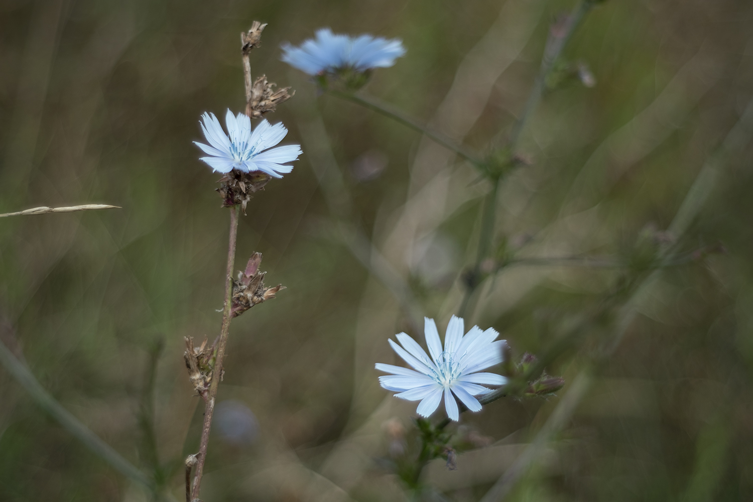
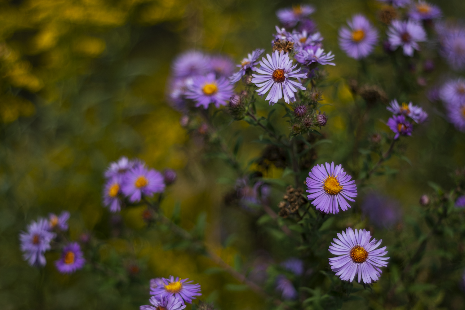
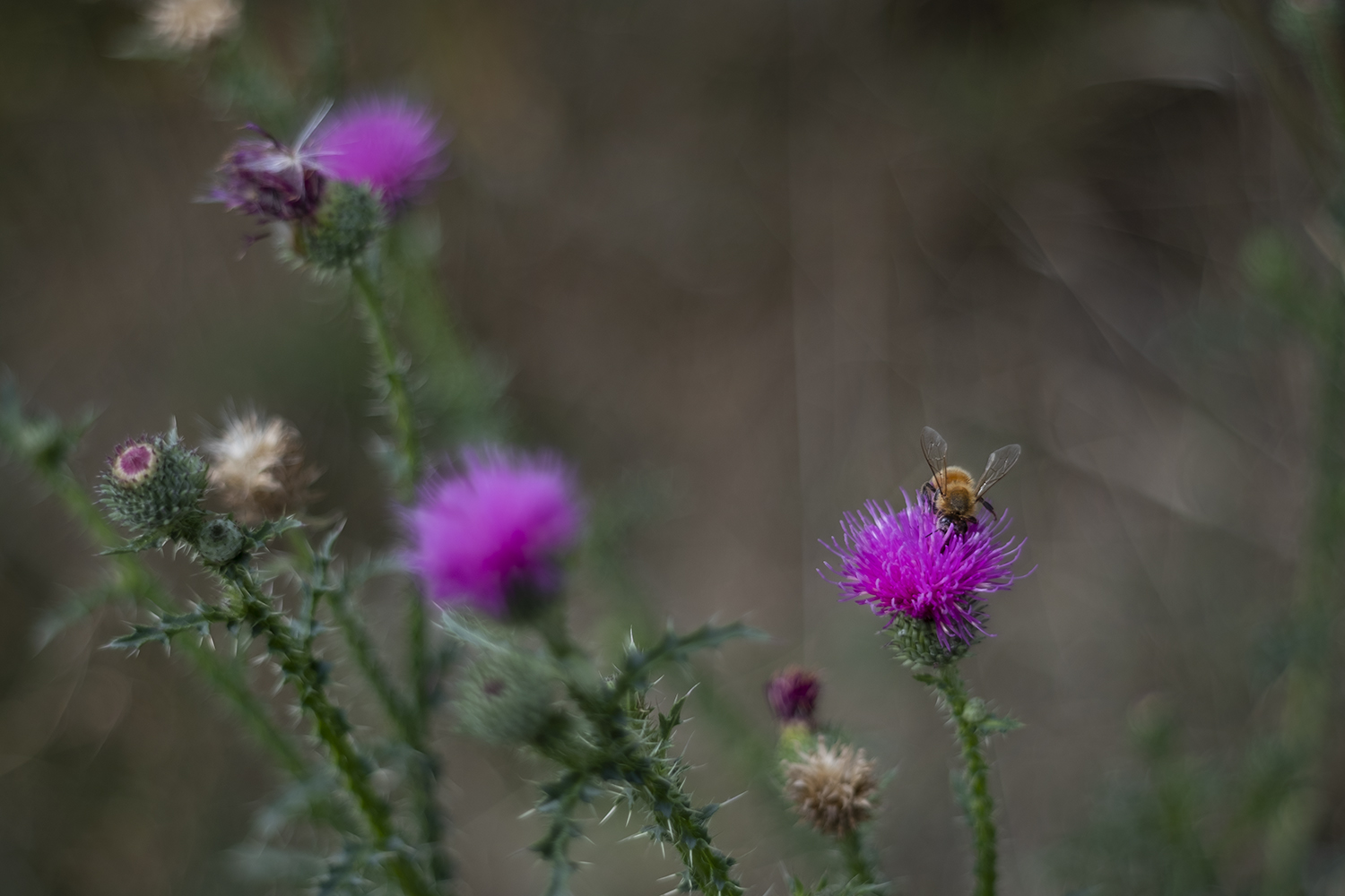
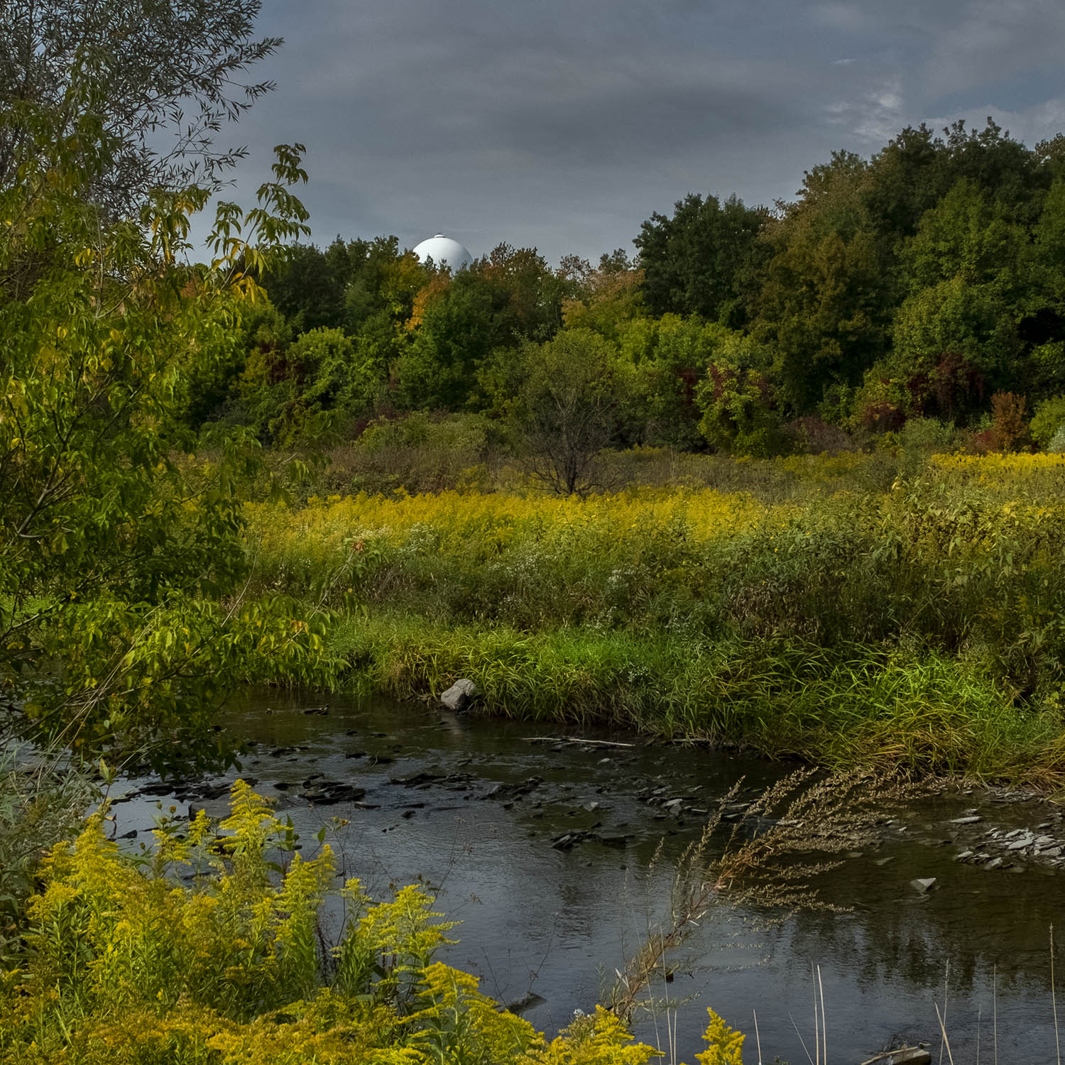
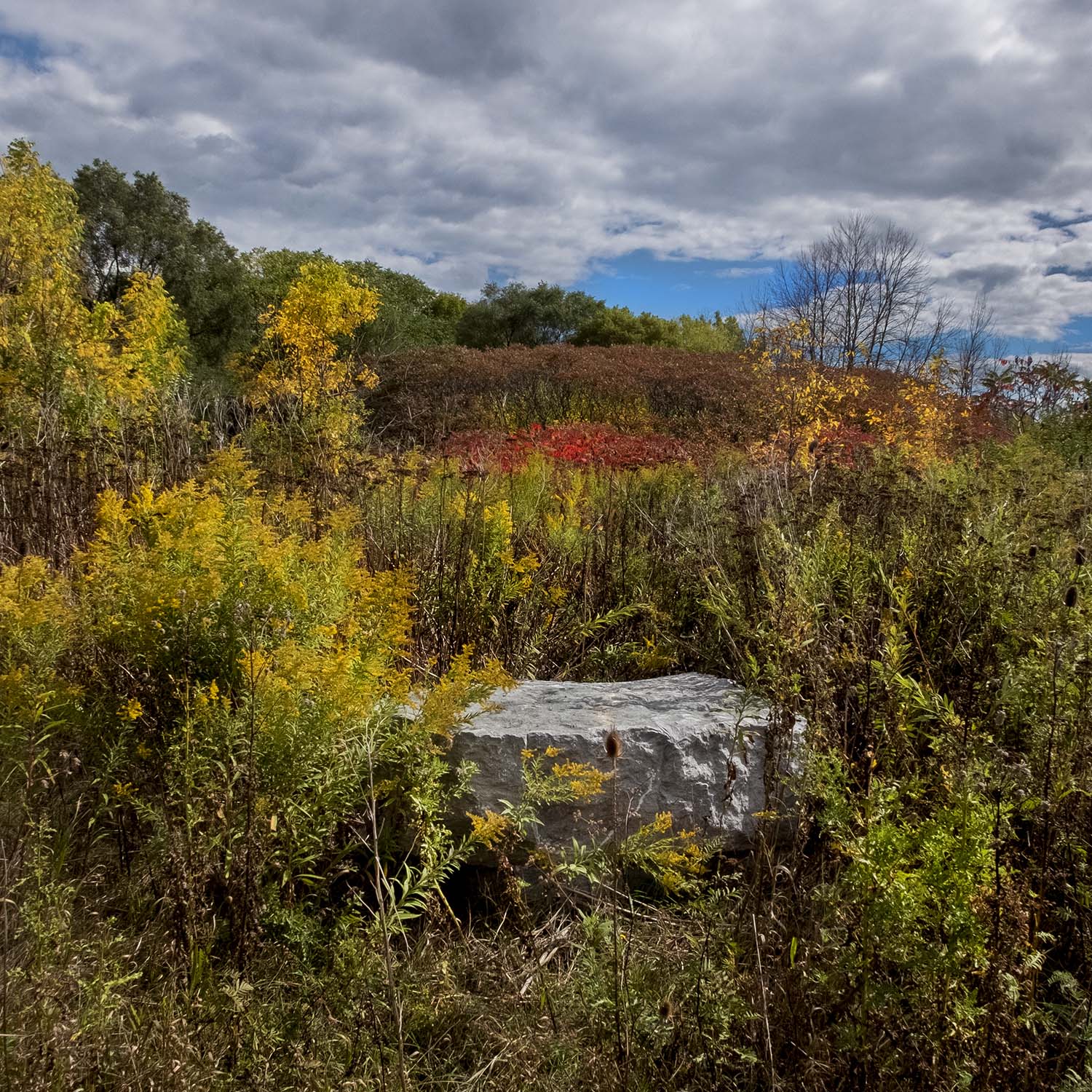
The trail is interrupted by Courtneypark Drive, and I walk north for a while towards runway 5, through an area designated as a pollinator habitat and full of late summer wildflowers – mostly tansy, thistle and goldenrod. The creek meanders through this shallow valley and past a futuristic airport radar dome. It continues, with a few detours, all the way north to Brampton and Heart Lake Conservation Area, but I turn around because my destination is far to the south.
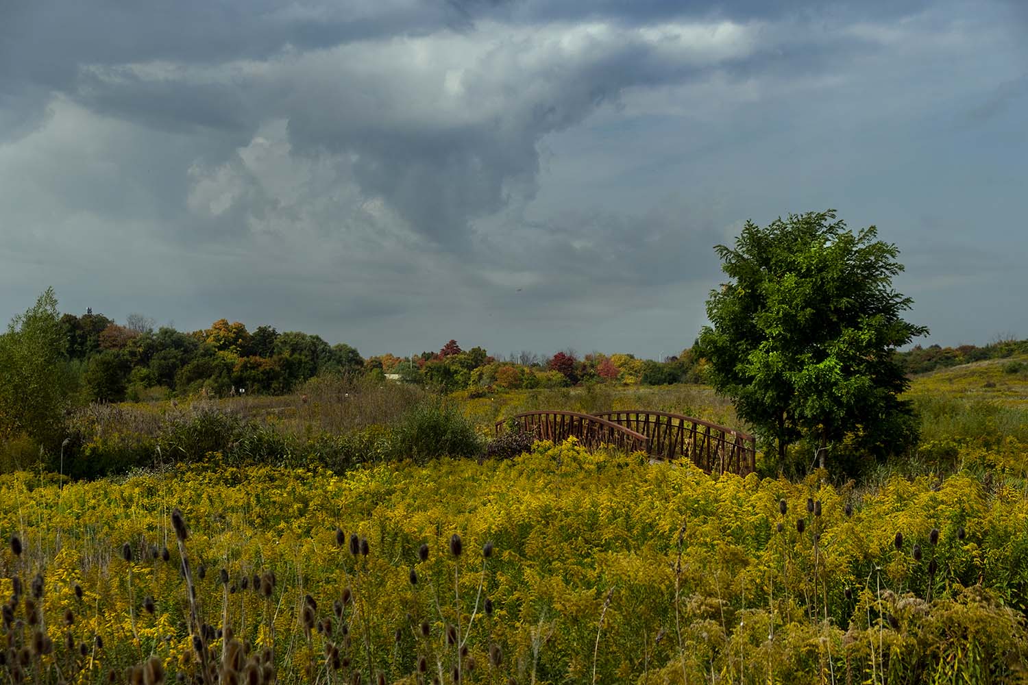
Little thickets of masts for landing lights ring the horizon as I walk along a very well-maintained path and through fields of tall grass and goldenrod. The creek meanders almost as lazily as the path, through a landscape that, for reasons of security and utility as it’s where planes can overshoot landings, seems to be maintained as a sort of savannah rather than a woodland. The creek itself is often well away from the trail, with a single bridge crossing a tributary stream. Far to the east I could see planes parked near the terminal, but I was sad that, the whole time I wandered beneath the flight paths, I didn’t see a single takeoff or landing.
Construction work under the 401 has closed part of the trail, so I end up taking a long detour around the perimeter of the airport and back to Eglinton Avenue. I make my way through Centennial Park – a huge, all-things-to-everyone city park with a golf course, cricket pitches and soccer fields and a BMX Centre – to where the creek passes under Eglinton. Before I can rejoin the trail I pass through woodland full of dirt tracks, most of which seem meant for trail bikes.
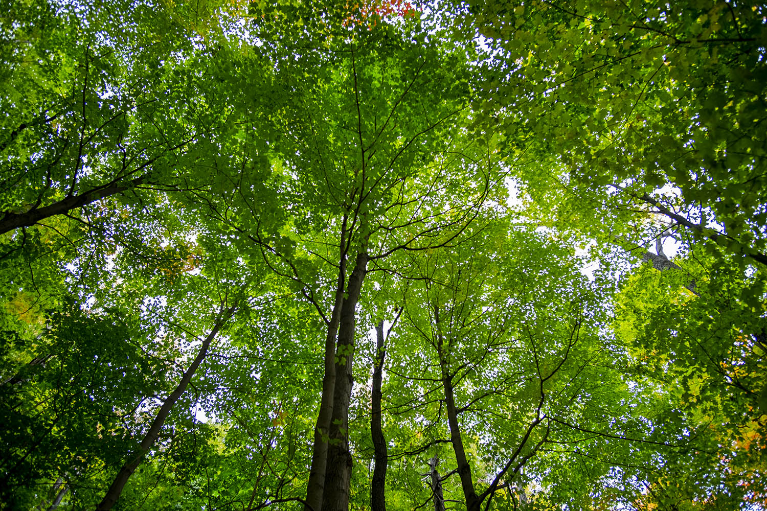
After my long detour in the midday sun, the forest here is refreshing. It’s worth remembering that most of the land around the creek looked like this once – thick forest that was cleared for farmland and then suburban development. It made sense once, but erosion led to regular flooding and after trying to control urban waterways by straightening and encasing them in concrete channels, the gospel for conservation authorities now is to try and re-naturalize watershed areas with wetlands and forested parkland.
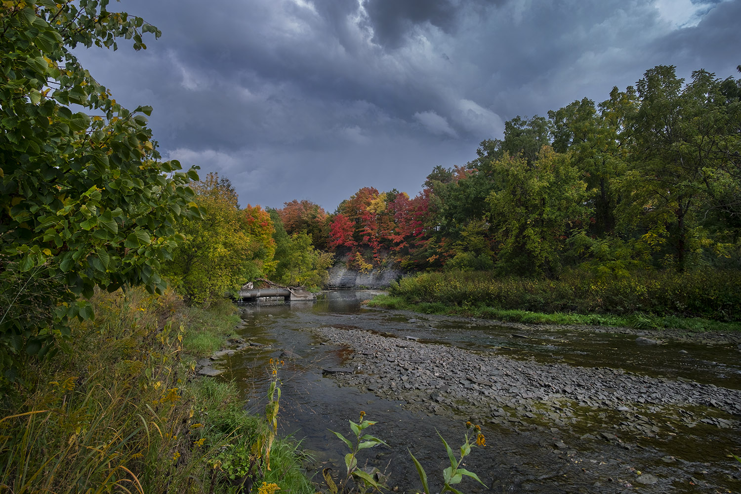
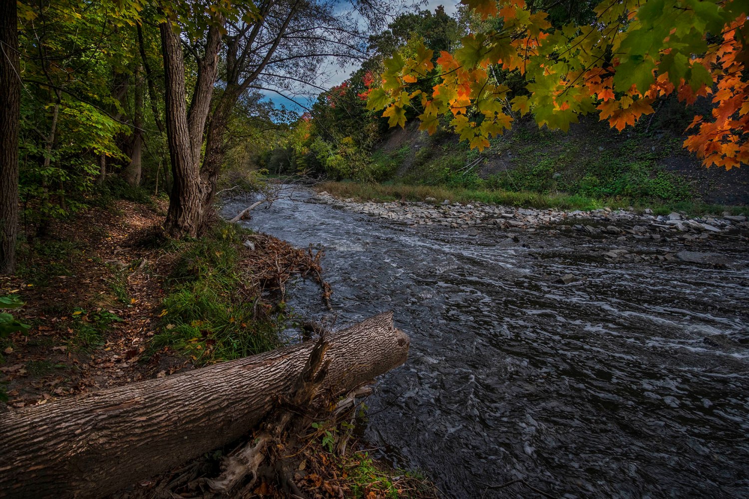
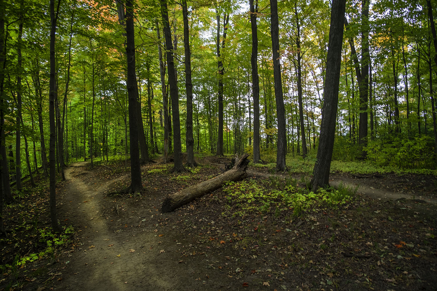
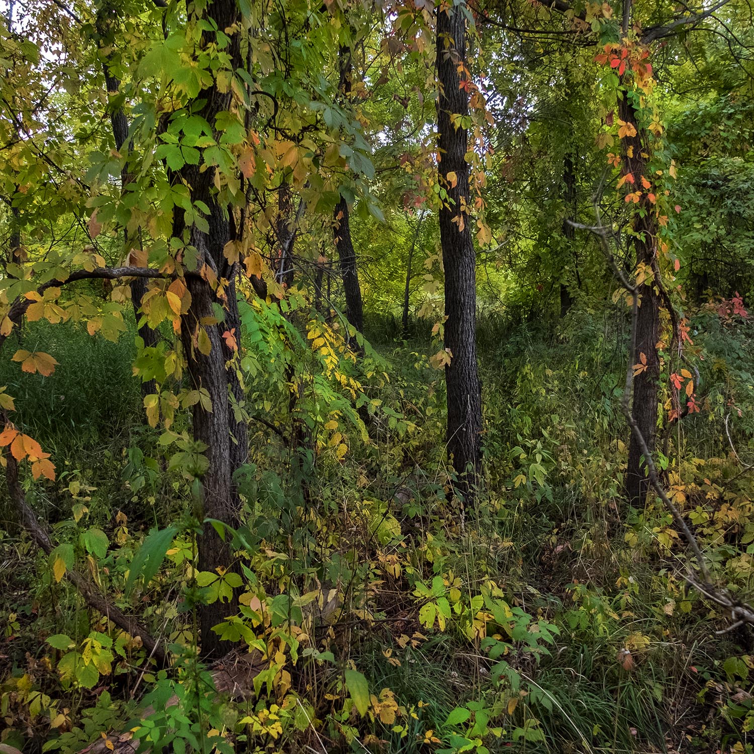
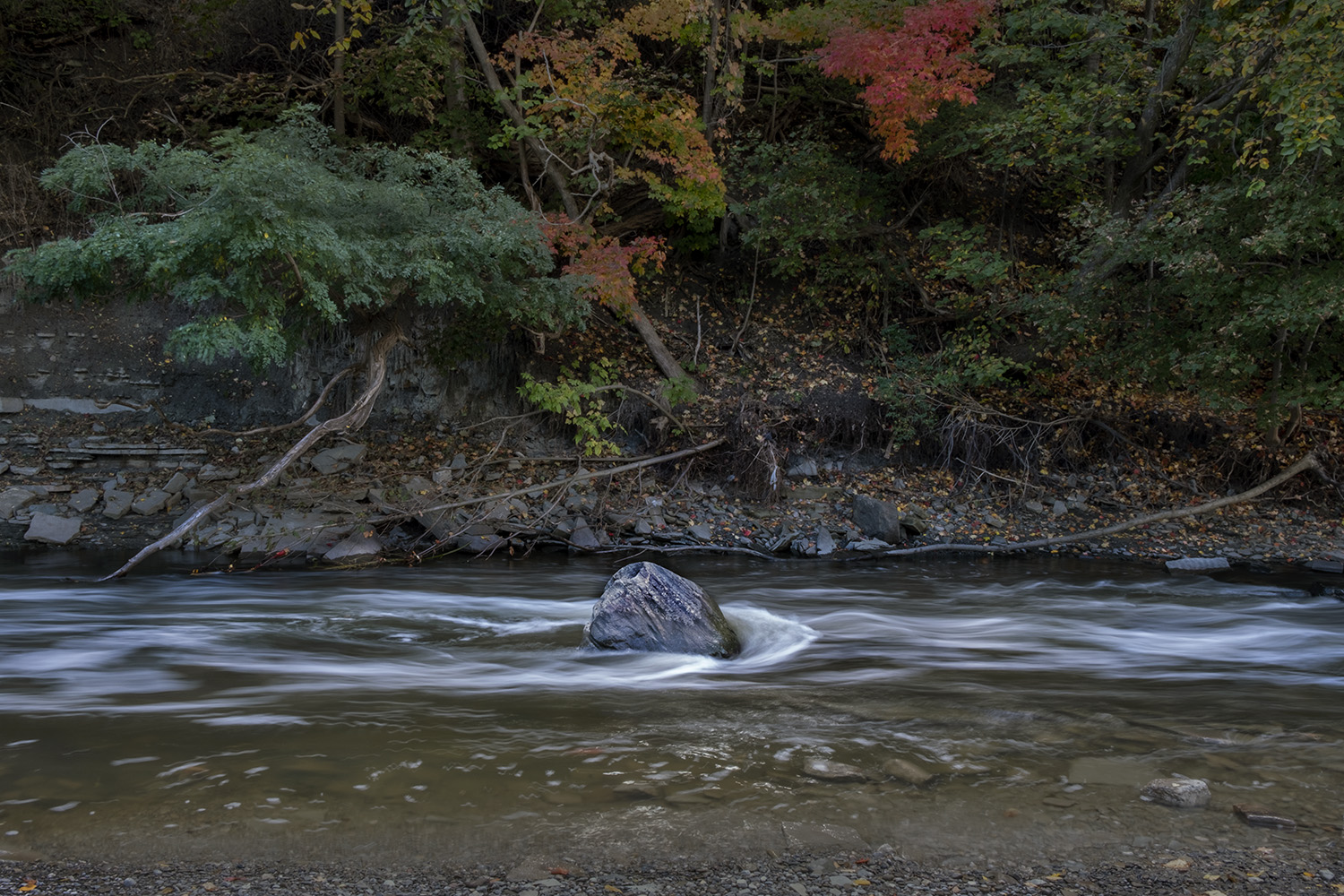
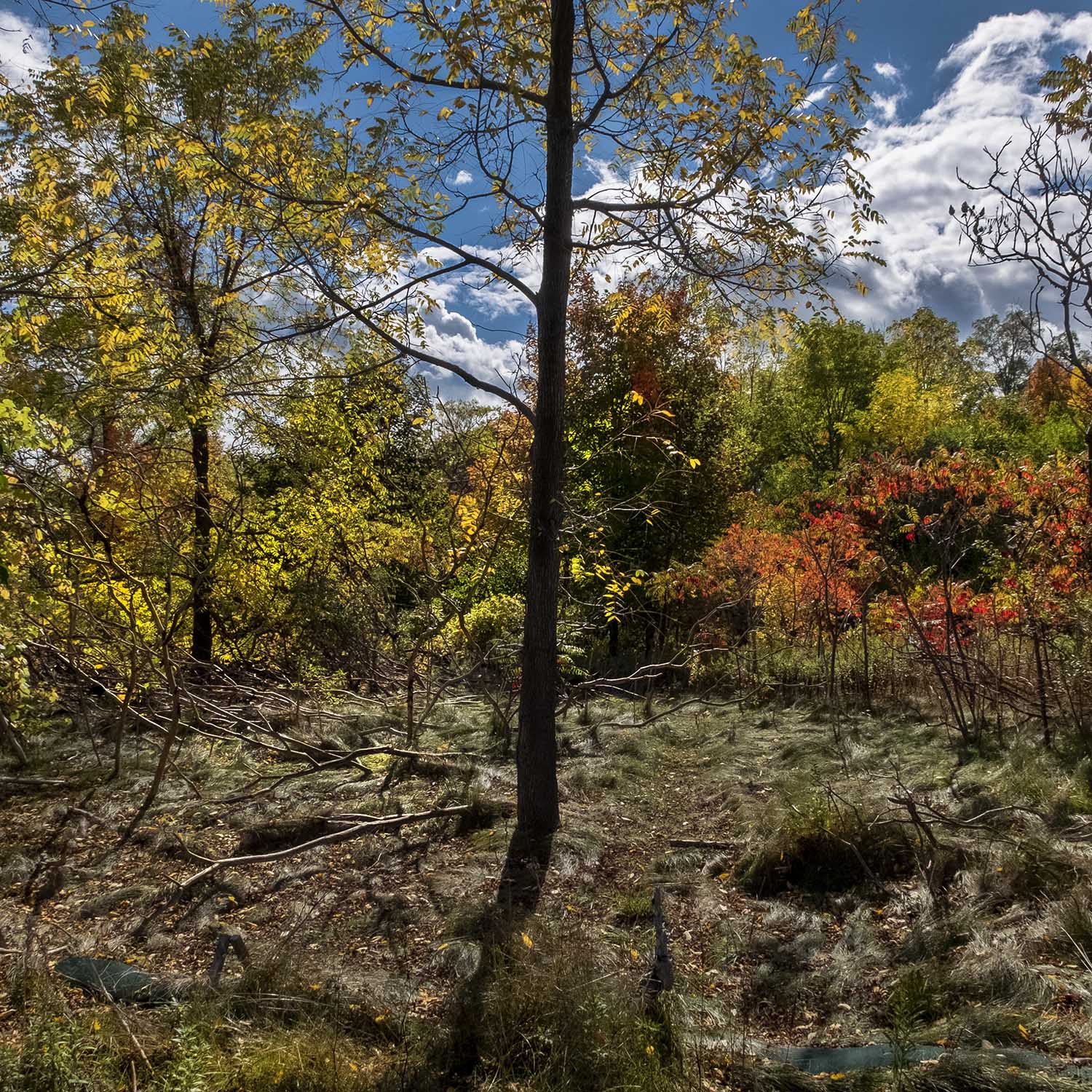
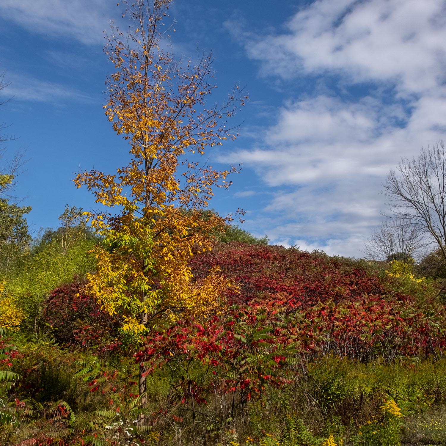
Etobicoke Creek is the natural border between the cities of Toronto and Mississauga, and I ended up sticking to the Toronto side of the water for my hike. The trail here mostly follows the creek through woodland just starting to turn colour in late September. The odd runoff pipe thrusting out into the creek is a reminder that the creek can be much less peaceful during spring thaw and after major rainstorms.
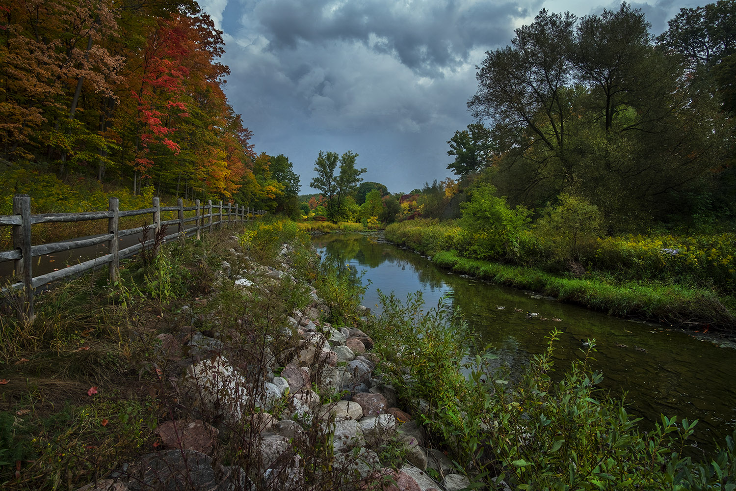
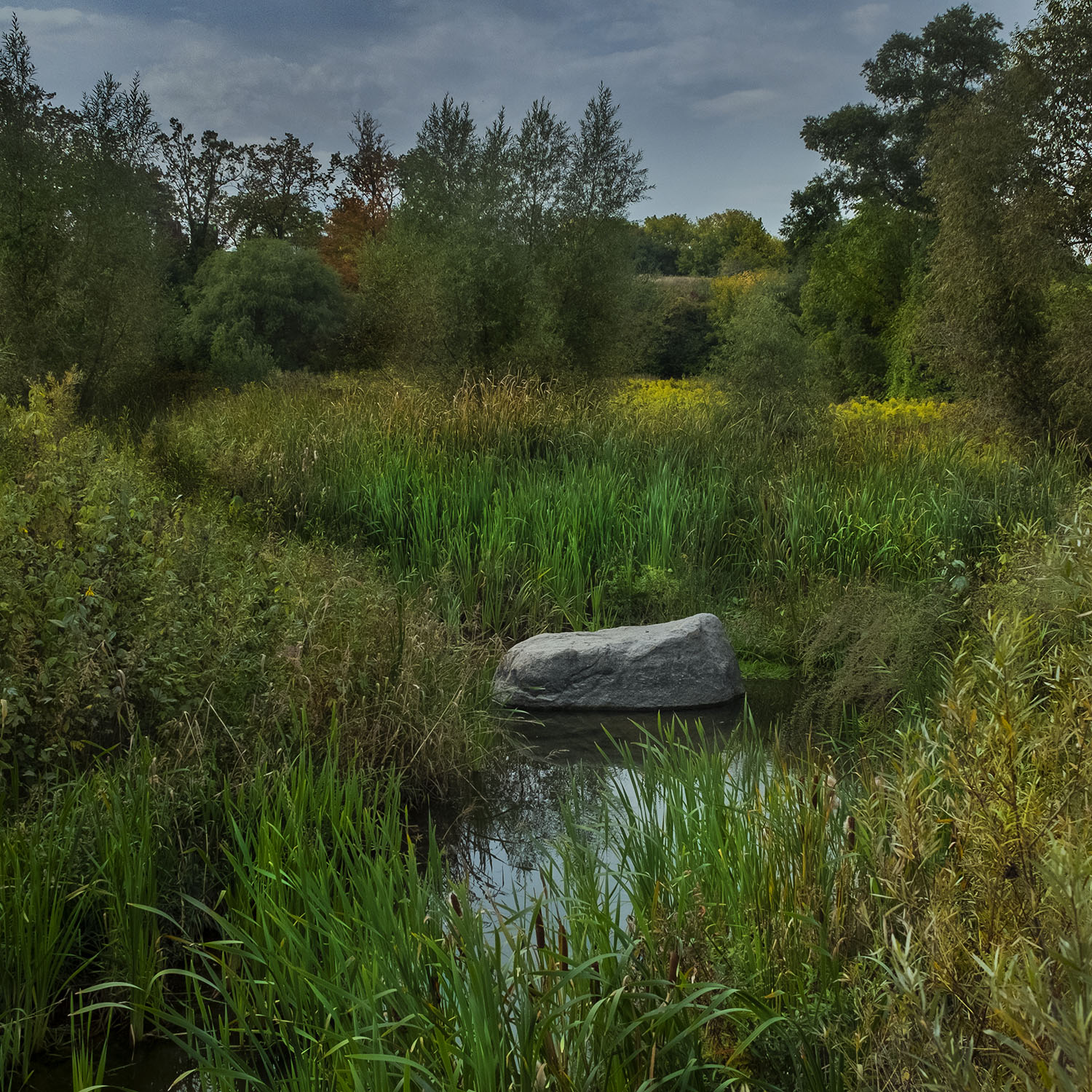
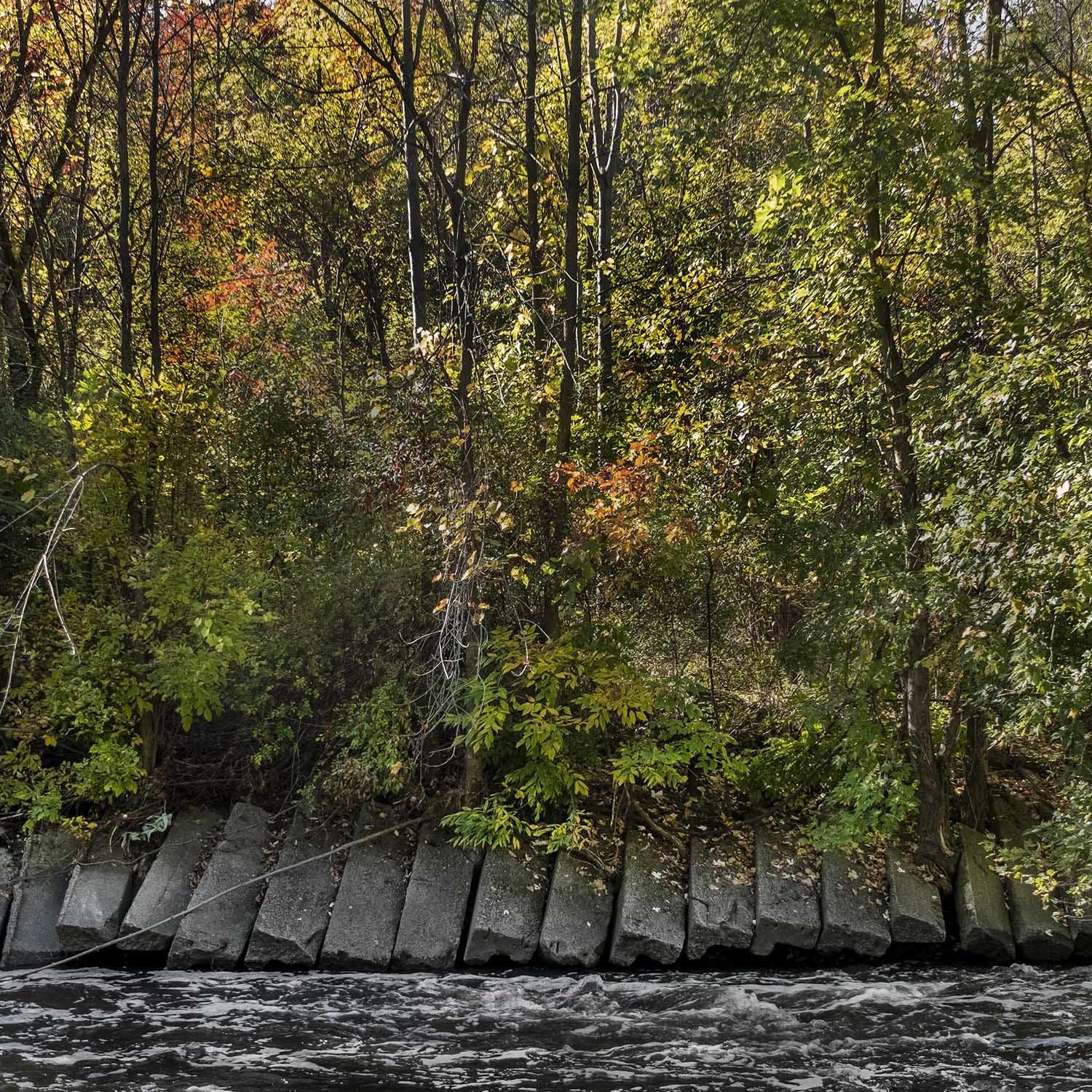
Municipal landscaping along the creek strives to be as picturesque as possible, but it’s worth remembering that the banks of the creek were once much starker, back before re-forestation, and in the years when the new wild landscaping was still maturing. All along the course of the creek the banks have been shored up with stones to halt erosion, and in some areas the effect is picture postcard pretty.
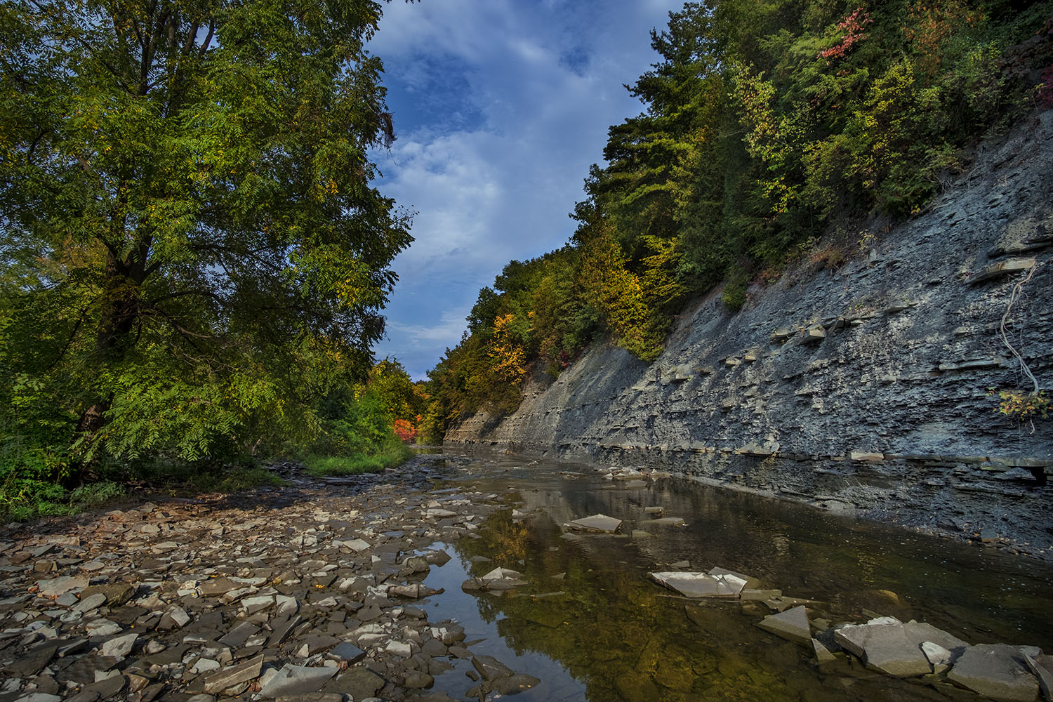
Occasionally, though, the creek cuts through walls of shale – the bedrock for much of its watershed, and the reason why the creek bed flows so quickly along its course. Wherever the banks aren’t engineered with blocks, slabs, stones or landfill, this shale covers the banks of the creek – shards and plates of flat, gray sedimentary rock thick in the water and along dry stretches, the water low after a dry summer.
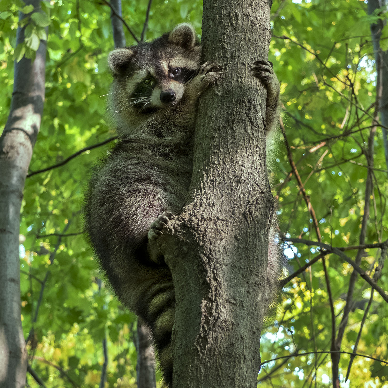

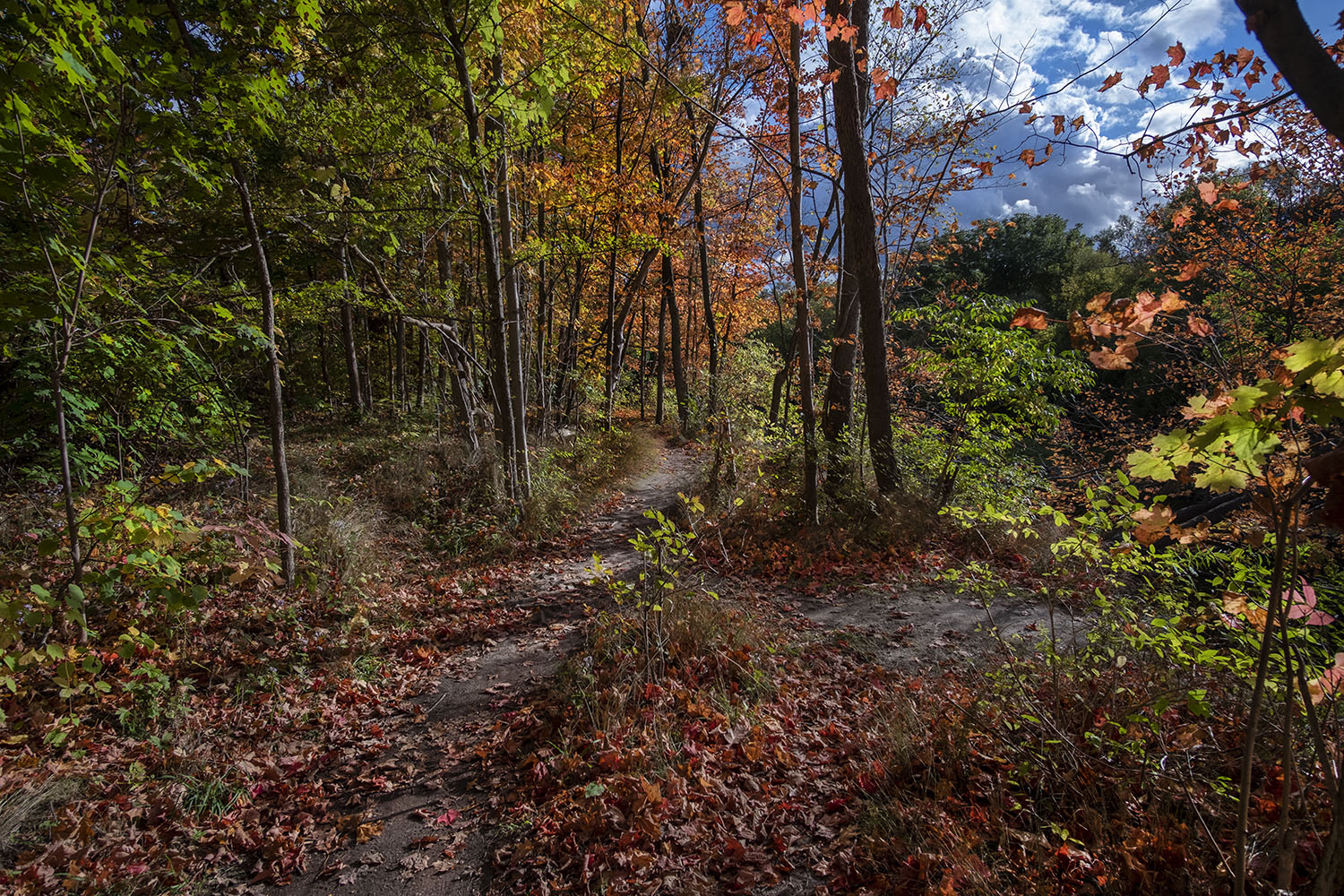
I end the first part of my hike where Etobicoke Creek crosses under Burnamthorpe Road, just before the trail leaves the creek north of Bloor Street. I’m making my way up a steep dirth path through the woods when I encounter some urban wildlife – a very fat raccoon who slowly scales a tree as I approach him, stopping to look me over from behind the trunk. It’s hardly a rare sighting – “trash pandas” might as well be Toronto’s municipal animal, as closely as they’ve come to live among us, but I still find myself charmed by these clever, opportunistic animals.
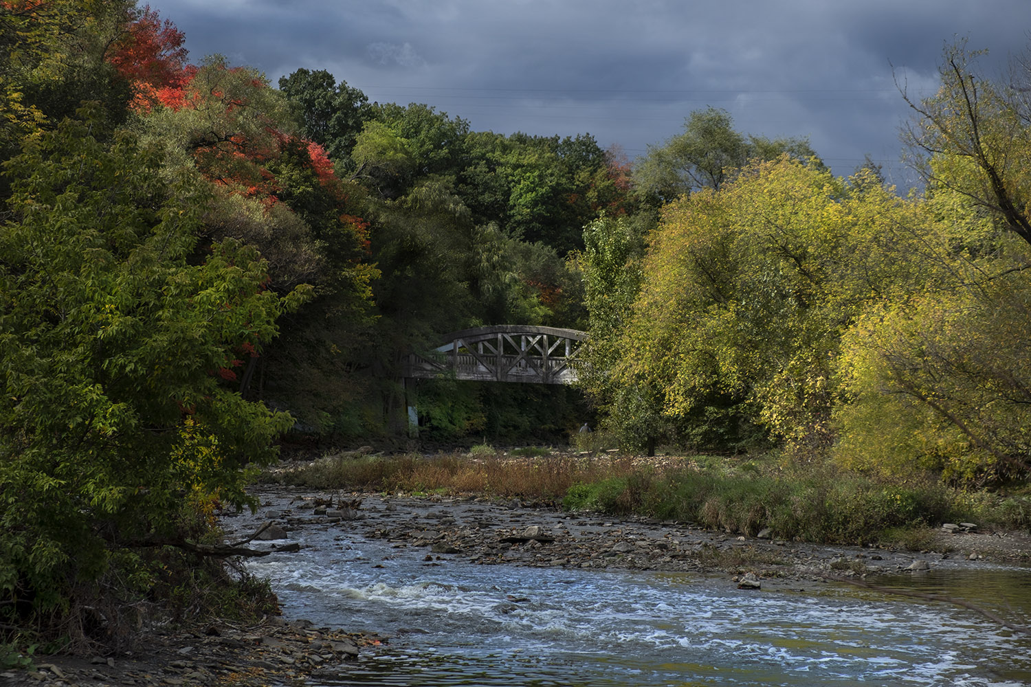
MY HIKE RESUMES A WEEK LATER, at the old Middle Road Bridge, just south of where the creek crosses under The Queensway. The crumbling track that takes you to the bridge from a nearby shopping mall, Sherway Gardens, used to be a busy road that connected Toronto to Hamilton. Built in 1909, the bridge has been landmarked and repaired and still connects Mississauga on one side of the creek to Toronto on the other.
It’s a rule of thumb that bridges are usually built over the most photogenic bits of a river, and the Middle Road Bridge is no exception. I set up under its concrete span and take photos of the creek flowing briskly through a chicane, just south of where the Little Etobicoke Creek, a major tributary, joins it just by the Queensway overpass that replaced the old bridge over my head.
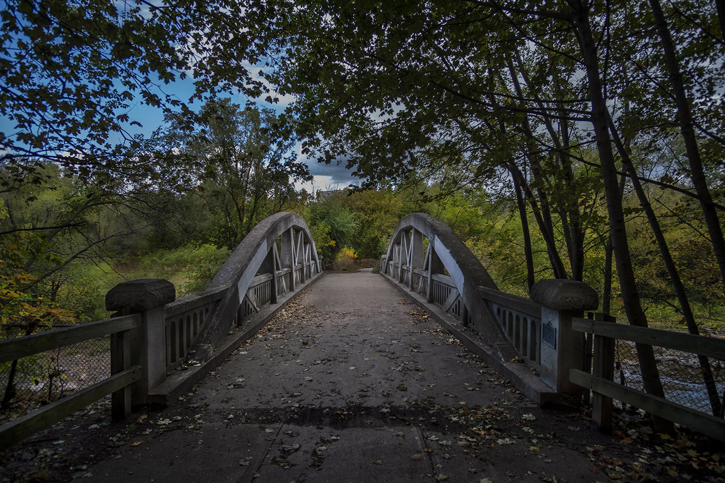
The Middle Road Bridge was designed by Frank Barber, an engineer responsible for many of the bridges built in the Toronto area in the first decades of the last century. He’s a big deal among bridge and infrastructure nerds, and it’s hard not to admire the elegance of his work, which includes the lovely Old Mill Road bridge that spans the Humber River. Photos of the bridge from as recently as 1984 reveal just how spare and treeless this area was, decades after the single-lane road carried by the bridge was closed to auto traffic.
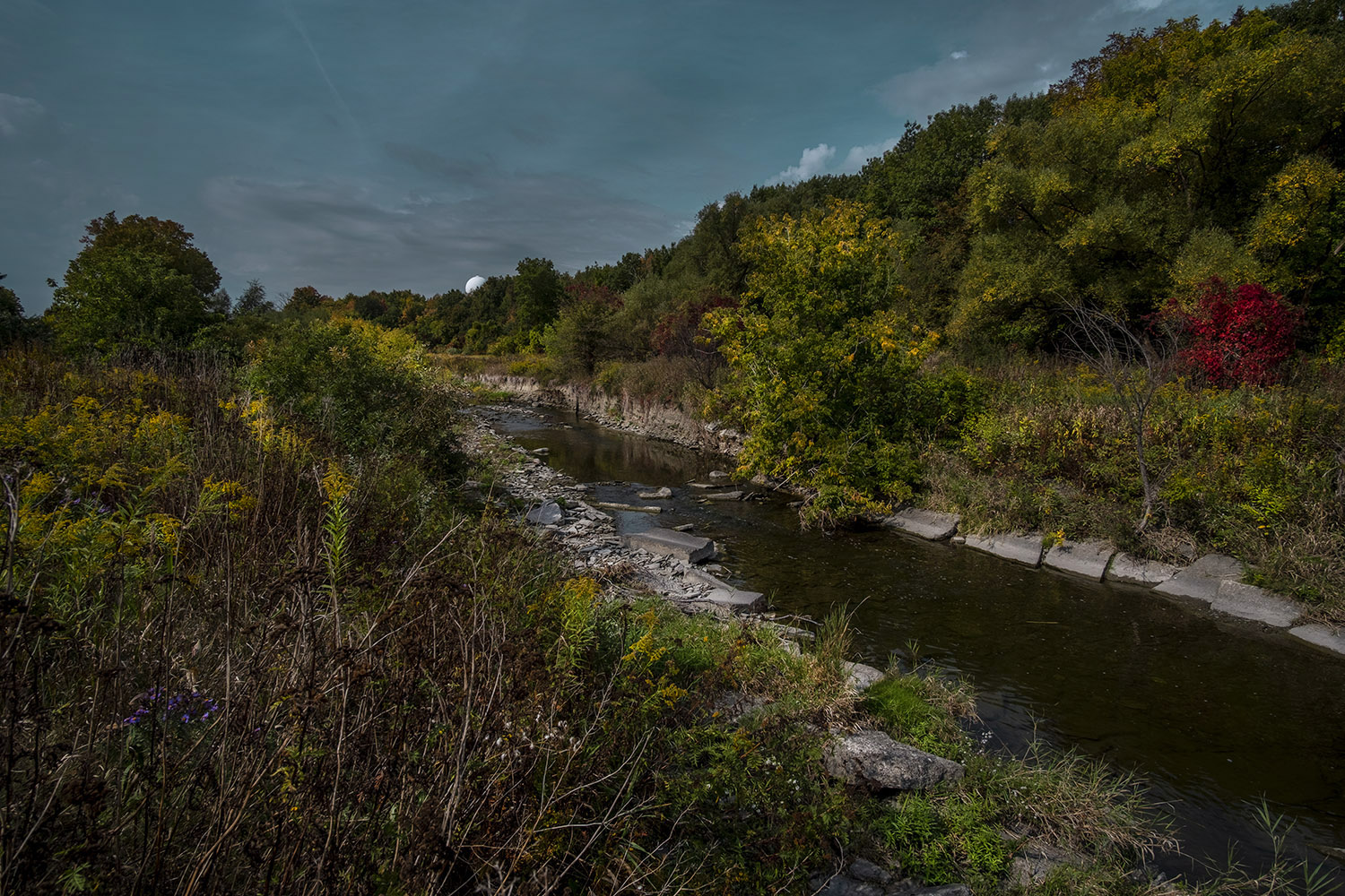
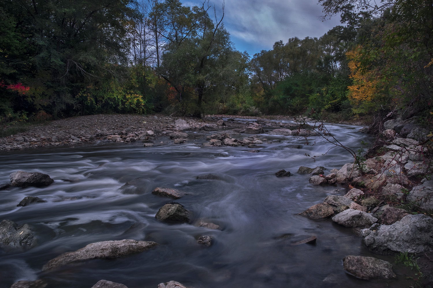
More construction work under the Queen Elizabeth Way – the highway that replaced Middle Road as the route west to Hamilton and Buffalo, NY – makes me take yet another detour, around the QEW and into Etobicoke Valley Park, where the Etobicoke Creek Trail finally resumes its course uninterrupted to the lake. The water is flowing briskly here through more exposed walls of shale, and I stop to take a long exposure shot.
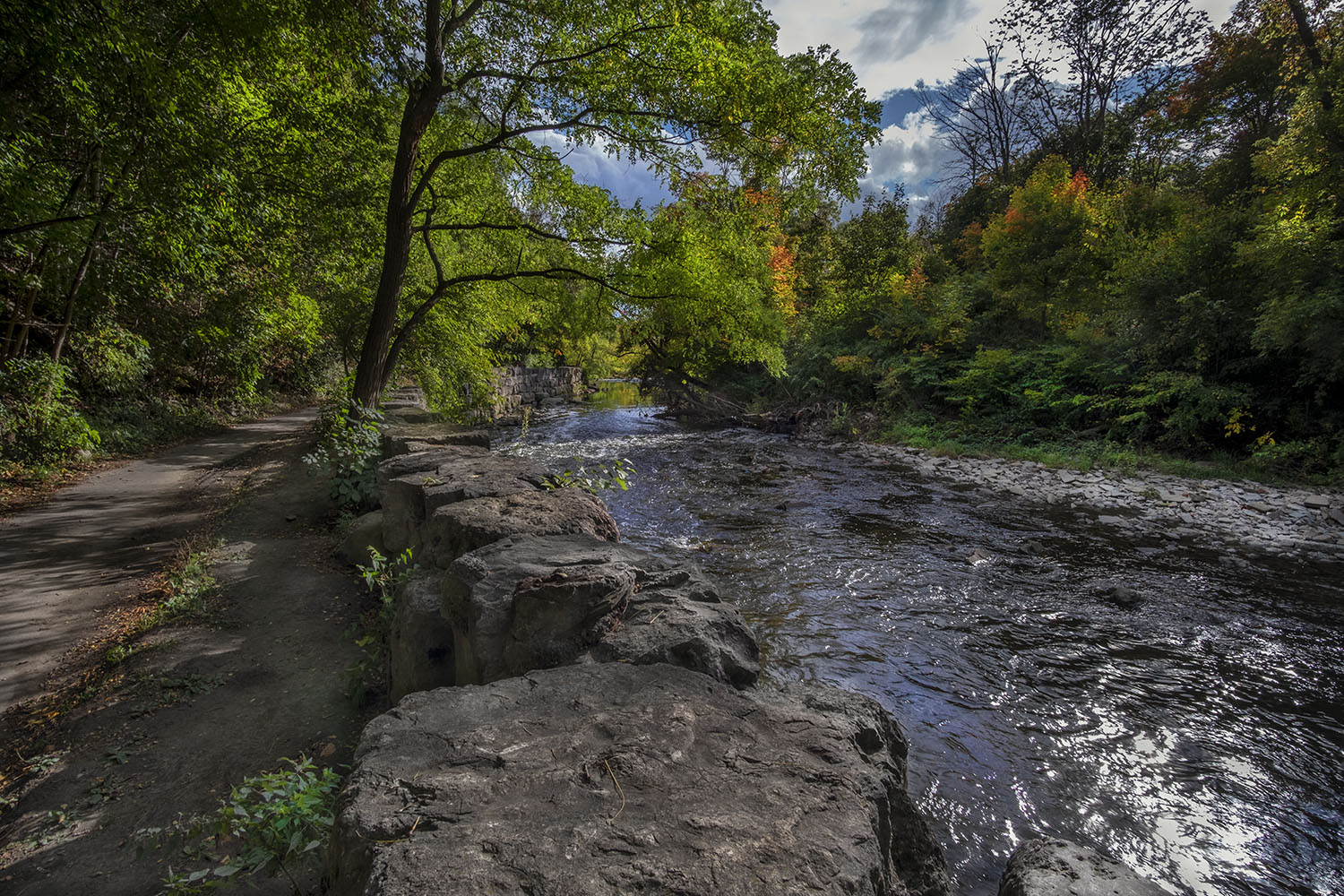
The trail passes through a series of connected public parks, where the city and the conservation authority have done a lot of work to balance re-naturalizing the river with controlling erosion and flooding. It’s a difficult juggling act, but after years of engineering projects and tree-planting efforts, its paid dividends with some of the loveliest waterside paths in the city.
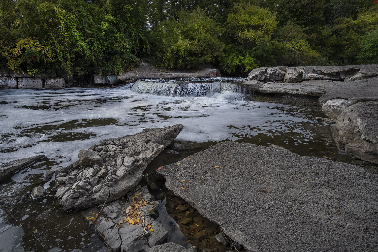
Water quality is an issue with urban waterways like Etobicoke Creek. The crumbling First Barrier, known locally as the Waterfall, was once part of a diversion channel that supplied water for the area before decades of runoff made creek water less drinkable. It remains in place, its concrete apron slowly breaking apart in the rushing water, while water quality has improved enough that crayfish make a home in the creek. The annual salmon run is coming to an end with early autumn, the big fish cutting through the shallows and leaping over the barrier, past boys standing in the water with fishing rods. It’s lovely, but I can’t help but recall this spring, when an accident at a nearby factory stained the creek red with ink.
Toronto wasn’t built as a city that valued green space – the old downtown barely had a handful of public parks, and it wasn’t until the 1876 gift of High Park to the city that we came around to the Victorian fashion of having large recreational parks for public use. After years of landscaping that meant acres of lawns and formal gardens, we’ve embraced wooded parkland – still carefully managed and landscaped, but with the goal of mimicking nature.
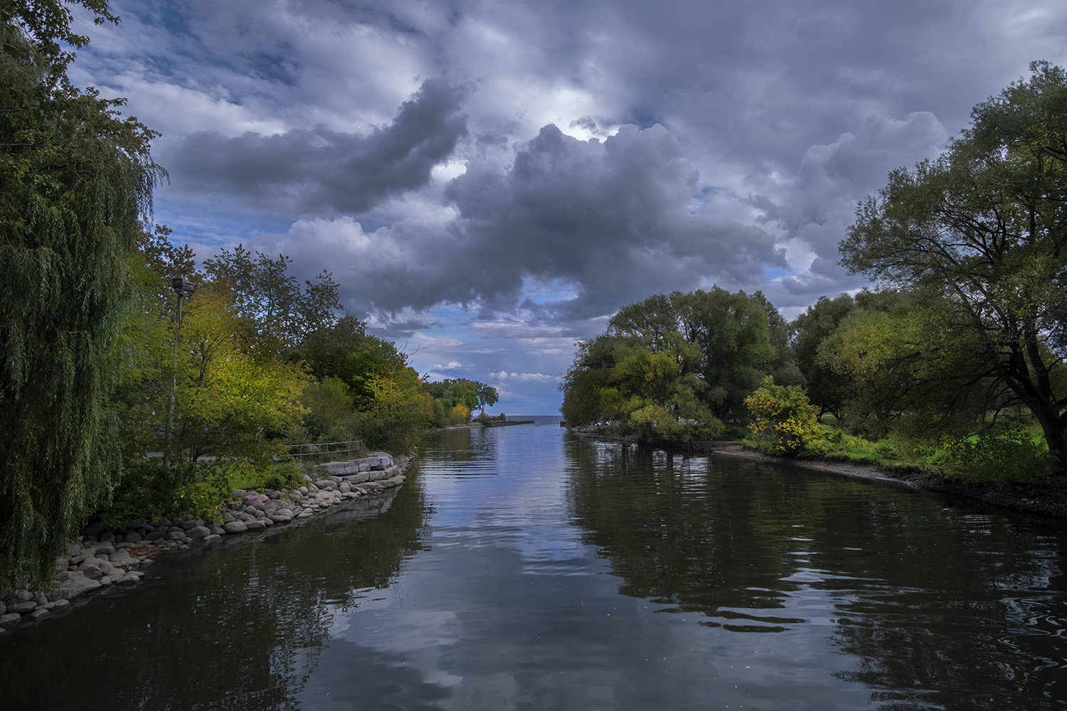
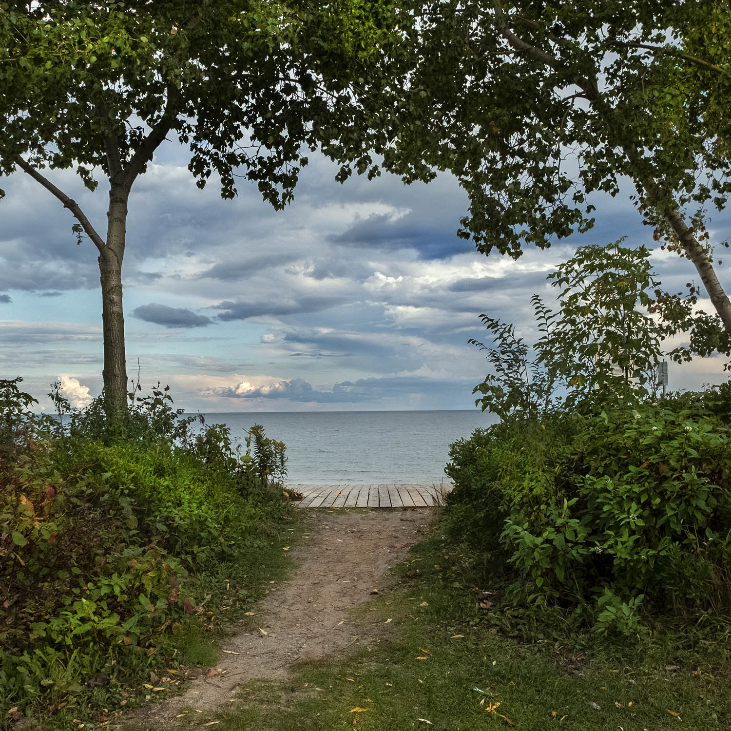
Etobicoke Creek empties into Lake Ontario at Marie Curtis Park, broad and still for the first time in its long path to the lake. The park here is civilized, with the usual urban picnic and sports amenities and a very pleasant, tidy beach. The creek and the landscape around it has gone through a few transformations on the two days it’s taken me to follow less than half of its course, most of which have a lot more to do with our making than nature. We lost quite a few creeks like Etobicoke Creek to the city’s growth over the last century or two, buried and turned into little more than sewers and storm drains. Maybe we’ve finally found a better way of doing things.
Photos and story © 2020 Rick McGinnis All Rights Reserved

Amazing, Rick!
LikeLiked by 1 person
Really beautiful🌙
LikeLiked by 1 person
Beautiful shots, Rick.
LikeLiked by 1 person
Who would have thought about hiking here? Love the raccoon photo.
LikeLiked by 1 person
[…] through the trees. Alone among Toronto’s waterways, the Rouge has never been channeled or diverted, and is allowed to flood regularly. It also has the best water quality of all of the city’s […]
LikeLike
[…] the time the city expanded out past it, spreading the city boundary west past the Humber River to Etobicoke. The Hillside Gardens, with their grass lawns, formal landscaping and meandering paved paths, are […]
LikeLike