THE HISTORY OF EVERY CITY BEGINS WITH WATER, whether it’s an ocean harbour, a lakeport or a river. In Toronto’s case, this means two rivers and many, many creeks and streams – the whole city is built on a landscape of ravines cut by water from glaciers that once covered the area. Some of these creeks and streams have been buried by development, but the two rivers that run through the city dominate the maps and dictate the direction of roads. In the east there’s the Don, and in the west there’s the Humber, the river of my childhood.
I grew up a short walk from the river, next to Black Creek, which emptied into the Humber nearby. But like most locals, I only ever knew my stretch, a couple of miles of paths bounded by golf courses and public parks. Unknown and unseen (to me) are whole stretches of the Humber running through forests, woodlots and farms dozens of miles south from the Niagara Escarpment near Caledon. That and the river’s home stretch to Lake Ontario, a few short miles of various parks and trails in the old west end.

So this is where I decided to go, in one of the last balmy weeks of summer. There used to be mills all along the Humber, but by the time I was a kid there was only evidence of one – the ruins of the Old Mill, which have since been restored and redeveloped into a hotel and spa. My hike starts by the very picturesque Old Mill Bridge, built in 1917 near what are supposed to be the best stretches on the river for fly fishing.
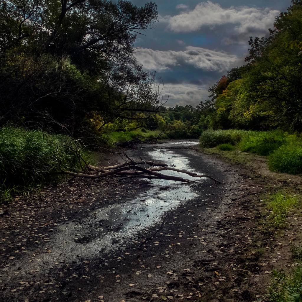
The river is low on the day I arrive, and its tributaries are little more than muddy creek beds. The Humber is an old river that meanders through the city, and it’s hard not to think of old English landscape painting when you walk along its banks – Constable in particular, and the rivers and streams running through Suffolk, Wiltshire and Dorset. It isn’t always like this – the river swells and even rages in the spring – but in late summer the Humber is very much tamed nature.
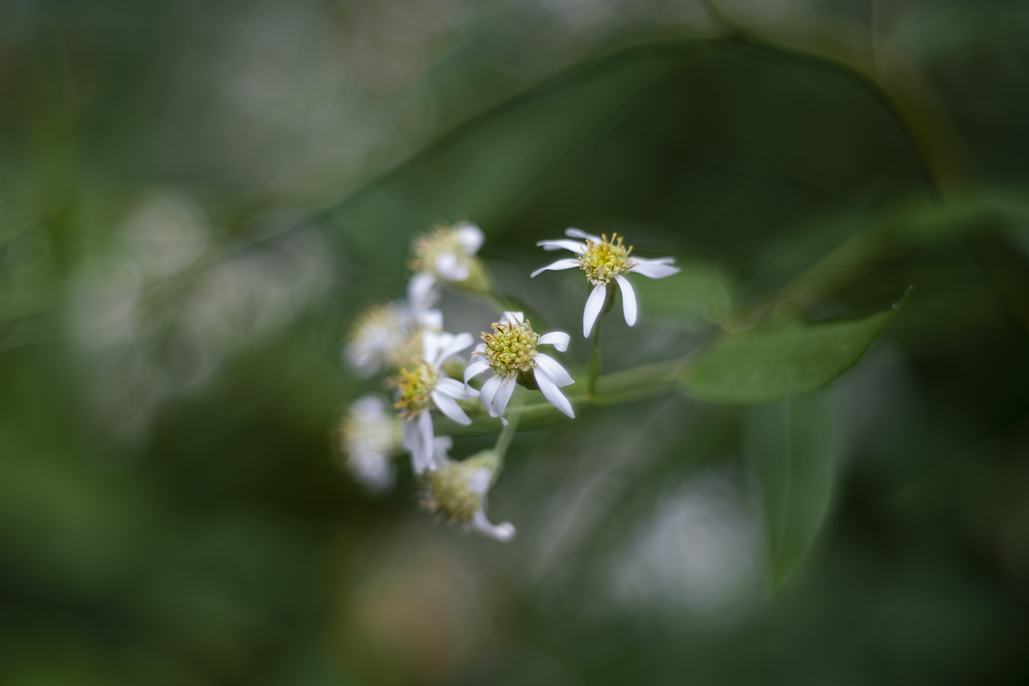
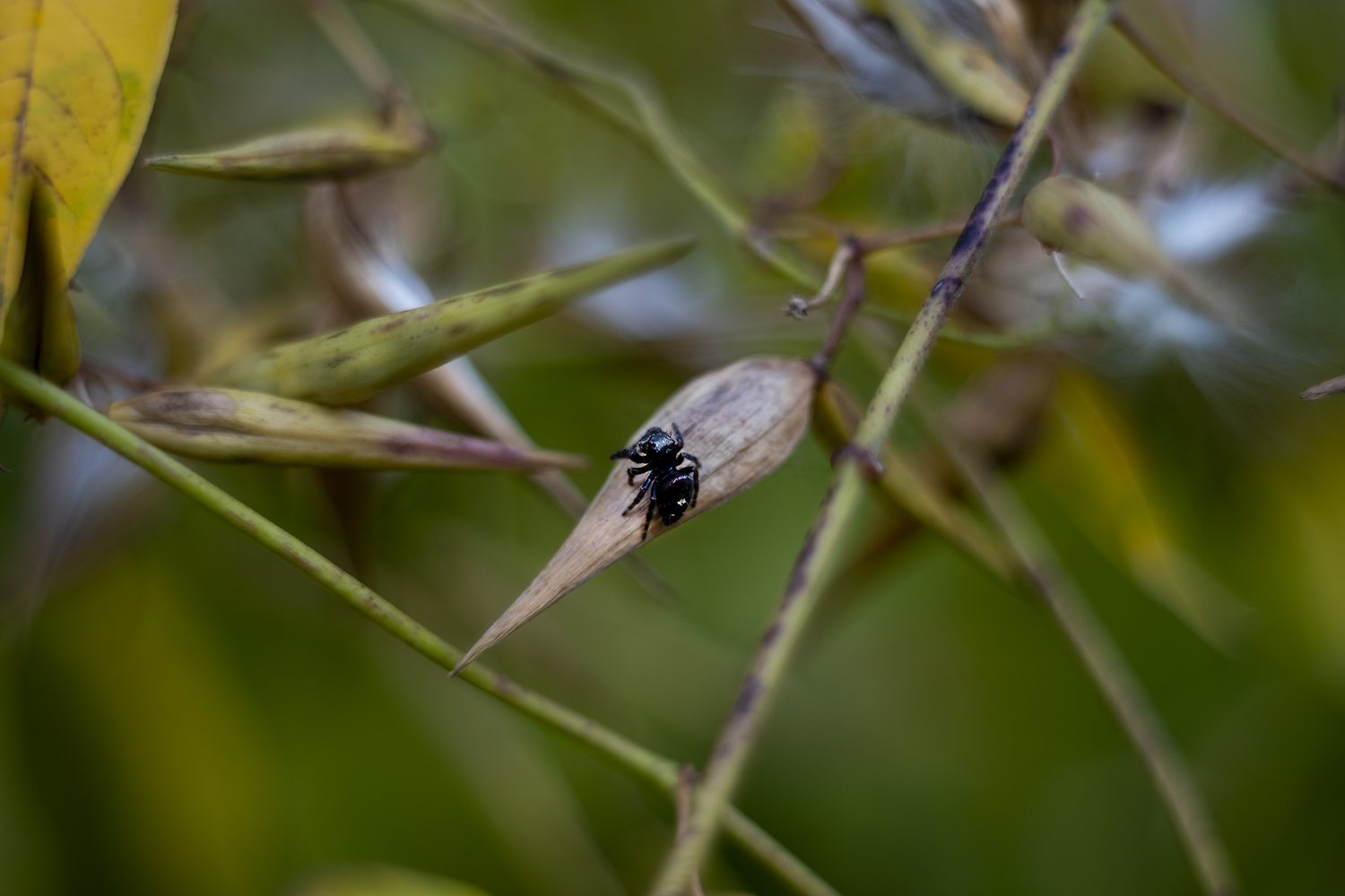

The last flowers are blooming by the paths next to the river – a final spatter of colour before the leaves begin to turn and fill places like the Humber Valley with red and gold for a week or two. A new (but vintage) lens helps me capture some of the colour and insect life up close while I still can, and before the long months bracketing winter when grey and brown dominate the valley’s palette.

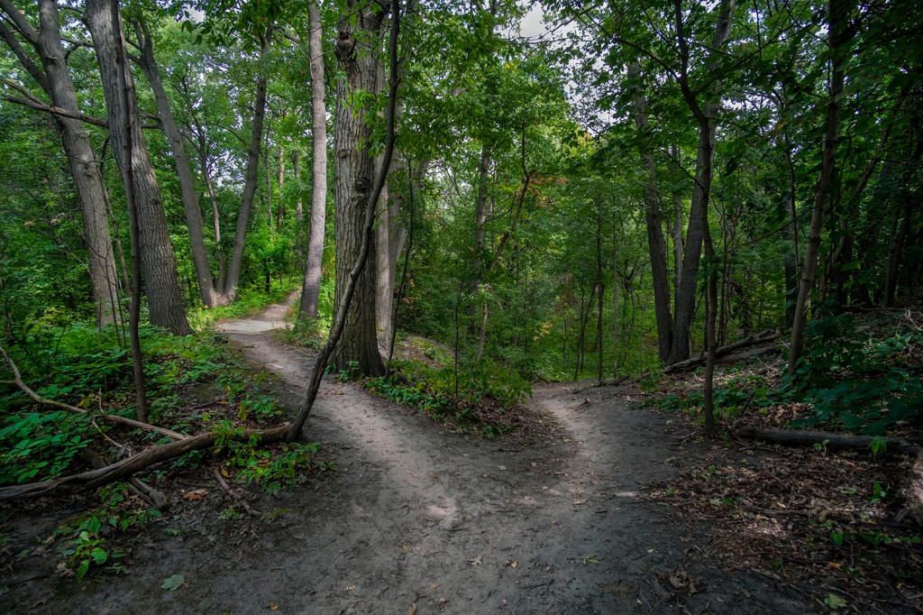
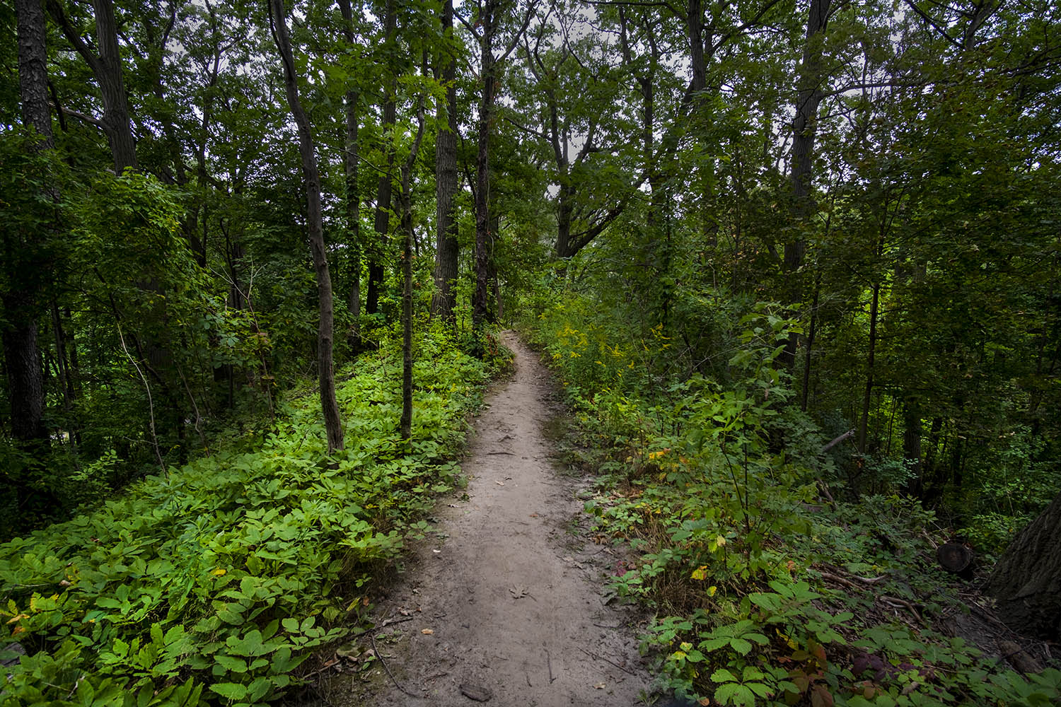
The route along the Humber here is dominated by the Humber River Recreational Trail, a combination of cycle and walking path that’s actually pretty far away from the water for most of its length. If you want to get a look at the water – or simply go where there are fewer people, on feet or wheels – look out for the dirt trails that branch off the main path and simply follow them wherever you can. They often end up on the river bank, or pass through woodland that’s amazingly wild in appearance, even if it’s never far away from apartment and condo towers or residential streets.

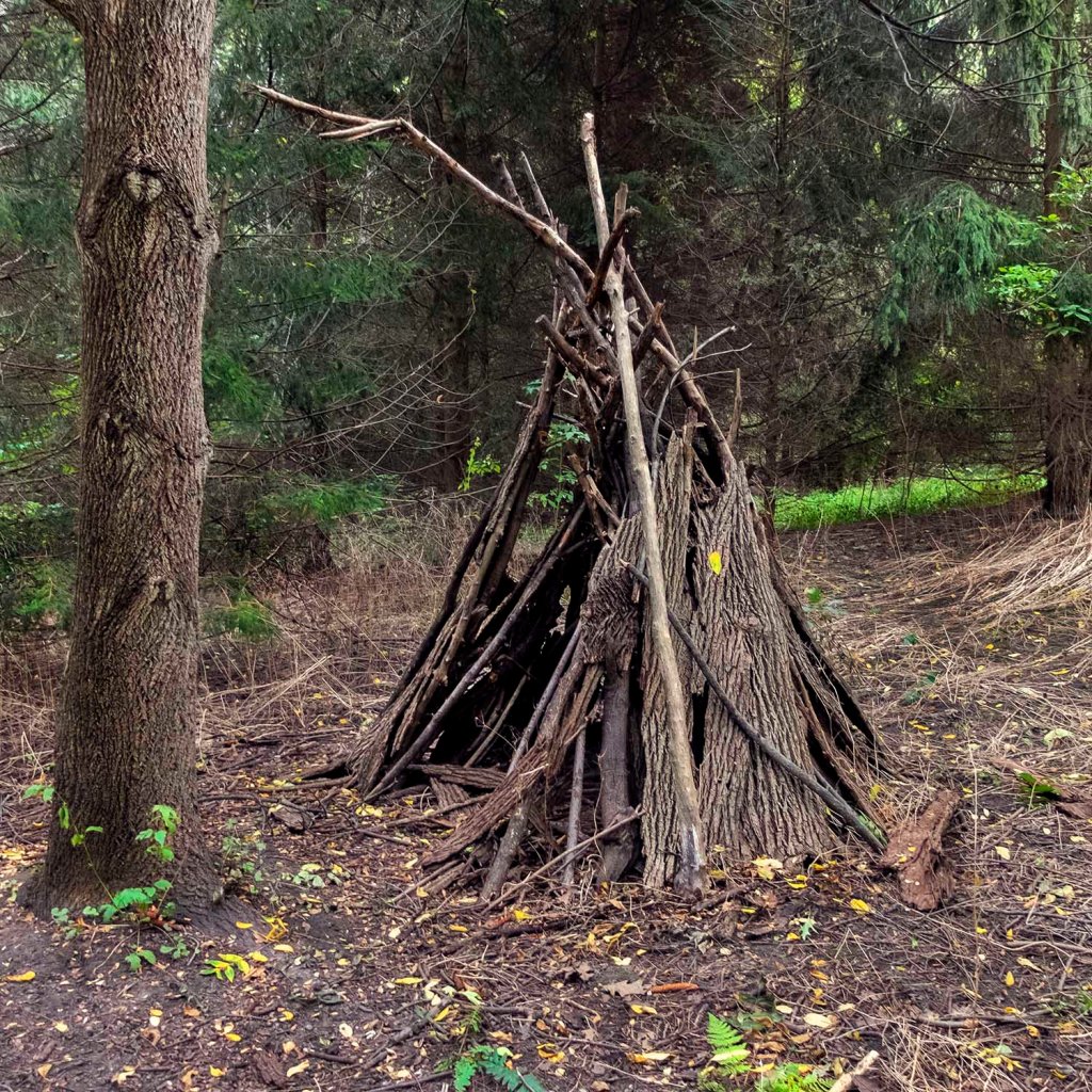
We aren’t, of course, the first people who lived here. The Humber has been settled on and off for around a dozen millenia, and long before the French built their trading forts along its banks. The Anishinaabe called it Cobechenonk, while another early map calls it Tanaovate. Walking through the dirt paths, I encounter several rough structures in the shape of tipis; they can be found all along the length of the Humber and by many other city waterways. I have no idea if they’re some subtle form of aboriginal commemoration, maybe even a silent protest, an art project or a bit of forest craft.

The first half of my trip along the Humber ends near where the river widens and turns, before heading off into the marshes north of the lake. It’s very peaceful and pastoral, but there are several commemorative plaques and memorials along the river devoted to Hurricane Hazel, which burst the Humber’s banks after a 1954 rain storm, killing 35 people and wiping out neighbourhoods and bridges.

Another massive flood in 1878 had destroyed the old water mills along the river – devastation made much worse by the forestry and farming that had cleared the banks and flood plain since settlement began. These disasters, and Hurricane Hazel in particular, convinced the city that the city’s rivers needed to be conserved and re-naturalized. A conservation authority was created and parkland mapped out along the length of the Humber; the marshes and woodland we see along the river today are the products of this effort – along with the creation of the Leslie Spit, one of the city’s planning success stories.
The trail ends just by this bend in the river, where you leave the green space and head though a neighbourhood of postwar lowrise apartment houses along Stephen Drive to the entrance to South Humber Park. The cycle and walking trail continues here, but I made a right turn by the entrance to the park and headed off into another stand of woodland.
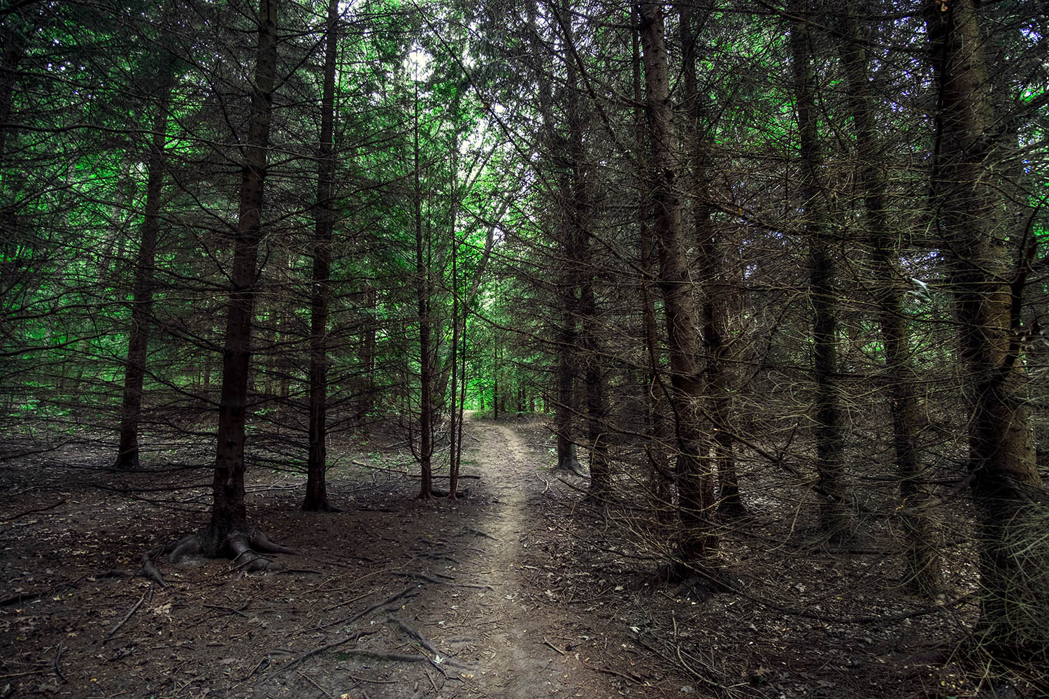
It’s easy to fool yourself that this is ancient forest, but a friend tells me that her Girl Scout troop used to spend days here helping to plant trees. The conservation authority has put a lot of effort into recreating the oak savannah and river marshes along the Humber, along with other stretches of woodland by the trails. On my day here, dirt paths cut through deciduous trees just starting to colour and I can’t help but pause and enjoy the silence in hushed, dark stands of evergreens.

And then the path sends you back onto the trail, where you turn a corner and encounter a truly remarkable sight. The Oculus was designed in 1958 by British-born architect Alan Crossley and built in 1959. Also known as the Spaceship and the UFO, it was intended as a rest station and shelter along the path. A sculpture once sat in the space beneath the opening in the dish-like roof, but it’s been gone for decades.
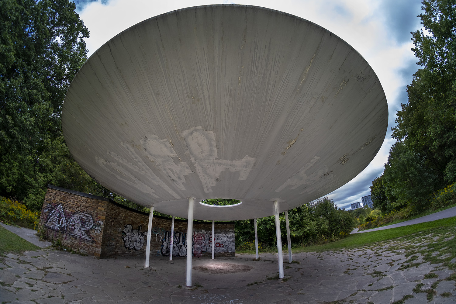
The fate of the Oculus was uncertain a few years ago, but a movement to preserve it was launched and the city is apparently committed to restoring and repurposing this outlandish relic of space age postwar modernism. The washrooms are padlocked – even the nearby water fountain has been gutted – but the sun still shines through the opening in the roof, illuminating the ground, and I’m told the acoustic properties of the area beneath the dish are truly unique.
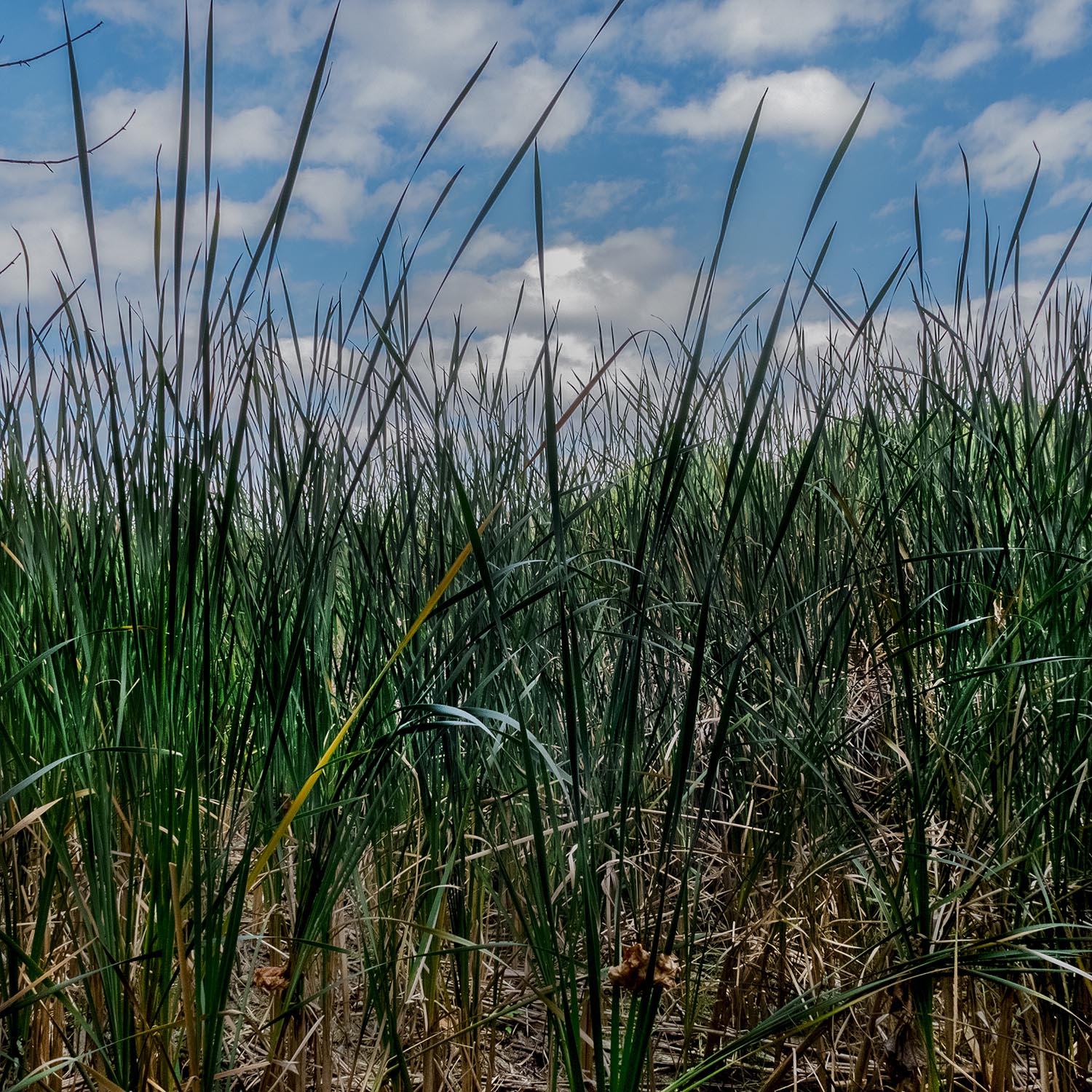


The last stretch of the trail to the lake cuts close to the wetland and marshes reclaiming the banks of the Humber. I leave the path to get closer to the tall reeds and grass and startle a white-tailed deer, making her way through the rushes just a few feet from the path. At this point I’m never more than a few yards from a water treatment plant and the ever-growing neighbourhood of condo towers by the mouth of the Humber, but the dense vegetation, including thickets of sumac turning bright red with the first chilly nights, disguise this until the path finally passes under the bridges for roadways, freeway and rail just by the lake shore.

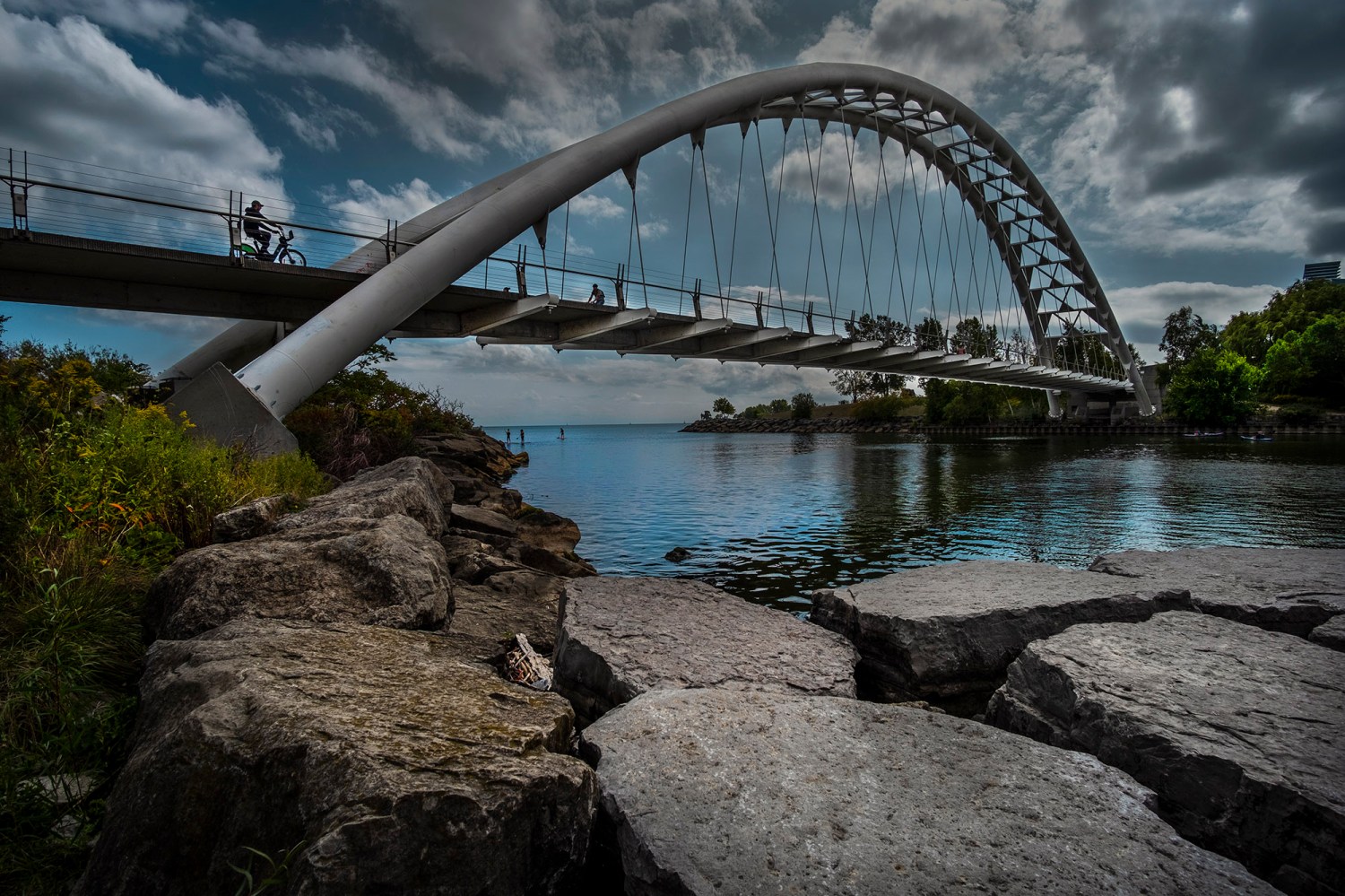
The trail ends by the mouth of the river, and the footings of the Humber Bay Arch Bridge, a striking, iconic structure built in 1994, when the city was expanding the network of bike and walking trails that have reclaimed the lakeshore as a recreational area for a growing population that’s filled the area since industry left the river and the shore. There are miles you can go in either direction, but I decide to end my journey next to another bridge.
Photos and story © 2020 Rick McGinnis All Rights Reserved

[…] to admire the elegance of his work, which includes the lovely Old Mill Road bridge that spans the Humber River. Photos of the bridge from as recently as 1984 reveal just how spare and treeless this area was, […]
LikeLike
[…] hike I can only glimpse the water, curving lazily, through the trees. Alone among Toronto’s waterways, the Rouge has never been channeled or diverted, and is allowed to flood regularly. It also has the […]
LikeLike
[…] Torontonians by the time the city expanded out past it, spreading the city boundary west past the Humber River to Etobicoke. The Hillside Gardens, with their grass lawns, formal landscaping and meandering paved […]
LikeLike
[…] the river over a distinctive bridge. We’ve been here on this blog before, at the end of a hike down the Humber from Bloor Street to the lake; the Humber Bay Arch Bridge was designed by Montgomery and Sisam […]
LikeLike